Jul 09, 2020 - Sale 2540

Sale 2540 - Lot 140

Price Realized: $ 2,750
?Final Price Realized includes Buyer’s Premium added to Hammer Price
Estimate: $ 2,000 - $ 3,000
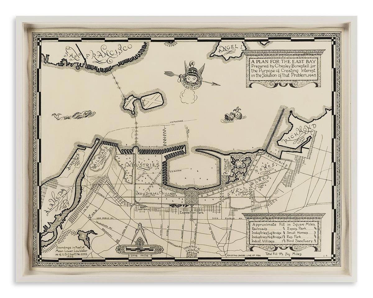
(MANUSCRIPT MAP.) Bonestell, Chesley. A Plan for the East Bay Prepared by Chesley Bonestell for the Purpose of Creating Interest in the Solution of that Problem. India ink and graphite on thin paper. 16 1/4x21 1/4 inches sheet size; a few soft creases; handsomely float-mounted, framed and glazed. California, 1945

Additional Details

A pleasing post-World War II shoreline improvement plan of the East Bay by renowned American space and science fiction illustrator Chesley Bonestell. The plan touches on San Francisco only enough for context and shows just a hint of Alcatraz and Angel Island. The focus of the plan is on the Oakland and Berkeley side of the Bay, describing coastal and pier development from the Alameda Naval Airfields to Point Richmond. Main roads, residential and industrial areas, an exposition park, bird sanctuary, Union Station, and the University of California are some of the specific references found on the map. A few decorative motifs commonly found on sixteenth-century maps such as sea monsters, a wind-head compass, an ornate distance scale and title cartouche proved too tempting for the imaginative Bonestell not to include in his composition.