Dec 08, 2022 - Sale 2624

Sale 2624 - Lot 80

Unsold
Estimate: $ 800 - $ 1,200
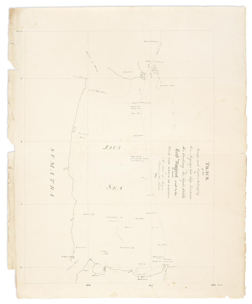
(MANUSCRIPT MAP -- EAST INDIES.) John R. Mayne. Track of the Barge and Cutter Belonging to His Majesty's Late Ship Alceste with His Excellency the Right Honble Lord Amherst and Suite on Board from the Wreck to Batavia. Neatly hand-drawn chart of the southeast coast of Sumatra and northwest Java from the Sunda Strait to Batavia (Jakarta). Ink on "JWhatman/1807" watermarked wove paper, 22 1/2x27 3/4 inches sheet size; vertical fold at center, edges worn with small losses not affecting image. [London, 1817]

Additional Details

In 1816 the British organized a diplomatic mission to China, led by Lord Amherst, aimed at redressing commercial relations. Upon arrival in Peking Amherst refused to prostrate himself before the Emperor who in turn declined to grant him an audience thus negating the objective of the ambassador's mission. In early1817 the commission set off for their return journey but on February 18th the HMS Alceste ran aground of an unrecorded reef at the southern tip of Bangka Island. Although all made it to land, the ship was wrecked and lost. While the majority of crew stayed on the island awaiting later rescue, Amherst and the delegation were taken in the Alceste's brig Lyra south to Batavia, under the command of the Alceste's master, John Mayne. Upon their return to England, Mayne drew a chart of the wreck-site-to-Batavia leg of the voyage to accompany Henry Ellis's "Journal of the Proceedings of the Late Embassy to China" published in 1817. In that printed account appears an engraved reduced version of the present hand-drawn map.