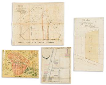
- Anonymous ("The Artist Is Still At Large"). To Harriet & John, With This Ye Can't Go Wrong In Forest Hills. Manuscript pictorial map of Forest Hills, Queens centered on the tennis stadium and Burns Street. Ink and watercolor on parchment, 12x16 inches overall; archivally lined on verso with mulberry, several stains, small tears and edge chips. New York, circa 1930s.
- Adolphus Loss, City Surveyor. A Map of a Piece of Land, Situate at the Town of Harlem, the Property of Herman Raub, Esqr. Manuscript survey of a residential plot in Harlem. Ink and watercolor on 3 sheets of watermarked laid paper joined, 23x12½ inches overall; old folds, small stains. New York, 1816.
- Mary Walter. A Map of the Lots in the Vicinity of Canal St. Belonging to the Estate of James Walter; as Divided by the Commissioners Amongst the Heirs and Divisees, copied by Mary Walter, New York, August 1817. Manuscript map of the intersection of Canal and Church Streets, Manhattan. Ink and watercolor on paper, 15½x12¾ inches overall; backed on canvas, faded with stains, creases, and stitching marks at the edges. New York, 1817.
- William Kowalski, City Surveyor. Map of the Stryker Estate on Coney Island. Manuscript map of land owned by several members of the Stryker family adjoining Coney Island Creek. Ink and watercolor on prepared architectural linen, 18½x22½ inches overall; archivally lined with mulberry, foxing, later pencil annotations, Kowalski in stamp. New York, 1881.
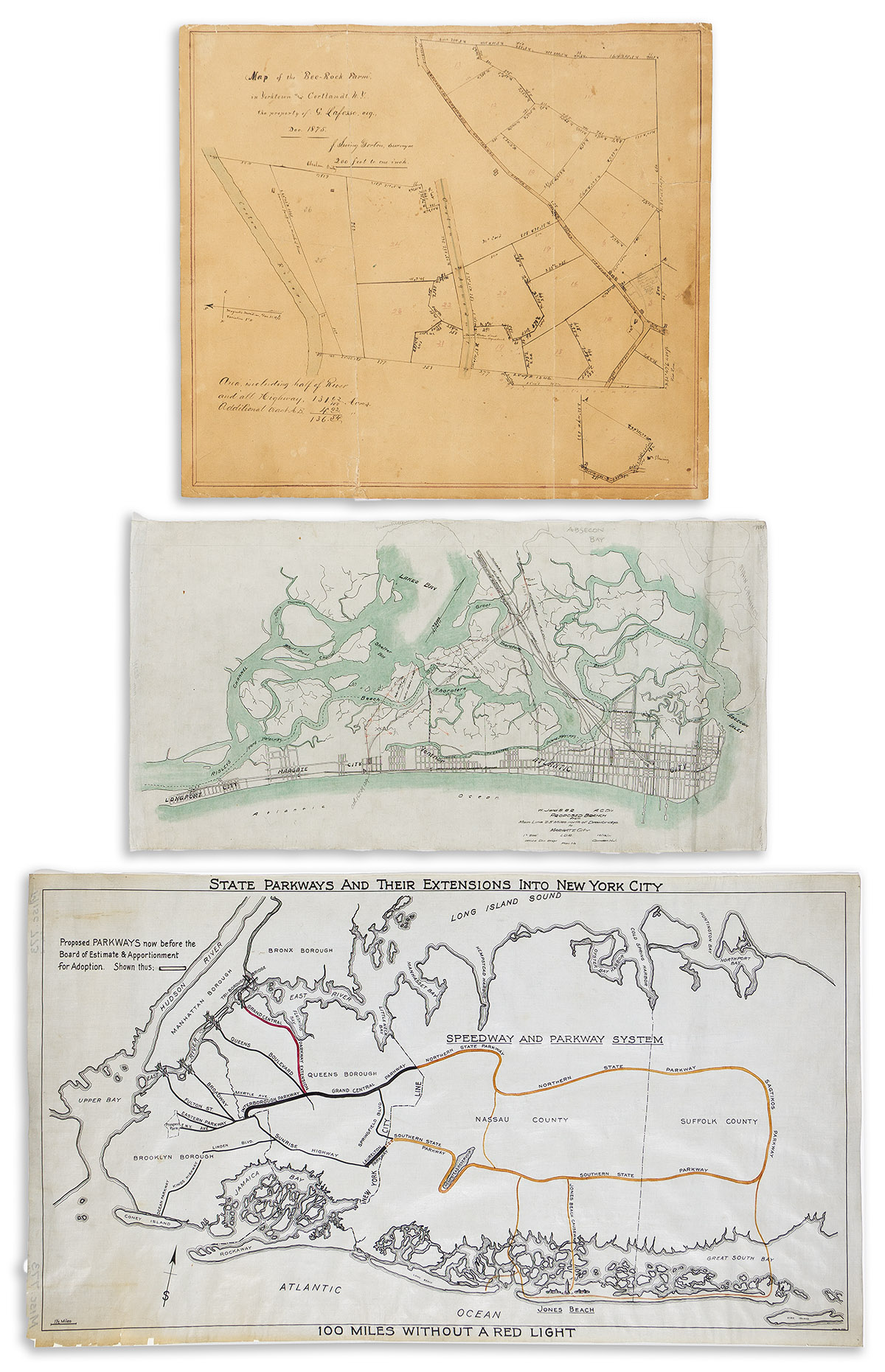
- J. Irving Gorton, Surveyor. Map of the Bee-Rock Farm in Yorktown and Cortlandt, N.Y., the Property of G. Lafosse, Esq. Manuscript property plat centered on a stretch of the Croton Aqueduct. Ink and watercolor on heavy paper, 19x21 inches overall; backed with linen, large vertical cracks, small stains. New York, 1875.
- West Jersey and Seashore Railroad. Proposed Branch from Main Line 2.5 Miles North of Drawbridge to Margate City. Manuscript map of proposed railroad lines into Atlantic City. Ink and watercolor on prepared architectural linen, 13x25 inches overall; creases and folds, pencil annotations. Camden, N.J., 1911.
- State Parkways and Their Extensions Into New York City; 100 Miles Without a Red Light. Manuscript map outlining proposed extensions of the Northern and Southern State Parkways, Long Island. Black and orange ink on prepared architectural linen, 18¼x33 inches overall; archivally lined with mulberry, small chips of margin loss at lower left. New York, January 10, 1933.