May 19, 2015 - Sale 2384

Sale 2384 - Lot 142

Price Realized: $ 438
?Final Price Realized includes Buyer’s Premium added to Hammer Price
Estimate: $ 200 - $ 300
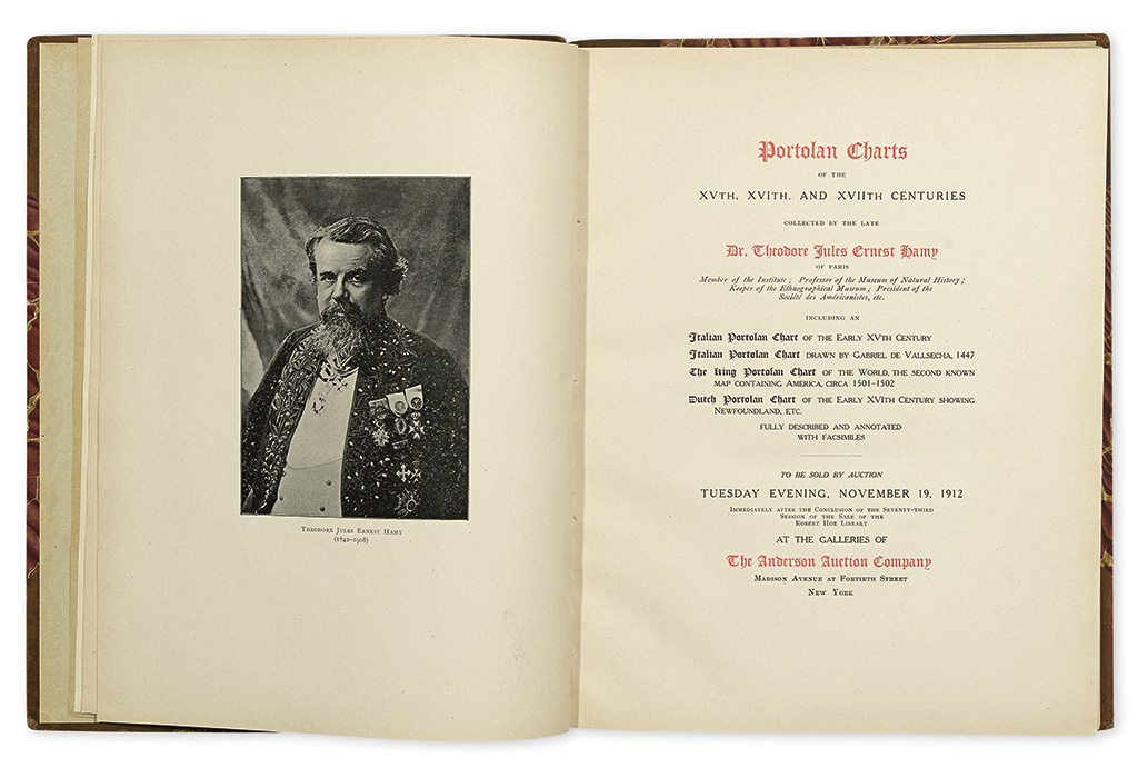
(MAP REFERENCE--AUCTION CATALOG.) Portolan Charts of the XVTH, XVITH, and XVIITH Centuries Collected by the Late Dr. Theodore Jules Ernest Hamy of Paris. . . to be sold by auction Tuesday evening November 19, 1912 Immediately after the Conclusion of the Seventy-Third Session of the Sale of the Robert Hoe Library. Frontispiece and 13 photographic plates (many of which folding). 4to, contemporary 1/2 calf, 285x225 mm, backstrip loose at front hinge; internally fine. Ex Libris of James Douglas on front pastedown. New York: Anderson Auction Company, 1912

Additional Details

A scarce, heavily illustrated catalog for one of the most important map auctions of the 20th century. The top lot in the sale was the King-Hamy Portolan Planisphere, among the very first maps to depict the New World, which was purchased for $14,600 by Dr. Leo Baer, and subsequently resold to the industrialist James W. Ellsworth for $16,000, then it made its way to the Huntington Library, where it now resides.