Jun 23, 2022 - Sale 2610

Sale 2610 - Lot 112

Price Realized: $ 6,500
?Final Price Realized includes Buyer’s Premium added to Hammer Price
Estimate: $ 7,000 - $ 10,000
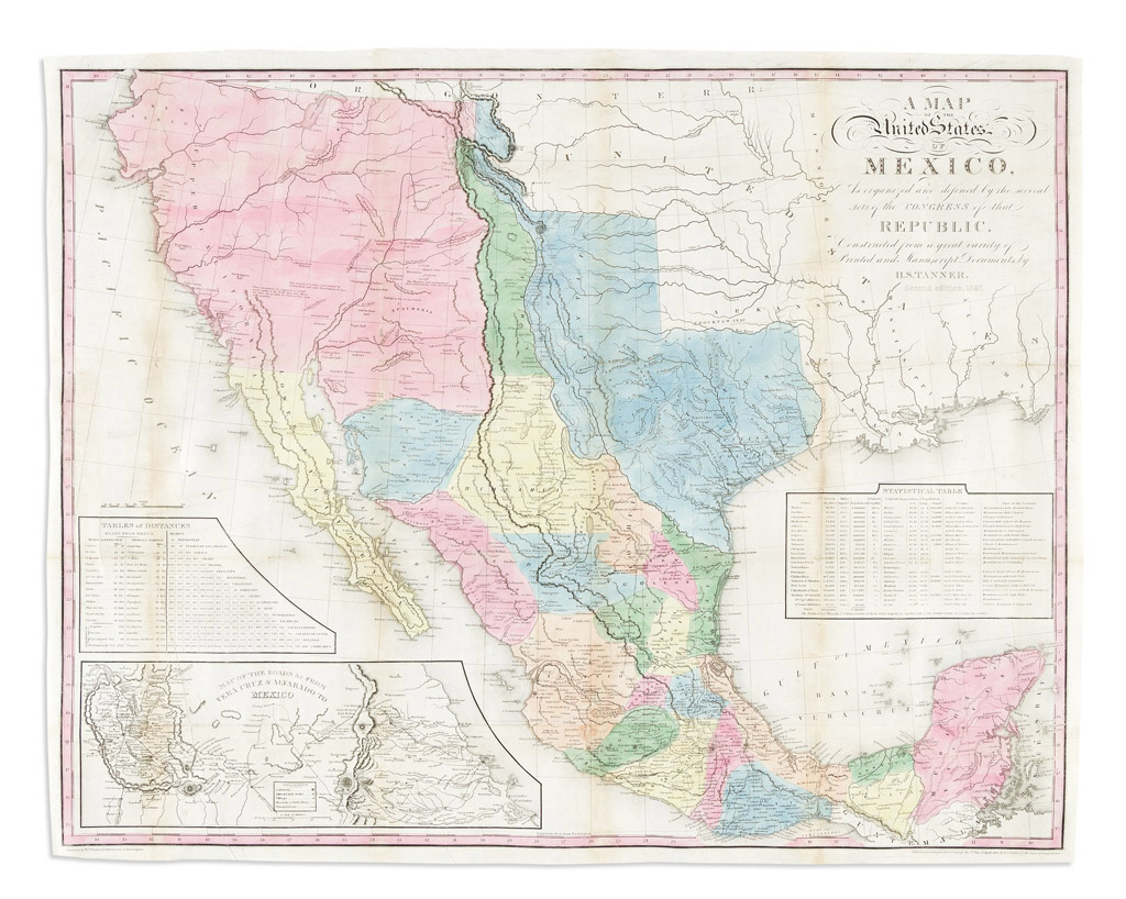
(MEXICO.) Henry Schenk Tanner. A Map of the United States of Mexico, As Organized and Defined by the Several Acts of Congress of that Republic. Large hand-colored lithographed map of southwestern North America with an inset plan of the roads from Vera Cruz to Mexico City and two tables of statistics. 2 sheets joined, 23 1/2x29 1/2 inches overall, wide margins; original folds flattened and archivally stabilized on verso, light vertical discolorations and minor wear at a few fold intersections, printer's crease at lower left; original cloth covers detached but present. Philadelphia, 1832 [but 1846]

Additional Details

Influential map of Mexico, Texas, and the American southwest during a period of great political boundary dispute within that region. "Second Edition, 1846" (i.e., 7th issue overall). Ristow, A La Carte, pages 207-208.