Sep 30, 2010 - Sale 2223

Sale 2223 - Lot 143

Price Realized: $ 5,040
?Final Price Realized includes Buyer’s Premium added to Hammer Price
Estimate: $ 1,500 - $ 2,500
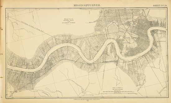
(MISSISSIPPI RIVER.) Preliminary Map of the Lower Mississippi River from the Mouth of the Ohio to the Head of the Passes. Title page, 32 lithographed mapsheets, table, and 3 index charts. Oblong folio, 15 x 24 inches, disbound, with detached original 1/4 calf printed boards, worn; title page toned, marginal dampstaining, most maps generally bright. St. Louis, MO, 1885

Additional Details

Extremely detailed maps of the river and surrounding land as it passes along the borders of Kentucky, Missouri, Tennessee, Arkansas, and Mississippi, and through Louisiana. Depicts cotton fields, roads, canebrakes, levees, Indian mounds, and much more. Phillips Maps, page 442; only one other copy found at auction.