Dec 04, 2008 - Sale 2165

Sale 2165 - Lot 55

Price Realized: $ 1,920
?Final Price Realized includes Buyer’s Premium added to Hammer Price
Estimate: $ 2,000 - $ 3,000
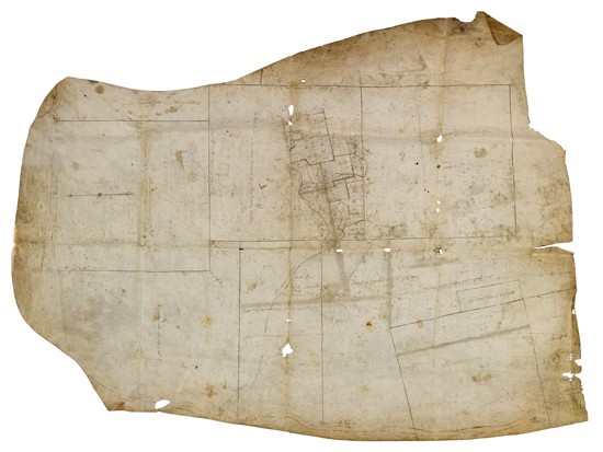
(NEW HAMPSHIRE.) Manuscript plat map of New Boston township and environs. 920x690 mm, on a primitive piece of parchment, unevenly cut; heavily creased, some soiling, several holes--most of them intrinsic to the parchment. New Hampshire, [1740s?]

Additional Details

This township west of Manchester was first laid out in 1736 as a grant to veterans of the 1690 expedition to Canada, and gradually became known as "New Boston" by 1751. This map shows the numbered house lots north of the Piscataquog River, along with minister and school lots, the marked trees described in the original survey, and several neighboring "Canada townships" that had not been laid out. Neighboring Bedford is still "Narragansit Township No. 5," placing the date before 1750. Reference: Cogswell, History of New Boston, 61-64.