May 29 at 12:00 PM - Sale 2706 -

Sale 2706 - Lot 157

Estimate: $ 2,500 - $ 3,500
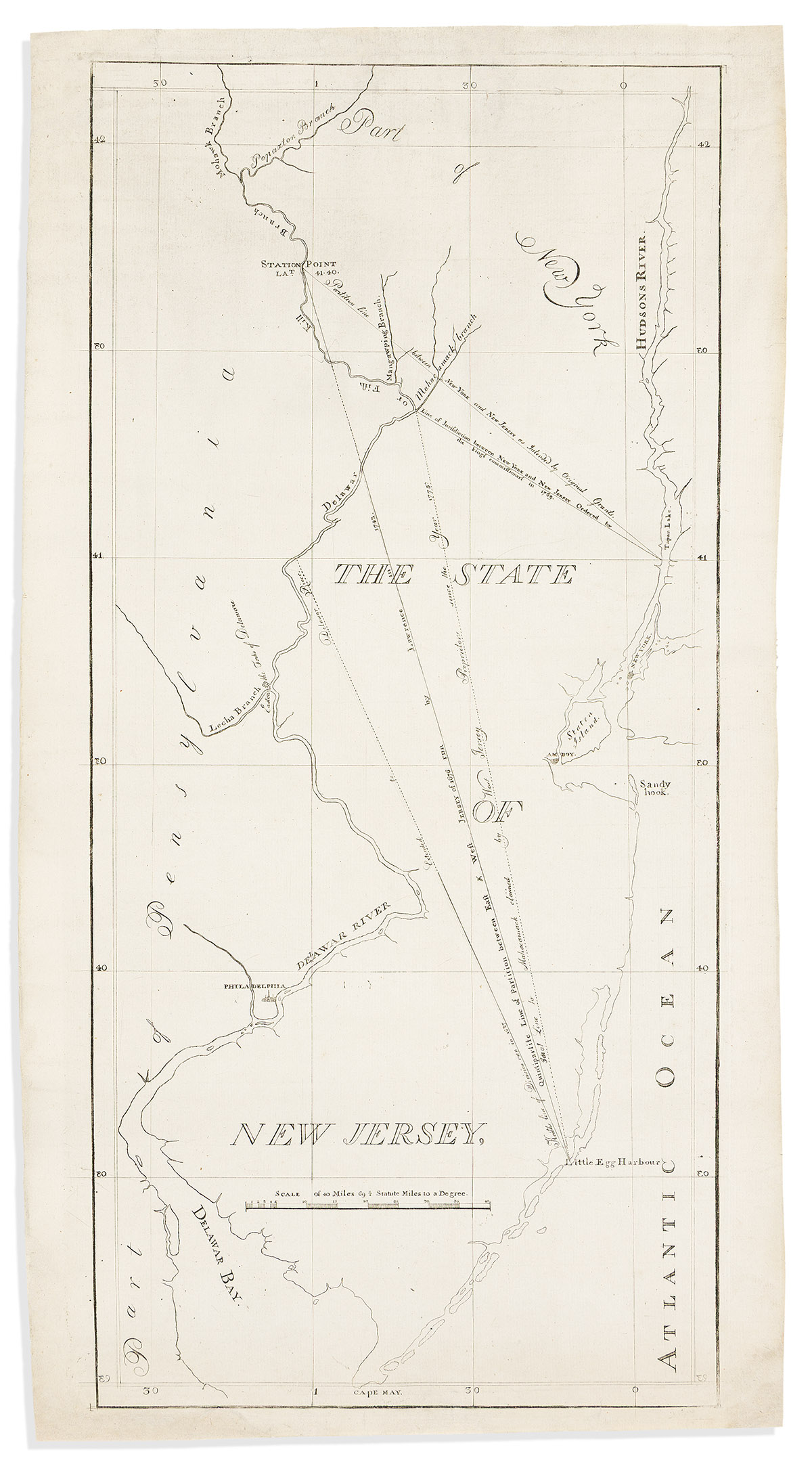
(NEW JERSEY.) Shepard Kollock, publisher. The State of New Jersey. Engraved eighteenth-century map of New Jersey and surrounding areas including several political and property boundary lines which were the subject of major contemporary dispute. "I Taylor" watermarked laid paper, 23¾x12¾ inches sheet size, wide margins; small areas of the corners and blank sheet edges expertly repaired. New York, 1784 or 1785

Additional Details

Originally engraved to accompany a scarce pamphlet titled "The Petitions and Memorials of the Proprietors of West and East-Jersey, to the Legislature of New-Jersey" which outlined and argued the contested areas, the present diagram is considered to be the first separate map of New Jersey printed in America.