Jun 07, 2018 - Sale 2481

Sale 2481 - Lot 155

Unsold
Estimate: $ 600 - $ 900
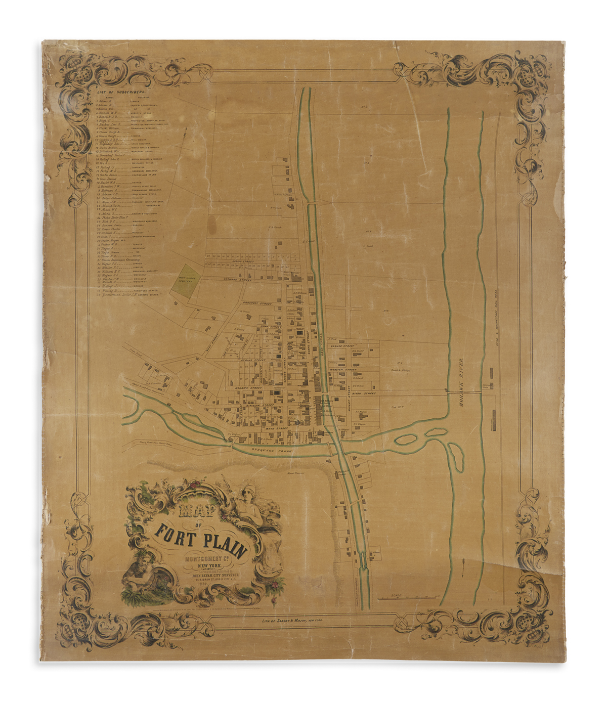
(NEW YORK.) Bevan, John, City Surveyor. Map of Fort Plain Montgomery Co., New York. Hand-colored lithographed map within a decorative border. 32x26 3/4 inches; original linen backing, yellowed varnish, soft creasing, left and right edges with frayed stitch marks of perished selvage, upper and lower edges trimmed clean. Jersey City, NJ, 1852

Additional Details

Fine early cadastral map of the village of Fort Plain, founded at the intersection of the Mohawk River and Otsquago Creek. The layout is bisected by the Erie Canal, an important mark of the village's economic and community growth. The numbered key at top left identifies a list of "subscribers" i.e., local merchants, lawyers and other businesses. This separately published map predates any county-wide wall maps we have been able to source, recording some of the earliest original property owners of the village. OCLC locates a single example of the map at the New York State Library, Albany.