Dec 08, 2022 - Sale 2624

Sale 2624 - Lot 95

Unsold
Estimate: $ 800 - $ 1,200
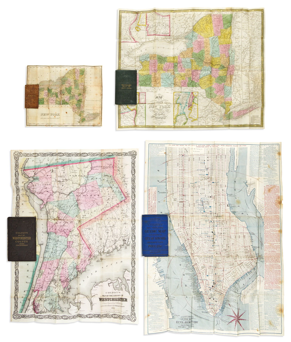
(NEW YORK.) Group of 4 attractive nineteenth-century pocket maps. Vp, vd

Additional Details

- D.A. Edsall & Co. Citizens & Travelers Guide Map In, To, and From the City of New York and Adjacent Places. Color-printed lithograph of Manhattan below 63rd street with informational border panels. 26 1/2x19 3/4 inches overall, folding into publisher's 12mo format black-lettered blue cloth case; scattered staining. New York, 1877.

- G.W. & C.B. Colton. Colton's Map of the County of Westchester. Lithograph with fine original hand-color. 24x18 inches overall, wide margins, folding into publisher's 12mo format gilt-lettered cloth case; spine reinforced at inner hinge, map with minor separations at a few fold intersections, scattered pencil annotations. New York, 1867.

- Samuel Augustus Mitchell. Map of the State of New York Compiled from the Latest Authorities. Engraving with fine original hand-color, insets of Niagara Falls, Rochester, Albany, New York City, and the Hudson River. 17x21 inches overall, wide margins, folding into publisher's 12mo format gilt-lettered cloth case; all very fine. Philadelphia, 1868.

- Anthony Finley. New York. Miniature engraving by James Hamilton Young with original hand-color. 8 3/4x11 inches overall, folding into publisher's 16mo format gilt-lettered roan case with advertisement label pastedown; covers lightly worn, map with small loss along fold at center. Philadelphia, 1826.