Jun 07, 2017 - Sale 2450

Sale 2450 - Lot 152

Price Realized: $ 875
?Final Price Realized includes Buyer’s Premium added to Hammer Price
Estimate: $ 1,000 - $ 1,500
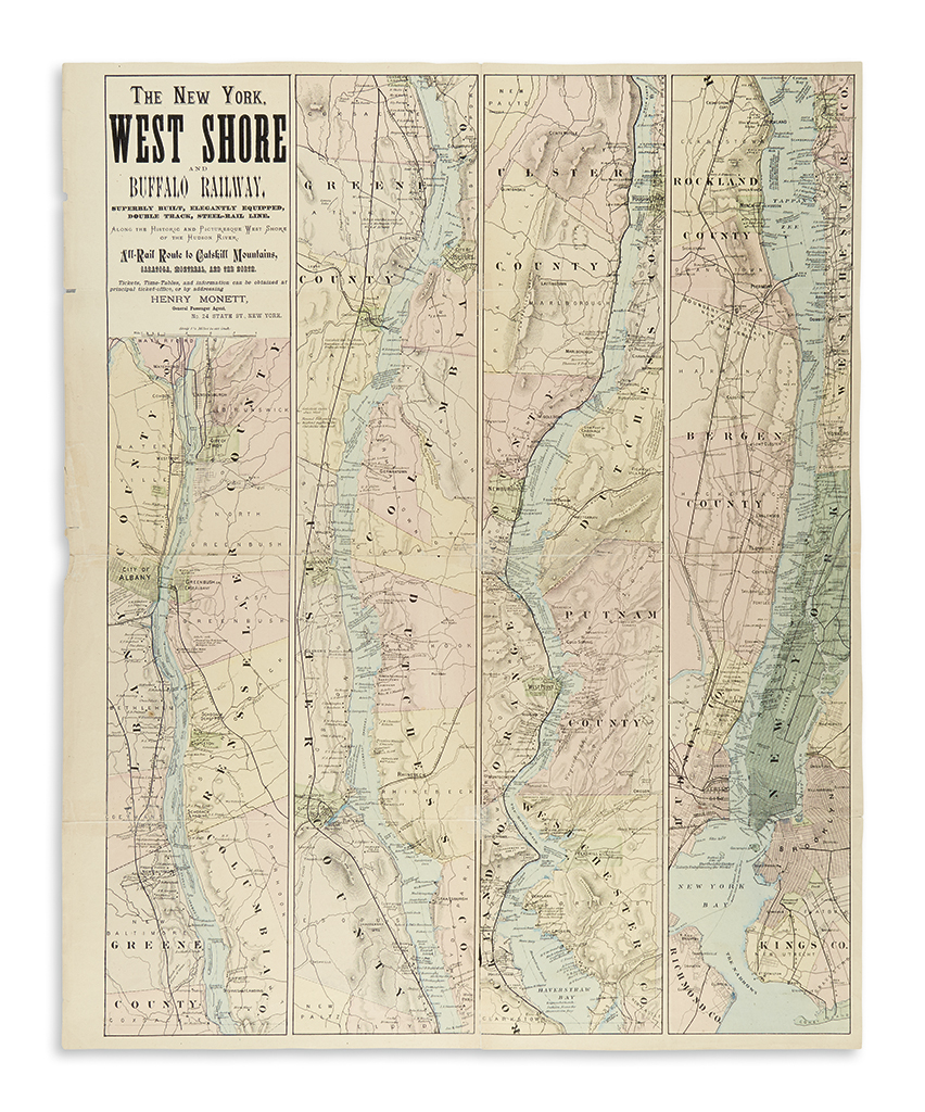
(NEW YORK -- RAILROADS.) The New York, West Shore and Buffalo Railway. Hand-colored folding lithographed map in four strip sections. 27 3/4x23 1/4 inches sheet size; several folds split and repaired with archival film tape, small chips at left margin. [New York, circa 1885]

Additional Details

An attractive broadside map of the Hudson River from New York City to Albany advertising the New York, West Shore and Buffalo Railway, which was a short-lived enterprise motivated to compete with the New York Central and Hudson River Railroad. "Superbly built, elegantly equipped, double track, steel-rail line along the historic and picturesque West Shore of the Hudson River," the N.Y. W.S. & B. provided an alternative deluxe rail transport to the resorts of the Catskills and the north while also serving the markets on the west side of the river which were still serviced only by ferries and steamboats. Seen as an agitation to the business of the New York Central, the West Shore was effectively priced out while battling over fare rates and in only a few short years went bankrupt, eventually incorporating into its larger competitor's holdings. The map delineates the West Shore's track along the Hudson from Weehawken to Albany, where it would branch off to the west en route to Buffalo. The map is nicely detailed and wonderfully enhanced with many anecdotes along the way: "Schoti-ack, place of the ever burning council fire of the Mohegan tribe", "From this point in the river we get the best view of the Man in the Mt.", "Treason Hill where Arnold met Andre at the house of Joshua Hett Smith" and many others relating to Henry Hudson, Indian nomenclature and sights along the way. Apparently quite rare, with no examples in located in OCLC or market records.