Jun 07, 2018 - Sale 2481

Sale 2481 - Lot 157

Price Realized: $ 688
?Final Price Realized includes Buyer’s Premium added to Hammer Price
Estimate: $ 400 - $ 600
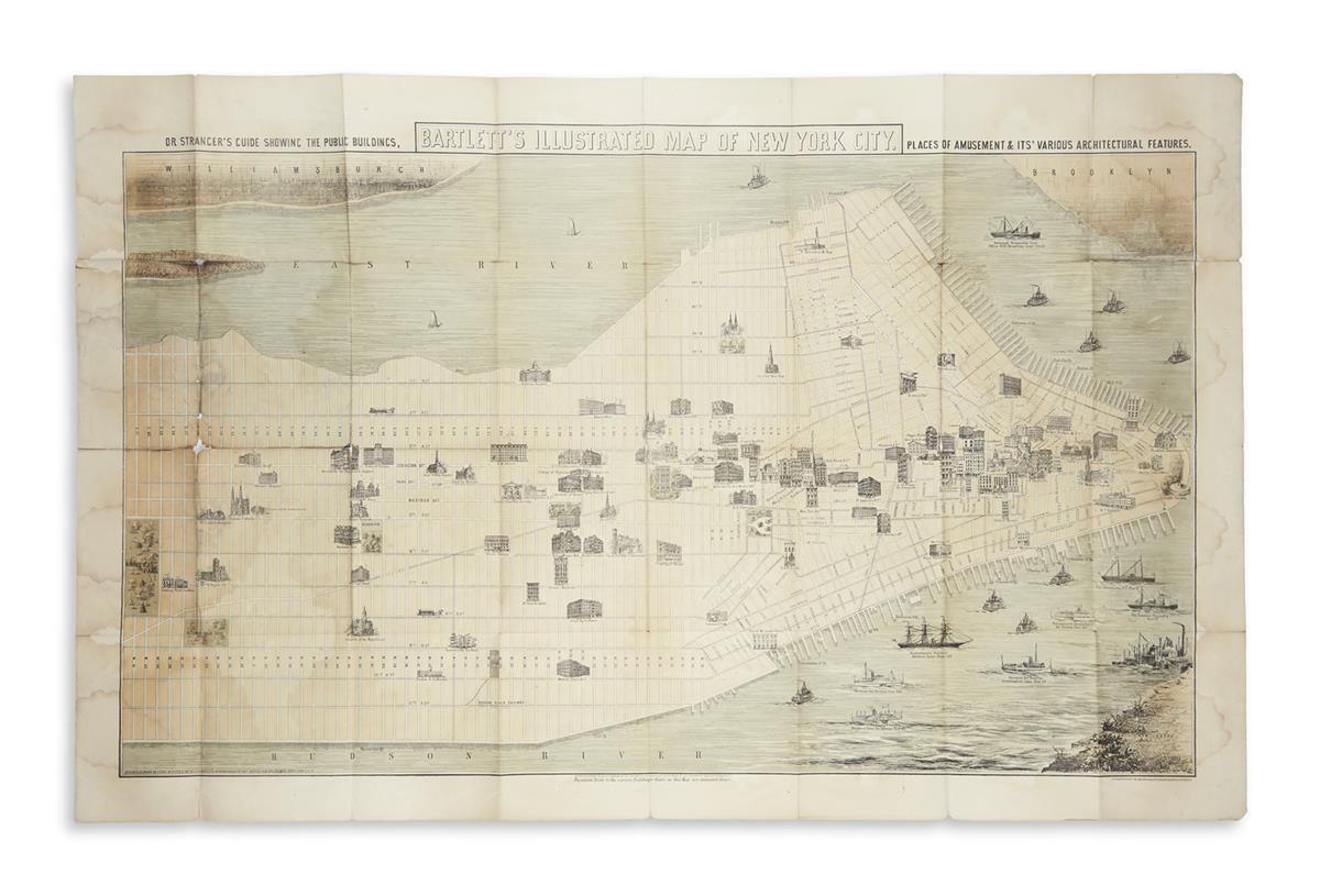
(NEW YORK CITY.) Bartlett, G.H. Bartlett's Illustrated Map of New York City. Or Stranger's Guide Showing the Public Buildings, Places of Amusement & its Various Architectural Features. Tinted lithographed folding map. 24x37 1/2 inches sheet size, wide margins; staining with several separations along fold lines. New York, 1870

Additional Details

Large folding map of Manhattan from 62nd street to the Battery showing approximately 100 pictorially rendered landmark buildings, parks and harbor steamers. Scarce with only a handful of institutional copies located; last offerings on the market were at auction in 1918 (Anderson) and an example from a 2007 dealer's catalog. Phillips 537.