Dec 08, 2016 - Sale 2434

Sale 2434 - Lot 161

Price Realized: $ 3,250
?Final Price Realized includes Buyer’s Premium added to Hammer Price
Estimate: $ 1,000 - $ 1,500
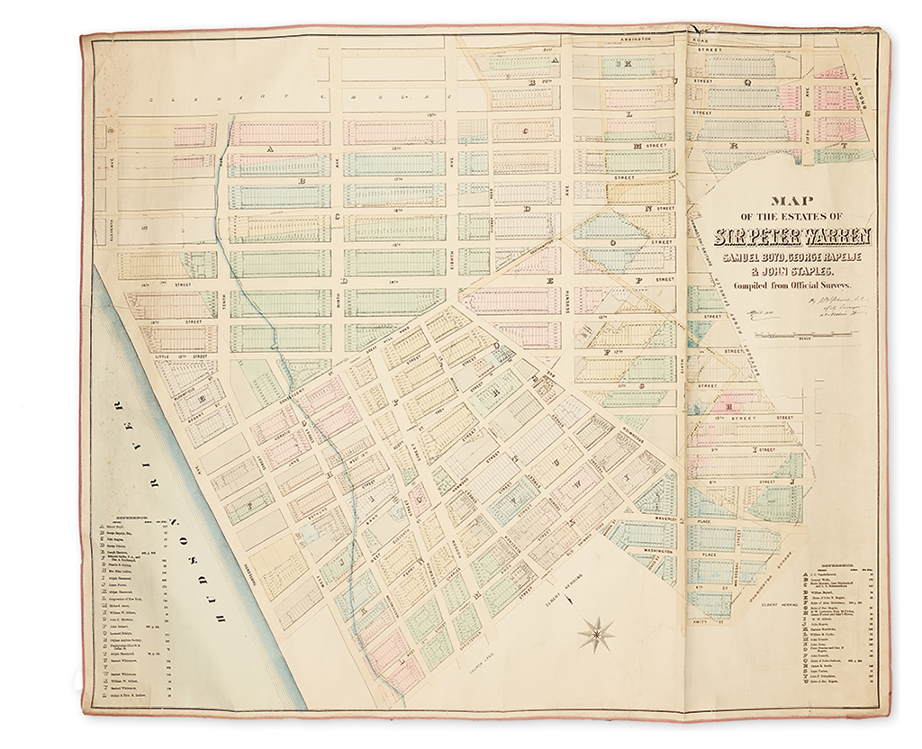
(NEW YORK CITY.) Holmes, John Bute. Map of the Estates of Sir Peter Warren, Samuel Boyd, George Rapelje & John Staples, Compiled from Official Surveys. Large format hand-colored lithographed plat map backed on original linen with silk edging as issued. 35 1/2x42 1/2 inches sheet size; scant foxing along left edge, soft creases, one hard crease running vertically, minor chipping to the upper left edge. New York, April 1881

Additional Details

Rare cadastral map of Manhattan offering impressive detail of the present-day areas of Greenwich Village, West Village, Meatpacking District and lower Chelsea bounded by Christopher and 21st Streets, the Hudson River and Sixth Avenue. An accomplished British naval officer, Sir Peter Warren purchased this tract of nearly 300 acres circa 1740 and built a magnificent mansion overlooking the Hudson River. Of course, his family did not reside there forever, and the present map records the feverish rate at which Manhattan real estate was sold and developed in the nineteenth century, from one man's country house to the complex urban grid we see here. Surveyor and publisher Holmes's interest was in the duality between New York as it was in colonial times versus how it evolved into the civic matrix he knew in the late 1800's. One of the largest of his maps we have seen, the present example is typical in style, showing a blue path carving up the left edge of the land representing the original shoreline of the Hudson River and two tables of references to the many landowners of the day.