?Final Price Realized includes Buyer’s Premium added to Hammer Price
Estimate: $ 2,500 - $ 3,500
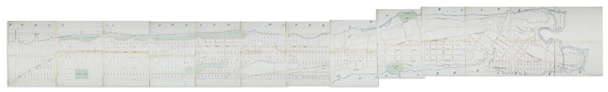
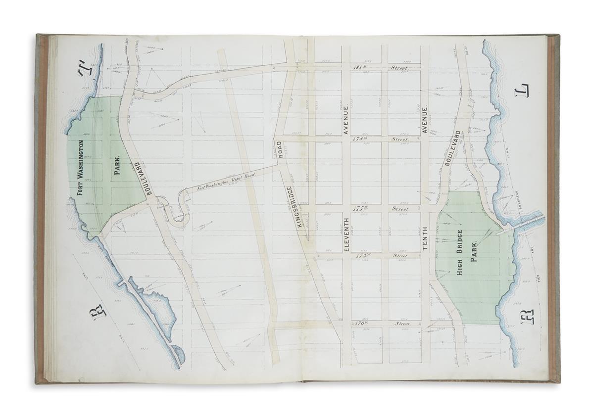
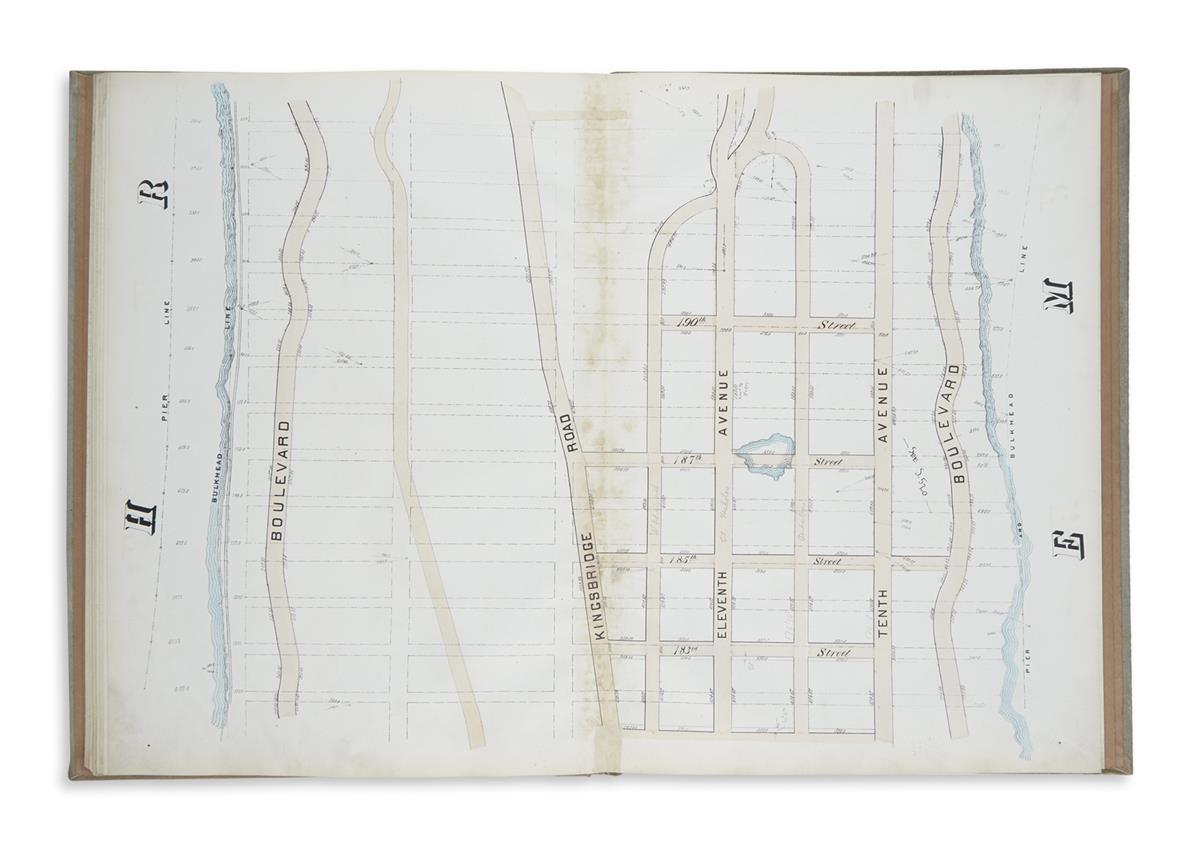
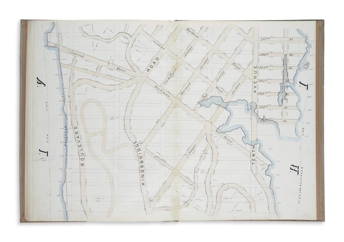
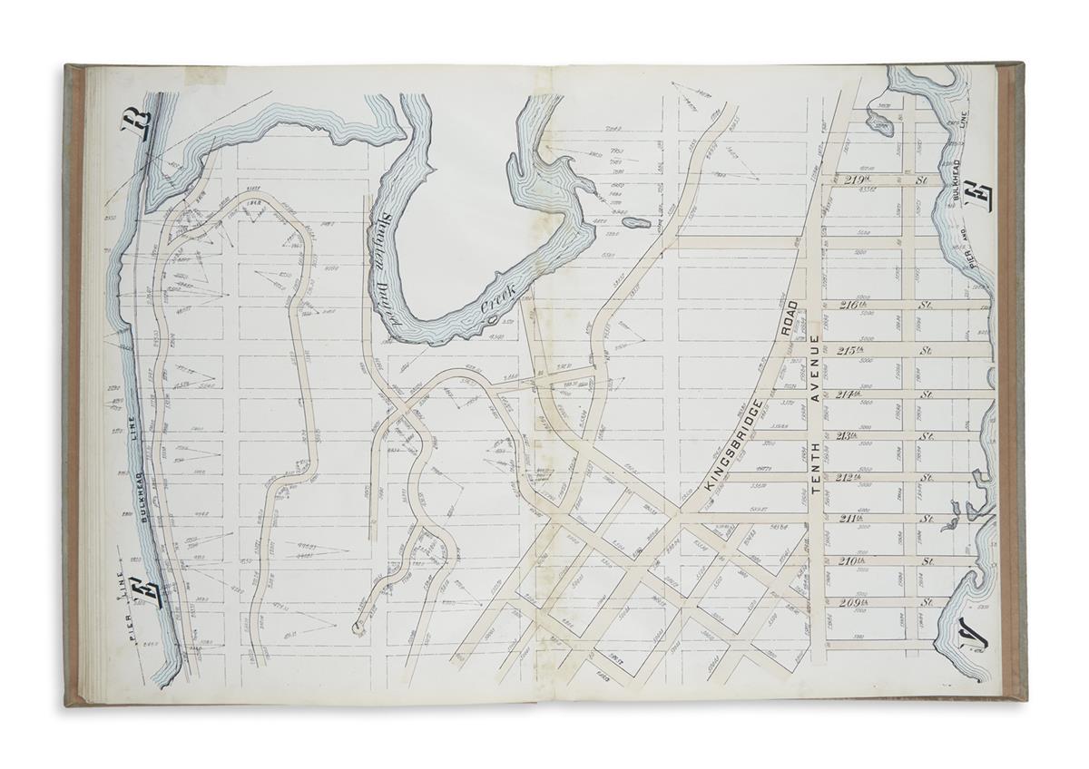
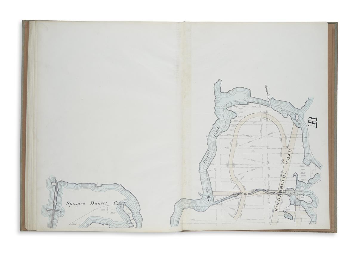
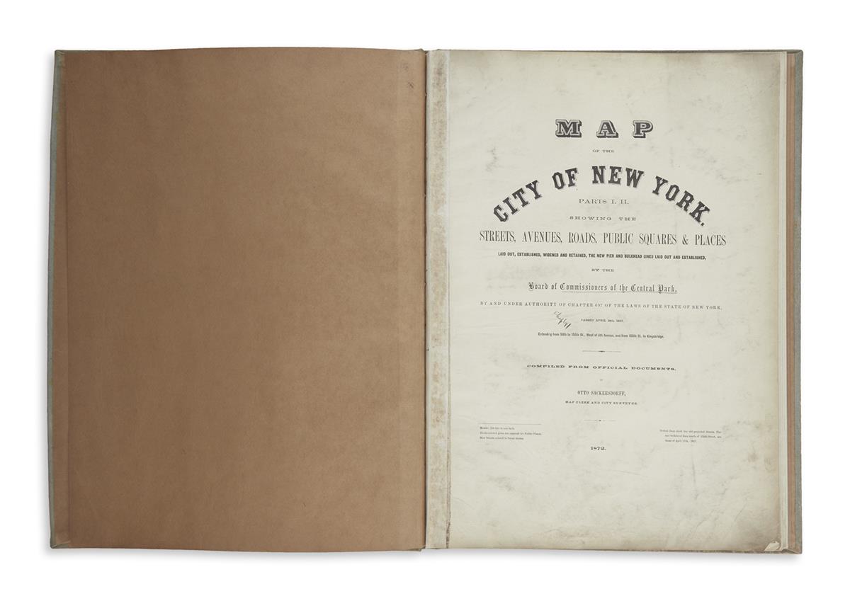
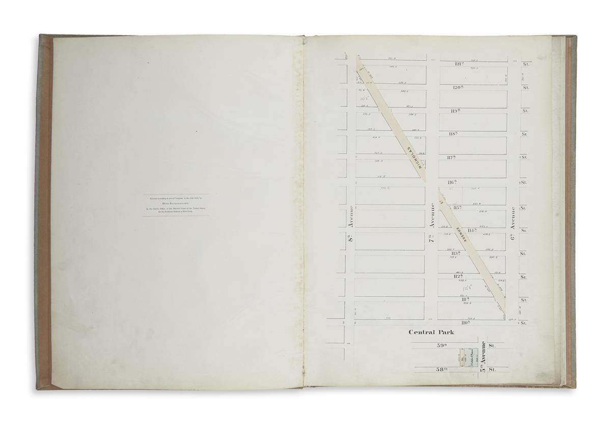
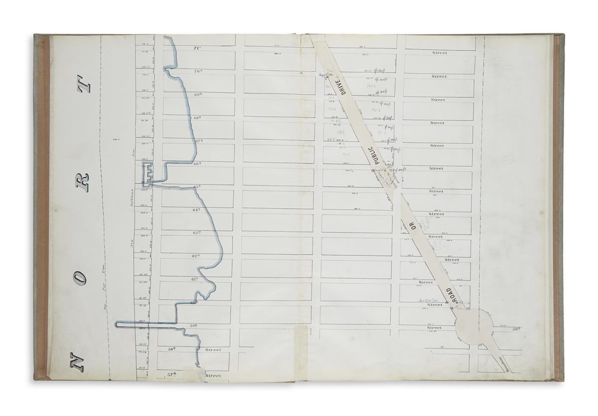
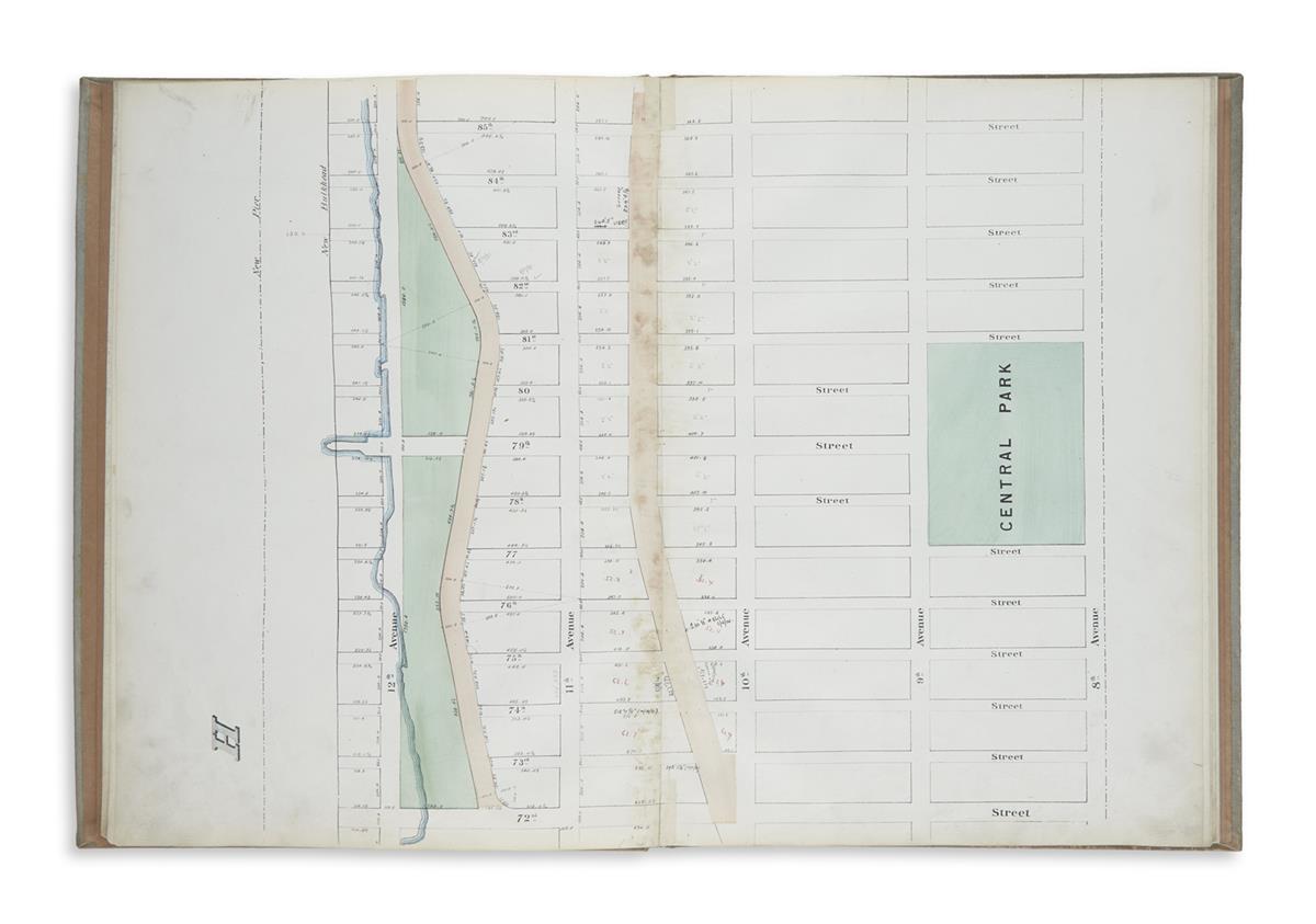
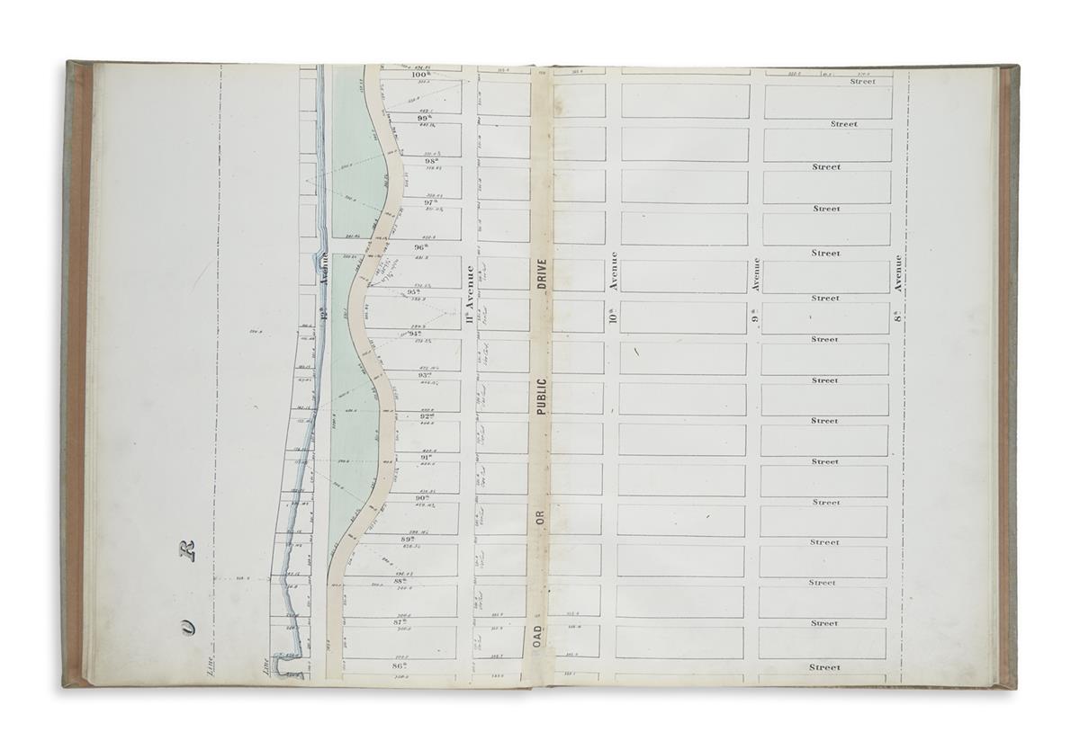
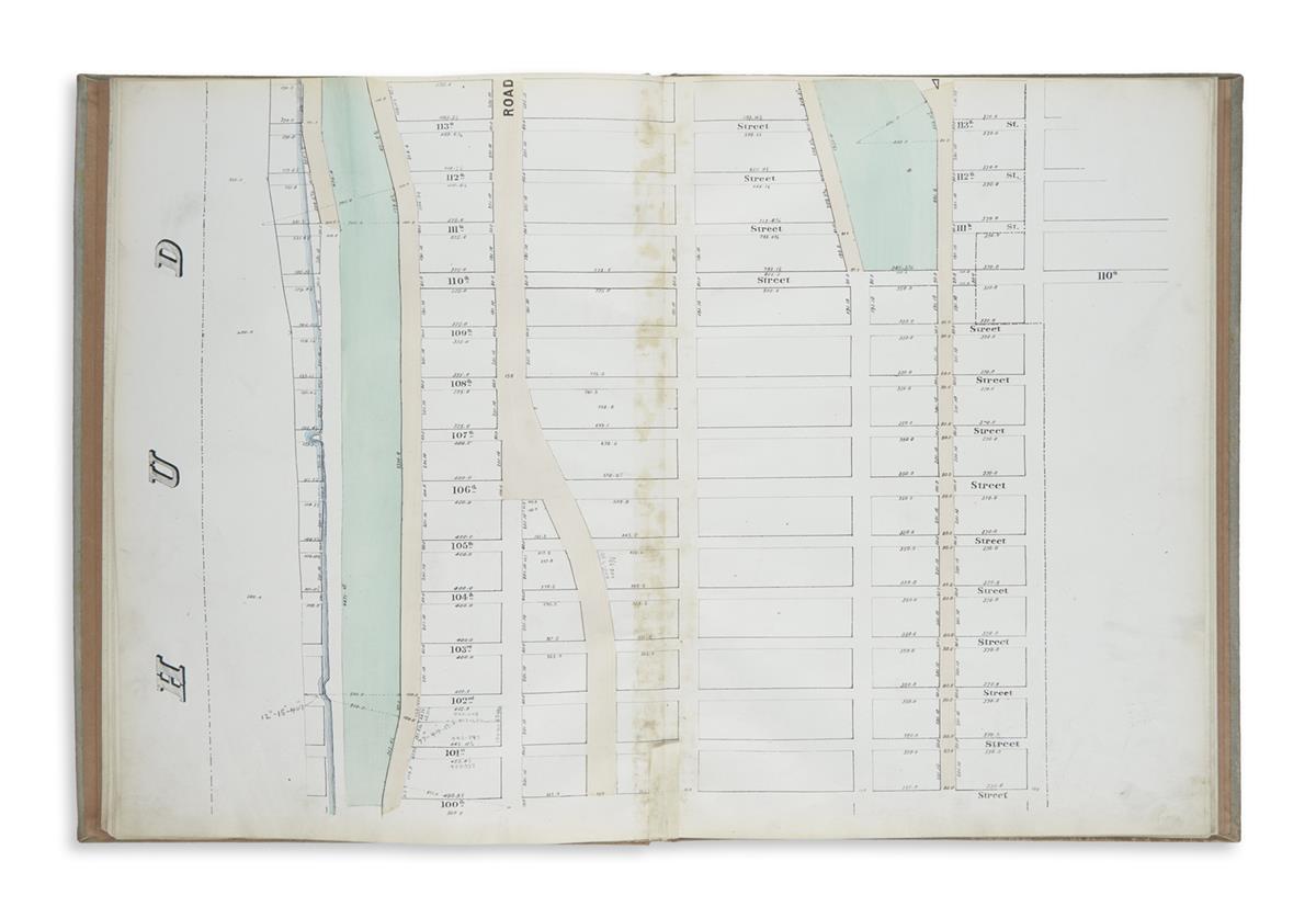
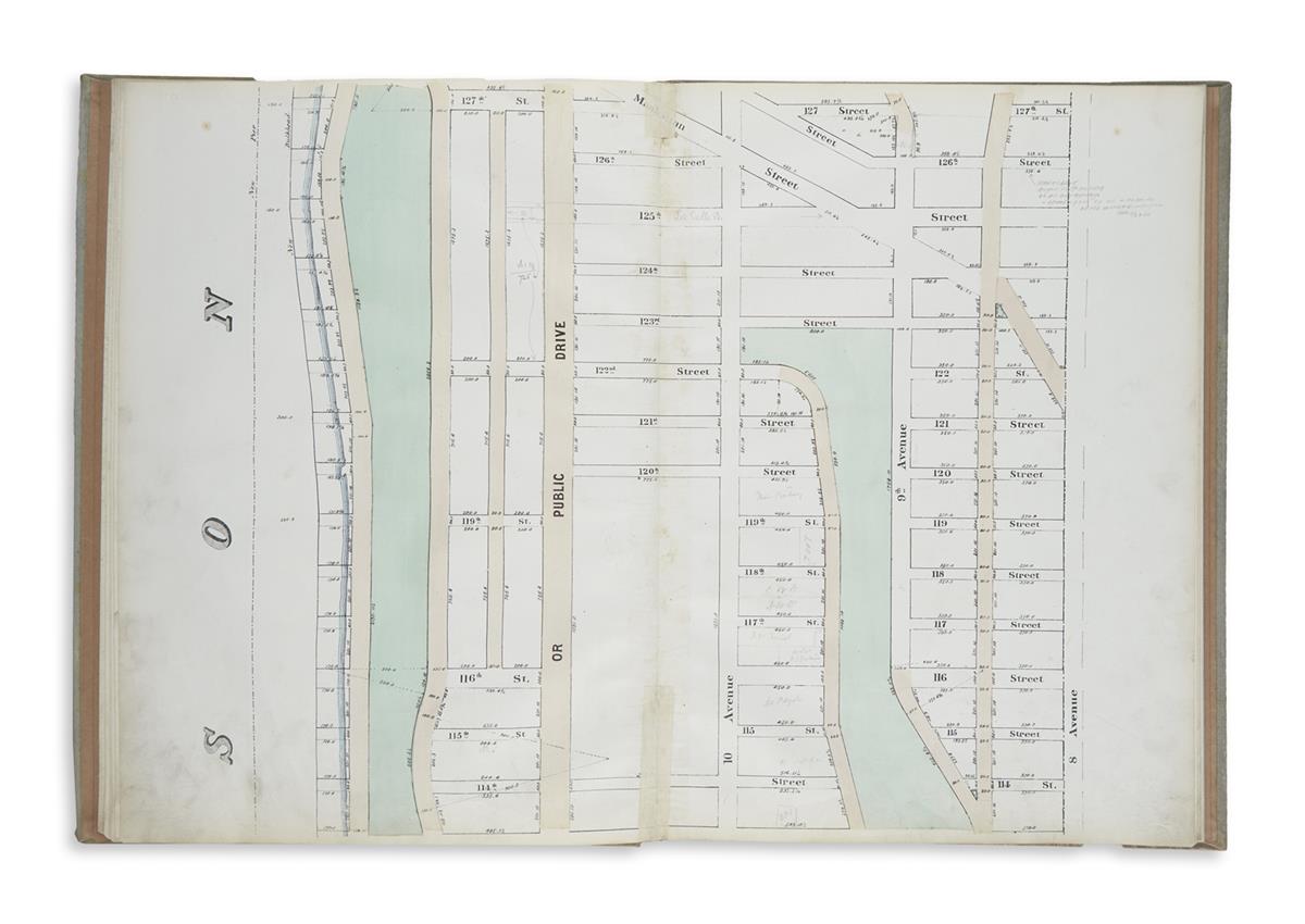
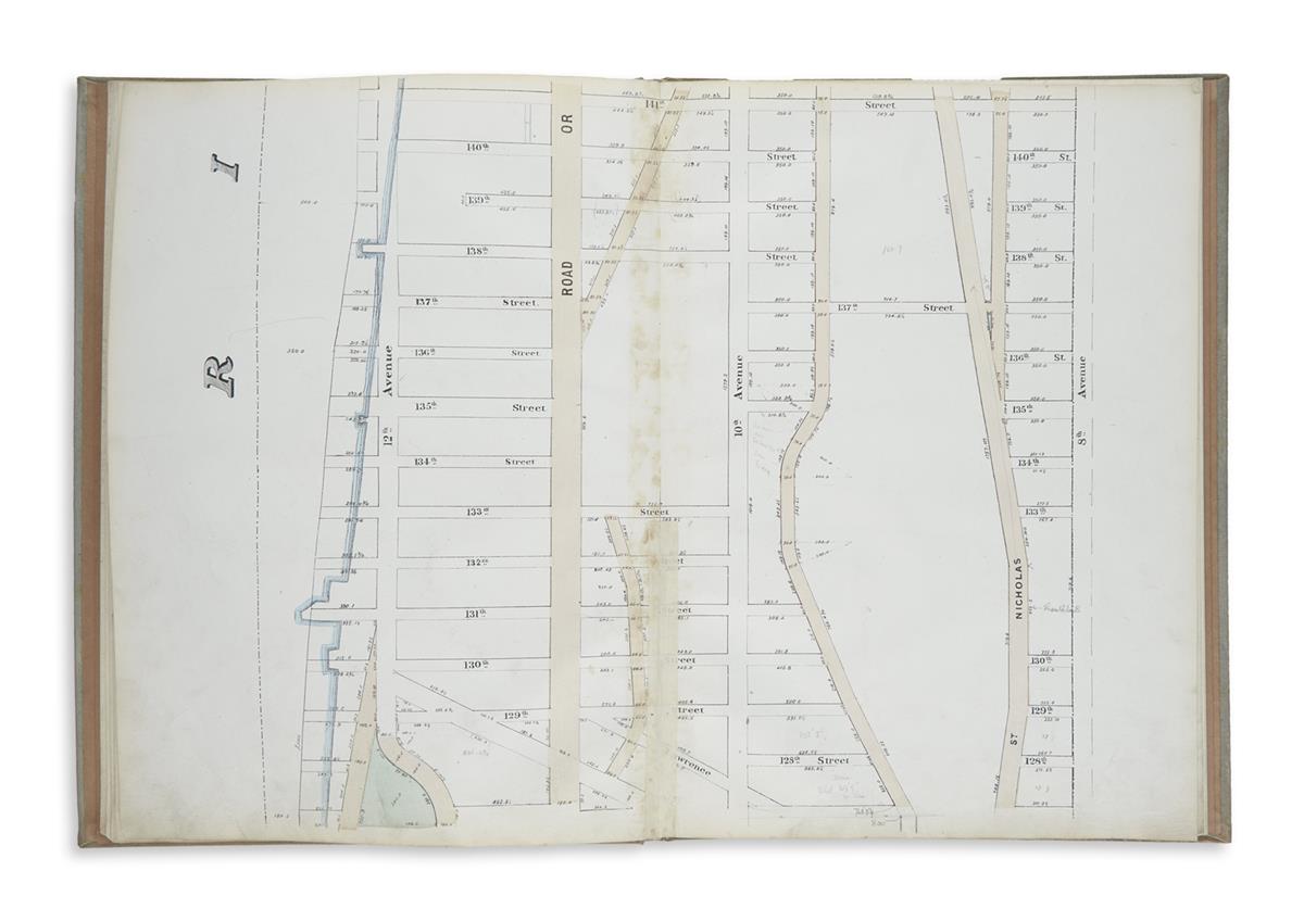
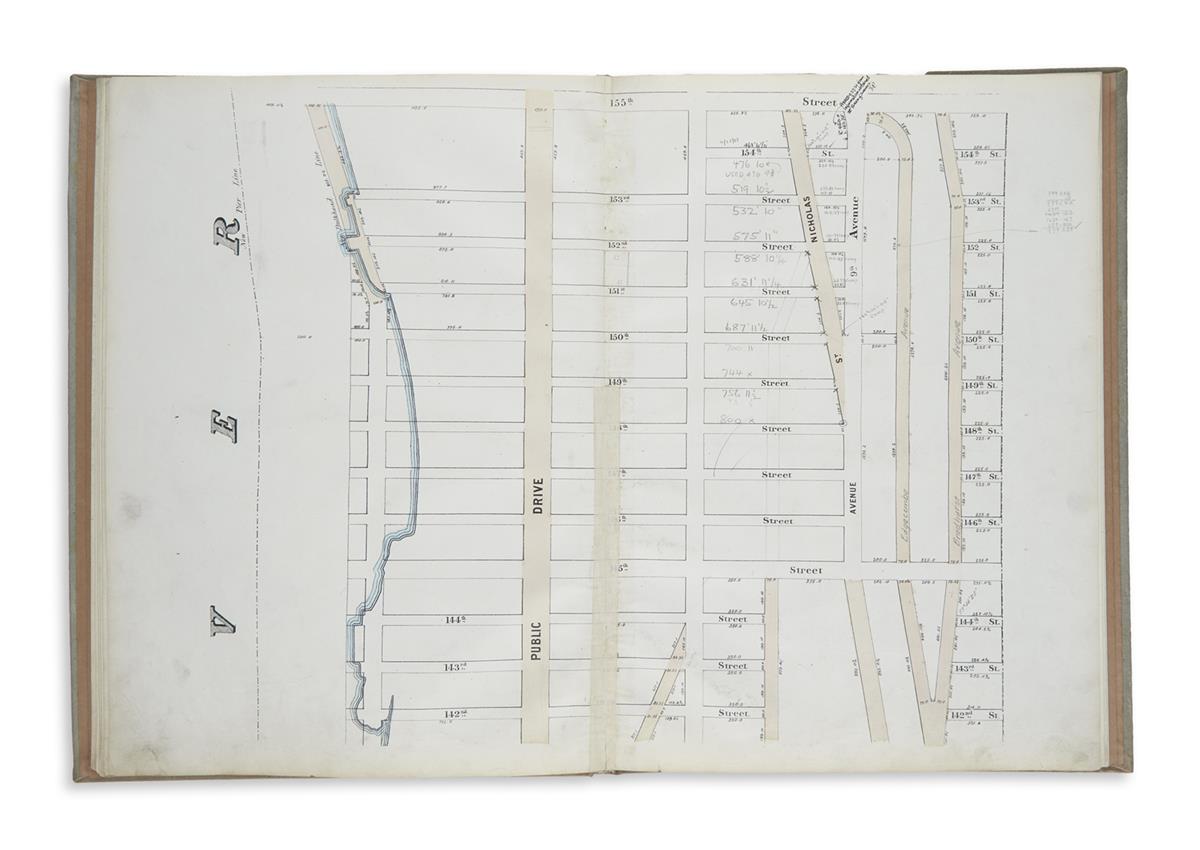
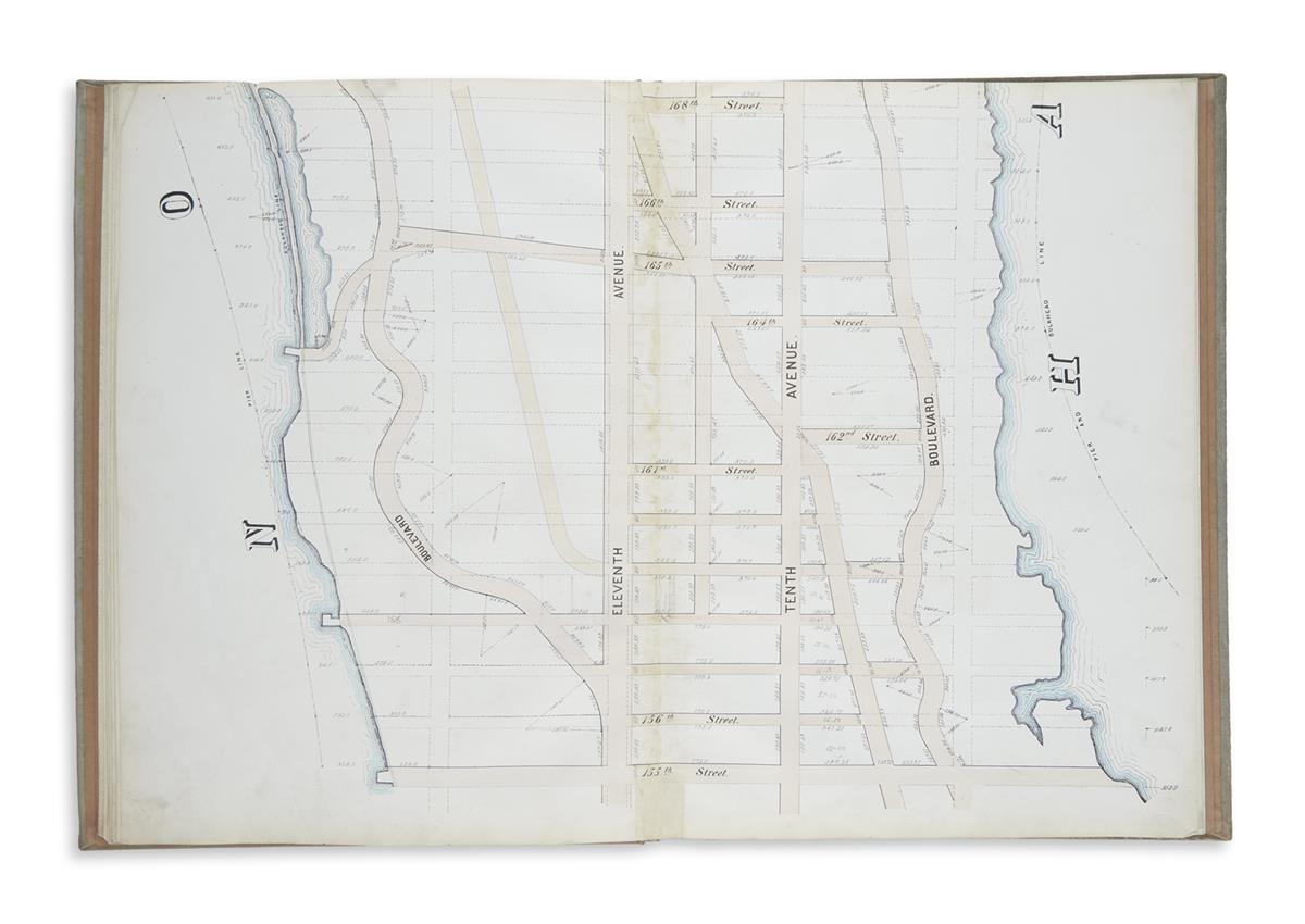
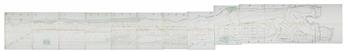
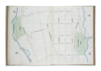
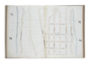
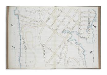
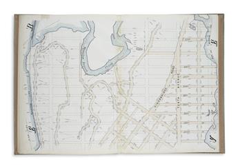
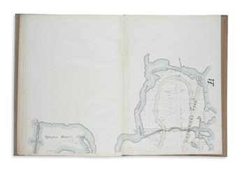
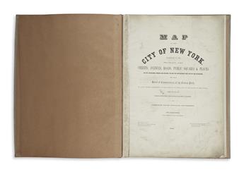
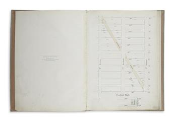
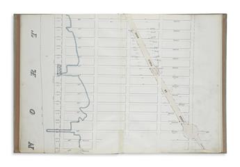
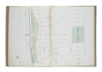
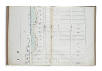
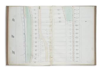
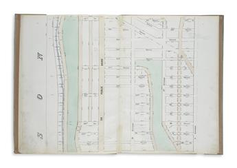
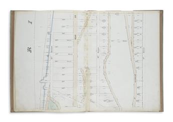
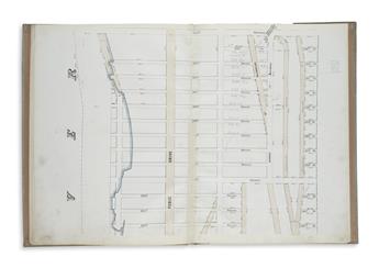
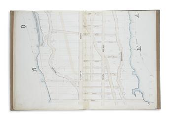
(NEW YORK CITY.) Sackersdorff, Otto. Map of the City of New York.Parts I. II. Showing the Streets, Avenues, Roads, Public Squares & Places Laid Out, Established, Widened and Retained, the New Pier and Bulkhead Lines Laid Out and Established, by the Board of Commissioners of the Central Park. Lithographed title-page, 1 full page and 13 double-page hand-colored lithographed mapsheets. Folio, 19 1/2x14 1/2 inches, modern cloth, boards slightly warped; maps on linen guards with light adhesive discoloration to vertical center folds, marginal finger soiling, official annotations in ink and pencil. New York, 1868-1872
Compiled by longtime New York City Department of Public Works map clerk Otto Sackersdorff, the detailed real estate maps, if joined, would form a 20 foot long contiguous strip of Manhattan west of 8th Avenue from Columbus Circle to its upper reaches at Spuyten Duyvil. OCLC locates just two copies. Haskell, Manhattan Maps A Co-Operative List, 1198.