May 26, 2016 - Sale 2417

Sale 2417 - Lot 101

Price Realized: $ 3,500
?Final Price Realized includes Buyer’s Premium added to Hammer Price
Estimate: $ 1,000 - $ 1,500
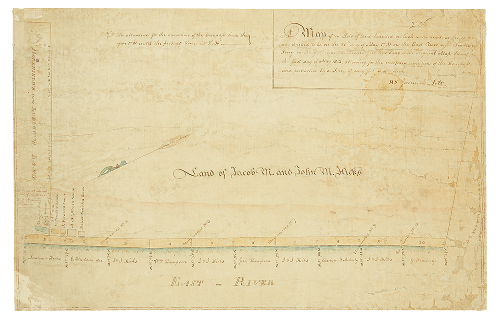
(NEW YORK CITY--BROOKLYN.) Lott, Jeremiah. A Map of ten Lots of land bounded on high water mark. . . on the East River. Important watercolor and ink manuscript map of a portion of the Village of Brooklyn. 13 1/4x21 inches sheet size; laid on old linen, areas of loss at the edges, somewhat toned and faded. should be seen. sold as is. Brooklyn, 1813

Additional Details

The genesis of the first official map of Brooklyn. This manuscript map was prepared by Jeremiah Lott as part of an early commission to survey the land that would later become the Village of Brooklyn, and today Brooklyn Heights. It was completed two years before his important "First Village Map" of 1816. The map depicts what was, at the time, the barely-inhabited southern portion of the village, bounded roughly by present day Poplar Street, Hicks Street, Clark Street, and the East River. Today the area is split between Brooklyn Bridge Park and a large portion of historic Brooklyn Heights, at the time of this survey it apparently had only six houses.