Dec 09, 2021 - Sale 2591

Sale 2591 - Lot 159

Price Realized: $ 688
?Final Price Realized includes Buyer’s Premium added to Hammer Price
Estimate: $ 1,000 - $ 1,500
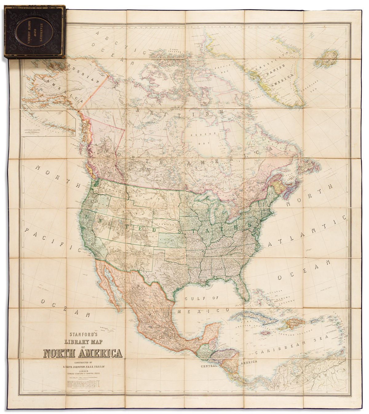
(NORTH AMERICA.) Alexander Keith Johnston; and Edward Stanford. Stanford's Library Map of North America. Large engraved case map of Civil War period North America. 68x61 inches overall, dissected into 48 segments and mounted to original linen with silk selvage and blue paper self-wrapper; fine original hand-color in full; lightly toned and offset, small crease at upper right margin but overall quite nice; folding into publisher's moderately-worn gilt and blind stamped morocco covers. London, 1863

Additional Details

Published during the height of the American Civil War and defining the Union and Confederate states with green and pink wash.

First edition with date-correct territorial border arrangements: West Virginia is not yet separate from Virginia, New Mexico and Arizona are within one wide expanse, there is no Montana Territory, Idaho Territory is without its northern portion but encompasses a large area to its east (later Wyoming) - great changes to these particular political divisions would occur the year this map was published or very shortly thereafter.