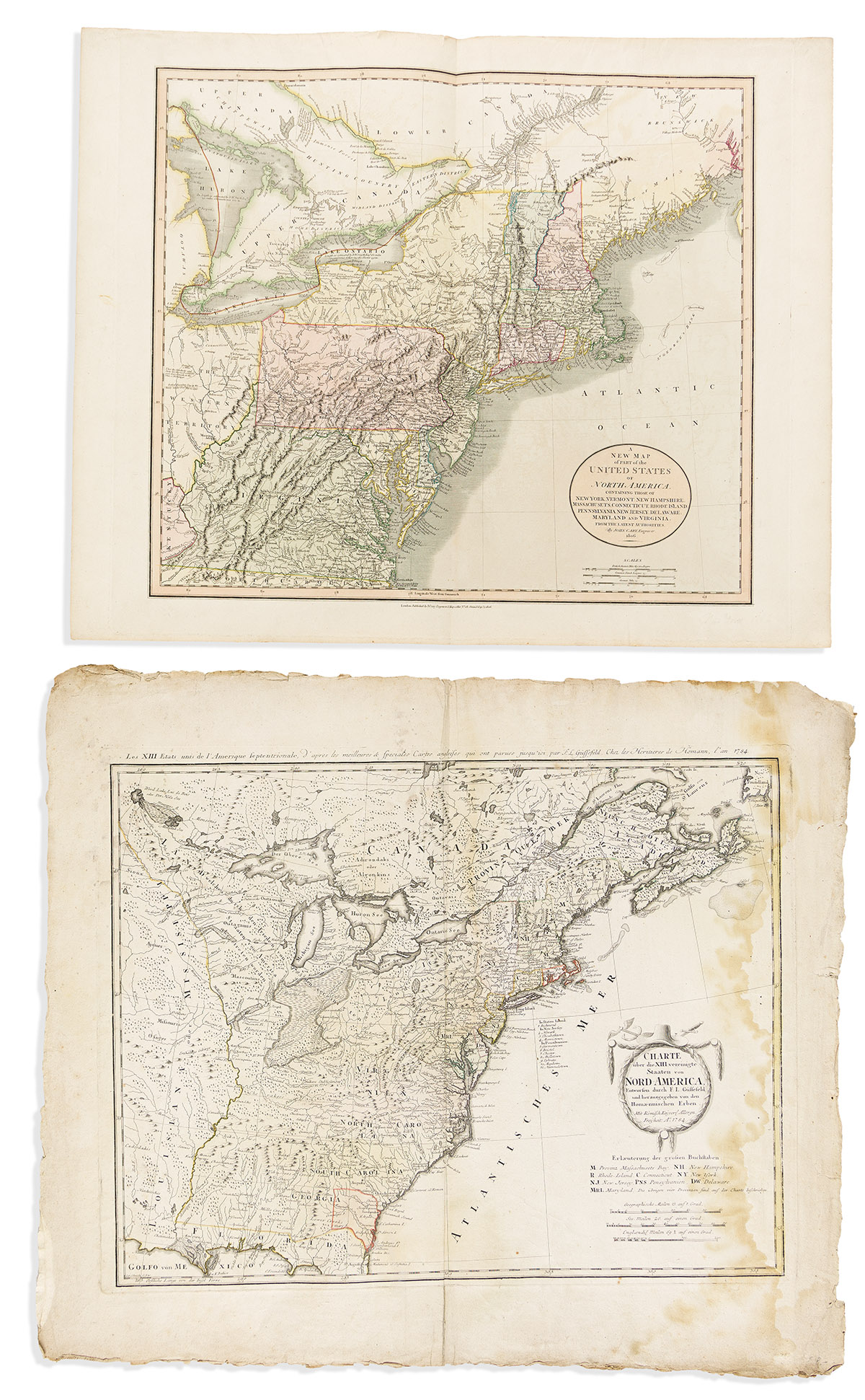
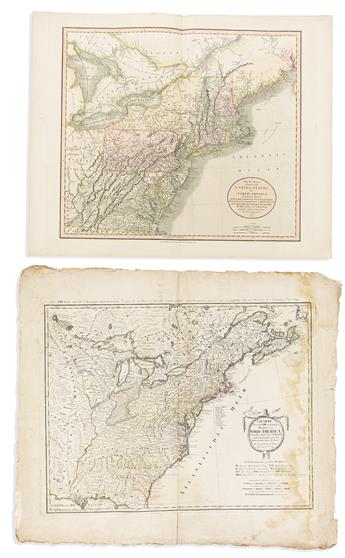
- Homann Heirs. Charte Uber die XIII Vereinigte Staaten von Nord-America, Entworfen Durch F.L. Gussefeld. Double-page engraved map of the independent American states. 23x27 inches sheet size, wide margins with untrimmed deckle edges; original hand-color; heavy dampstain. Nuremberg, 1784.
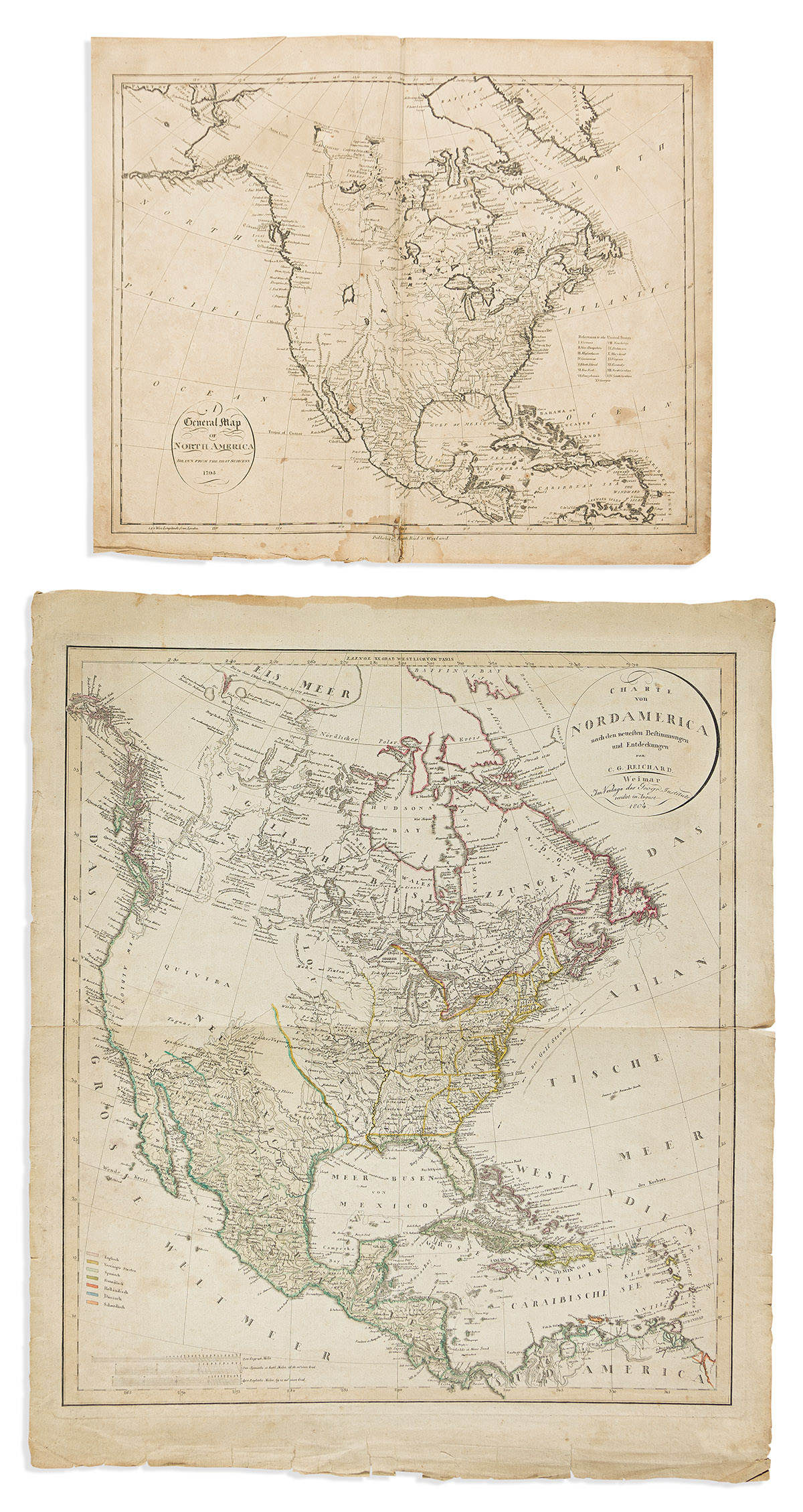
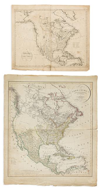
- John Reid. A General Map of North America Drawn From The Best Surveys. Double-page engraved map of North America. 16x19 inches sheet size, wide margins; age toned, repairs. New York, 1796.
- Christian Gottlieb Reichard. Charte von Nord America Nach den Neusten Bestimmungen und Entdeckungen. Double-page engraved map of North America prominently featuring the fleeting State of Franklin. 27x23 inches sheet size, wide margins with untrimmed deckle edges; original hand-color; age tone, small closed edge tears. Weimar, 1804.
- John Cary. A New Map of Part of the United States of North America, Containing Those of New York, Vermont, New Hampshire, Massachusets, Connecticut, Rhode Island, Pennsylvania, New Jersey, Delaware, Maryland and Virginia. Double-page engraved map of eastern North America. 20¾x25½ inches sheet size, wide margins; minor offset and edge wrinkle, else fine. London, 1806.