Jun 13, 2024 - Sale 2672

Sale 2672 - Lot 109

Price Realized: $ 1,188
?Final Price Realized includes Buyer’s Premium added to Hammer Price
Estimate: $ 700 - $ 1,000
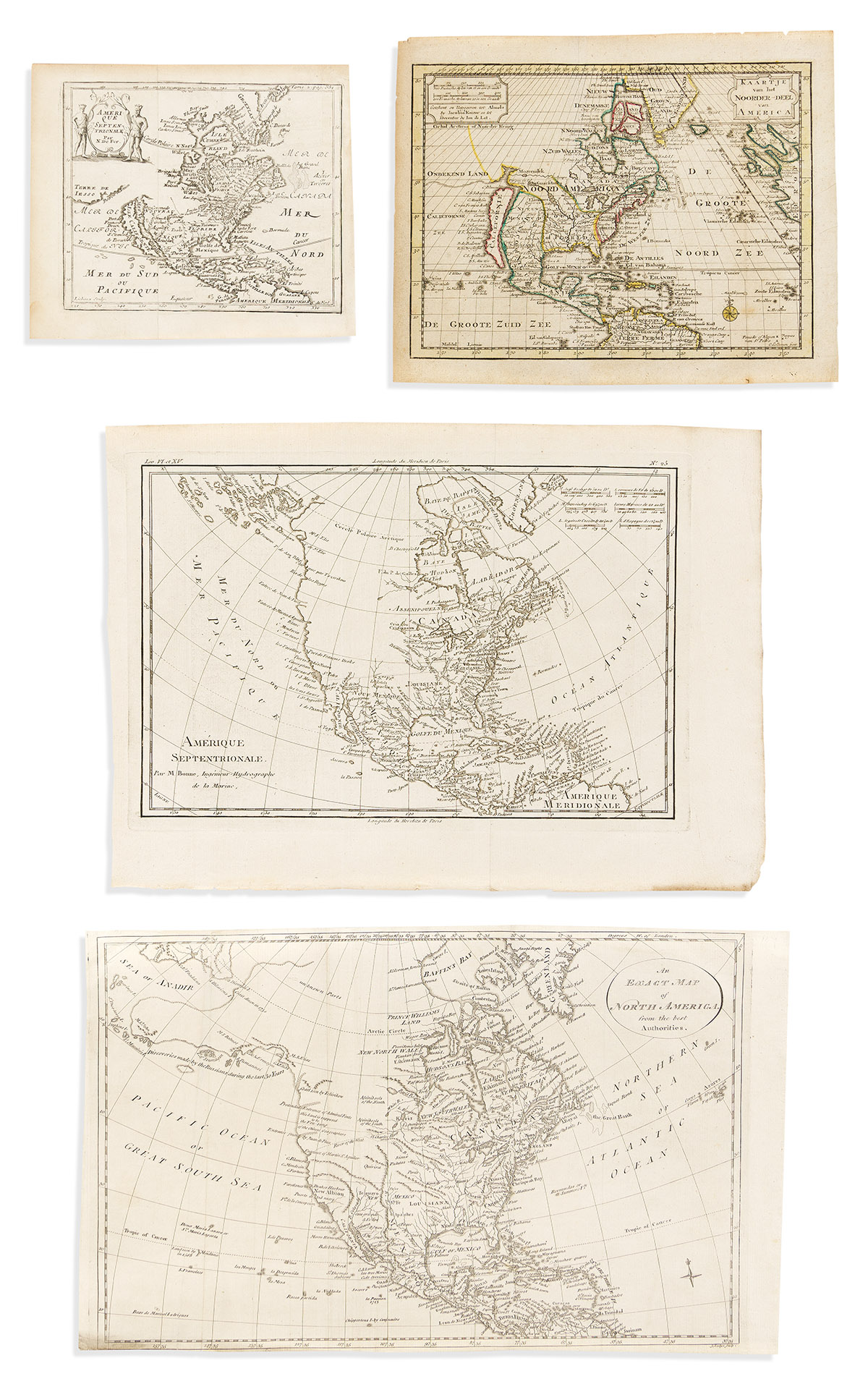
(NORTH AMERICA.) Group of 4 seventeenth-to-eighteenth-century engraved maps. Vp, vd

Additional Details

- Nicolas de Fer. Amerique Septentrionale. Engraved folding map with California as an island. 6½x7½ inches sheet size, wide margins; original folds, generally fine. Paris, circa 1689.

- Jan de Lat. Kaartje van het Noorder-Deel van America. Engraved folding map of North America showing California as an island. 8¼x10¼ inches sheet size, wide margins; original hand-color in outline; light age tone. Amsterdam, circa 1740s.

- John Lodge. An Exact Map of North America from the best Authorities. Engraved map of North America including a notation of Fou-Sang on the northwest coast, the supposed colony founded by ancient Chinese mariners. 10x16¼ inches sheet size, ample margins but lower edge shaved close; original folds flattened, else fine. London, circa 1770.

- Rigobert Bonne. Amerique Septentrionale. Engraved folding map of North America appearing quite sparse to the northwest. 11x15 inches sheet size, wide margins; no real flaws. Geneva, circa 1780.