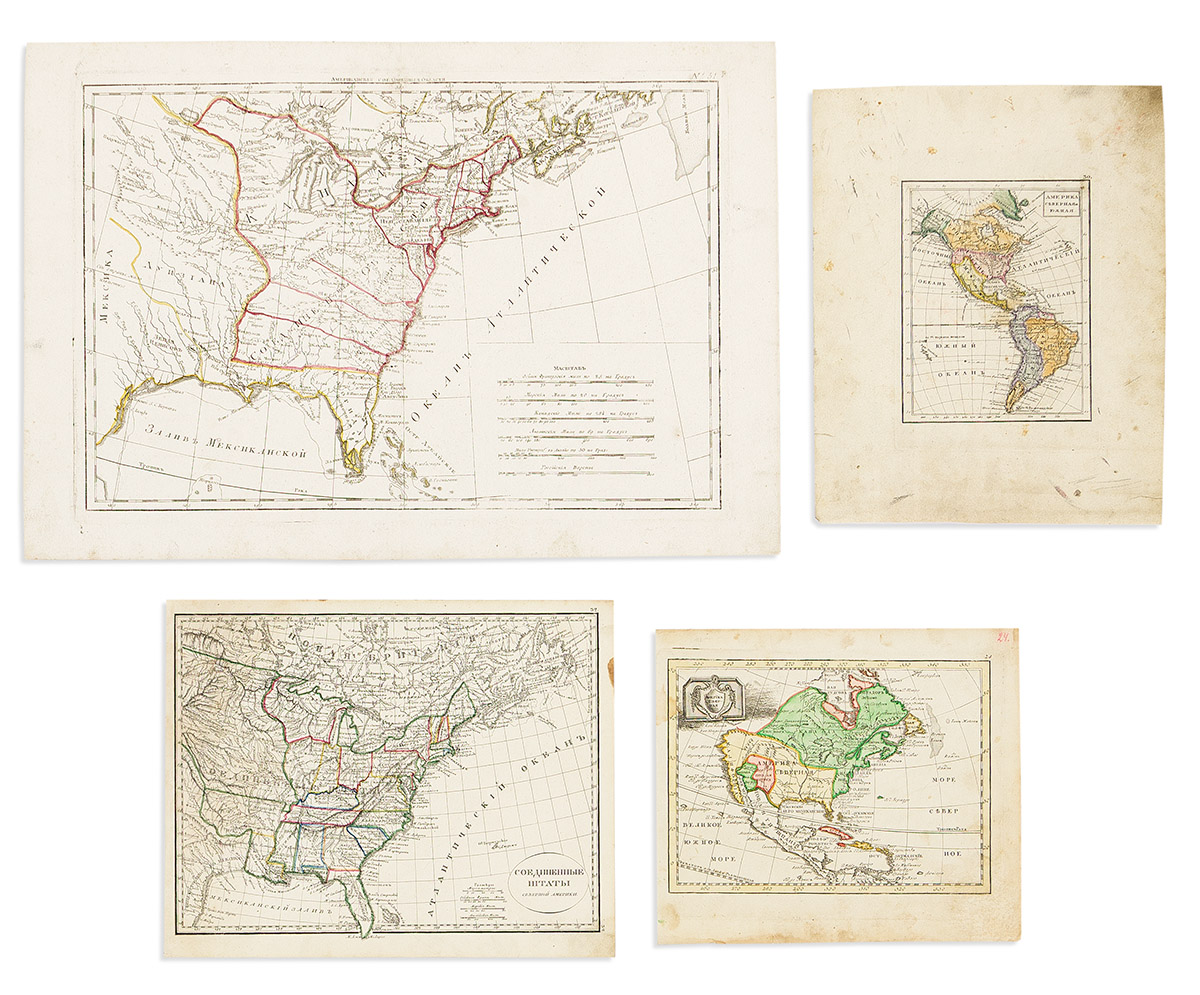
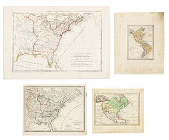
- America Severnaya. Small-scale engraved map of North America. 8½x9¾ inches sheet size, wide margins; old hand-color delineating political possessions; edge staining. Np, circa 1750.
- After Rigobert Bonne. Double-page engraved map of the eastern United States. 14x20¼ inches sheet size, wide margins; original hand-color in outline; minor wear. St. Petersburg?, circa 1790.
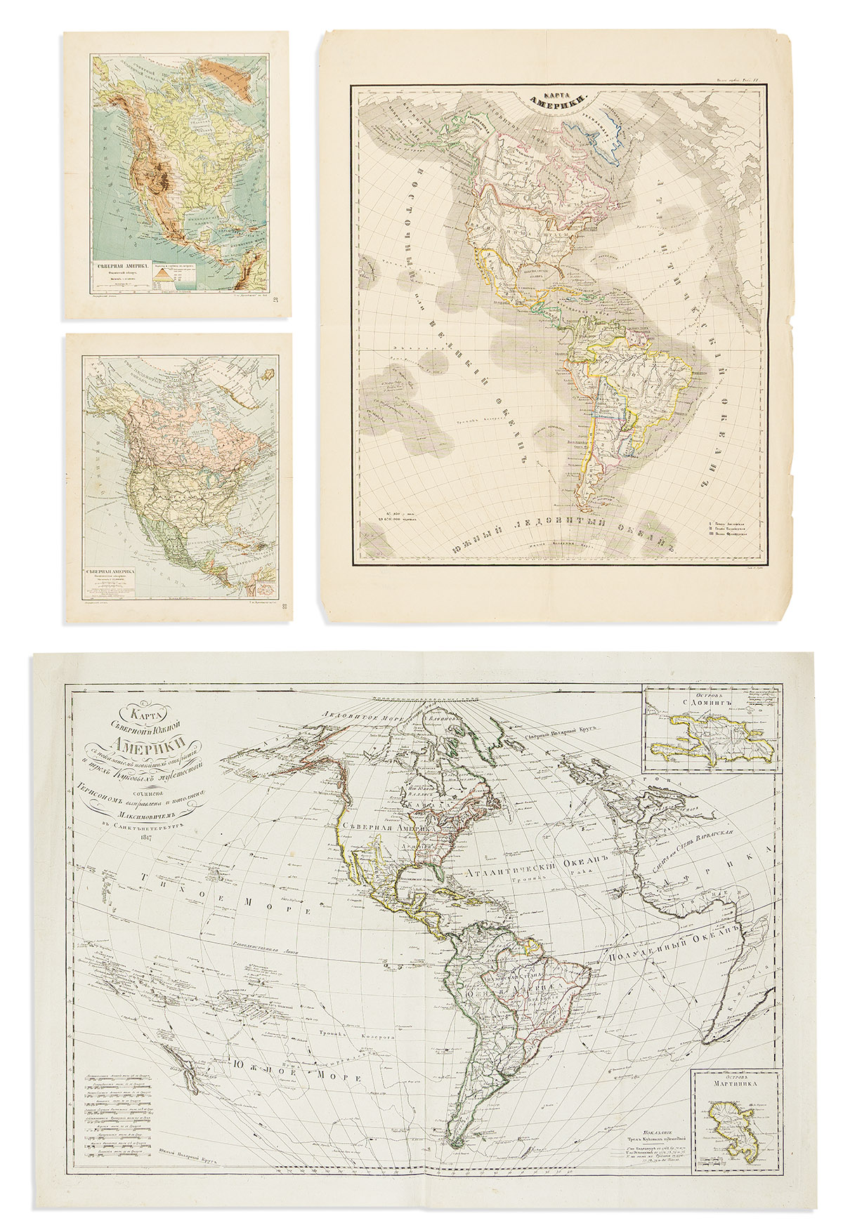
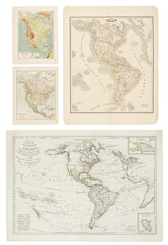
- After Eustache Herrison. Double-page engraved map of North and South America showing the tracks of Captain Cook's voyages in the Pacific and Atlantic Oceans. 23x32½ inches sheet size, wide margins; original hand-color in outline; minor signs of age. St. Petersburg, 1817.
- North and South America. Small-scale engraved map of the western hemisphere. 11¾x9½ inches sheet size, wide margins; old hand-color delineating political possessions, including a separately treated Russian Alaska; various soiling. St. Petersburg?, circa 1830.
- After Alexandre Emile Lapie. [United States of North America]. Engraved map of the eastern United States with a portion of western territories. 9½x12 inches sheet size, ample margins; original hand-color in outline; light staining. St. Petersburg?, circa 1830s.
- Lithographed folding map of North and South America. 25x19½ inches sheet size, wide margins; original hand-color in outline; old folds, edge wear. St. Petersburg?, circa 1860s.
- After Meyers Conversation Lexicon. Color-printed map of North America describing its physical topography. 12x9½ inches sheet size, wide margins; minor wear. St. Petersburg, circa 1900.
- After Meyers Conversation Lexicon. Color-printed map of North America showing domestic lines of transport. 12x9½ inches sheet size, wide margins; minor wear. St. Petersburg, circa 1900.