Dec 05, 2017 - Sale 2464

Sale 2464 - Lot 168

Price Realized: $ 3,120
?Final Price Realized includes Buyer’s Premium added to Hammer Price
Estimate: $ 2,000 - $ 3,000
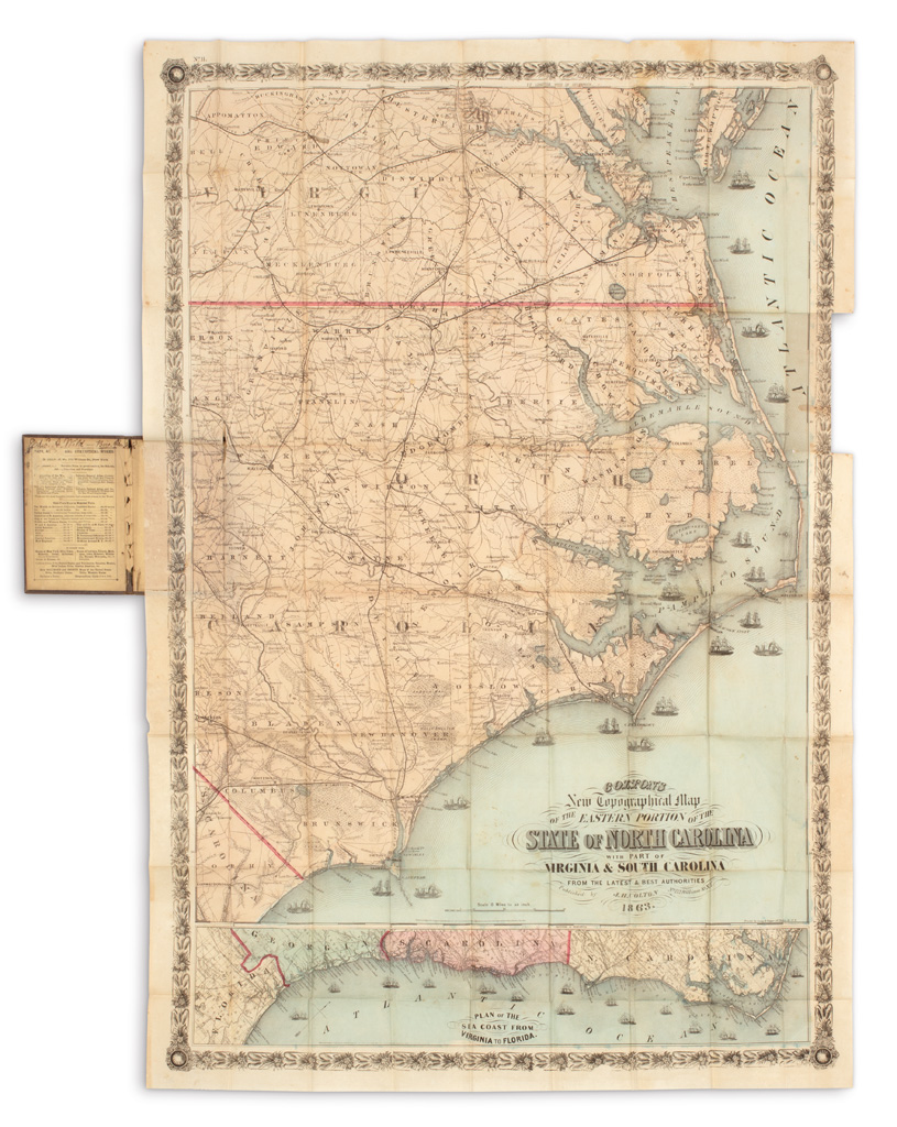
(NORTH CAROLINA.) Colton, Joseph Hutchins. Colton's New Topographical Map of the Eastern Portion of the State of North Carolina with Part of Virginia & South Carolina. Large hand-colored lithographed pocket map of North Carolina with inset "Plan of the Sea Coast from Virginia to Florida." 41 1/2x28 inches extended size, wide margins; folding into publisher's gilt lettered 8vo format cloth case; short splits and faint discolorations along fold lines, loss of a small portion of upper right border (easily reinstated by a professional.) Ownership signature in ink of U.S. Army Brigadier General Edward A. Wild on case pastedown; shelf label of Massachusetts Military Order of the Loyal Legion of the United States (MOLLUS) removed from case pastedown but preserved; sold at Harvard College Library duplicate sale March 5, 1947. New York, 1863

Additional Details

Apart from its aesthetic appeal and general scarcity, this map is captivating by association: During the Civil War, staunch abolitionist and Union Brigadier General Edward Augustus Wild organized and commanded the United States Colored Troops, infantry regiments comprised of freedmen recruits. In April of 1863, the year of this map, "Wild's African Brigade" engaged in meaningful action in North Carolina, focusing their attacks on Confederate guerillas, destroying rebel camps and freeing hundreds, if not thousands, of slaves by their efforts.