Dec 01, 2011 - Sale 2263

Sale 2263 - Lot 226

Unsold
Estimate: $ 400 - $ 600
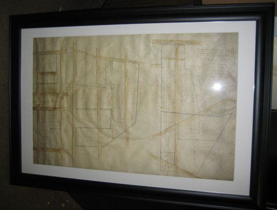
(PENNSYLVANIA.) Plat map of Wager family land in Philadelphia. 4 hand-colored plat maps on one vellum sheet, 31 x 20 inches to sight; minor wear. Not examined outside of frame. [Philadelphia, circa 1813-20]

Additional Details

The maps show the division of property among the heirs of Philip Wager (1748-1813), a Philadelphia wine merchant. The largest two maps shows property along Elm, 2nd, and Wager Streets, and along Poplar, Old York, Sixth, and Seventh Streets.