Sale 2591 - Lot 191
Price Realized: $ 650
Price Realized: $ 812
?Final Price Realized includes Buyer’s Premium added to Hammer Price
Estimate: $ 500 - $ 750
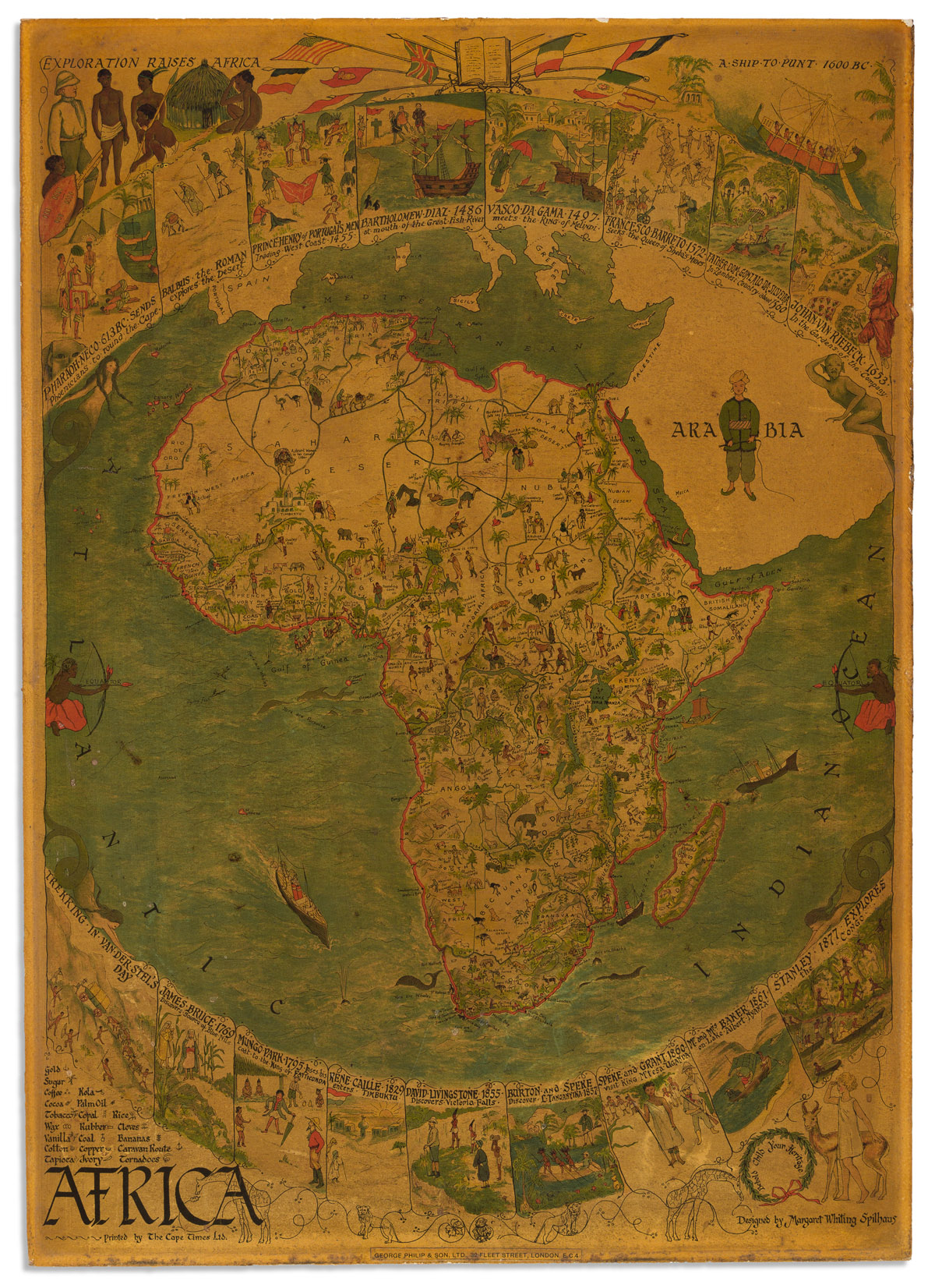
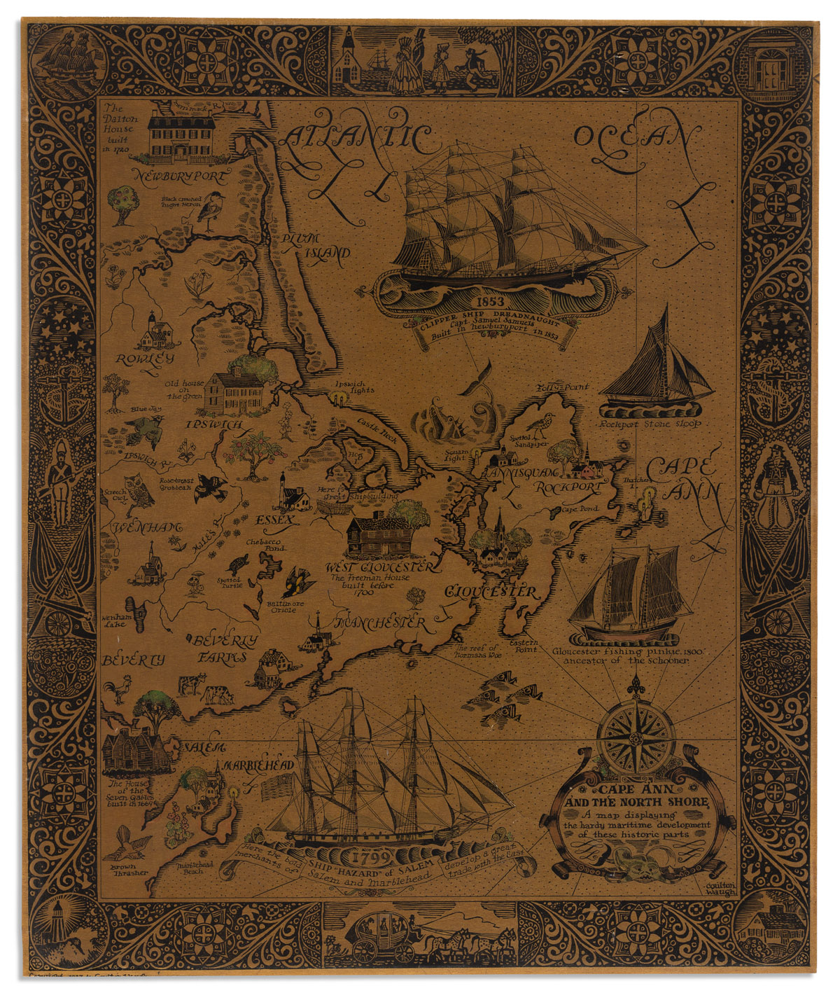
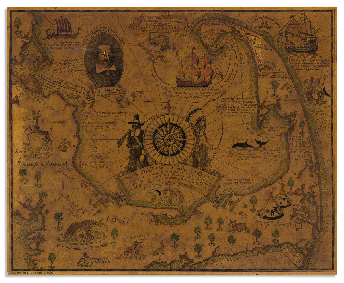
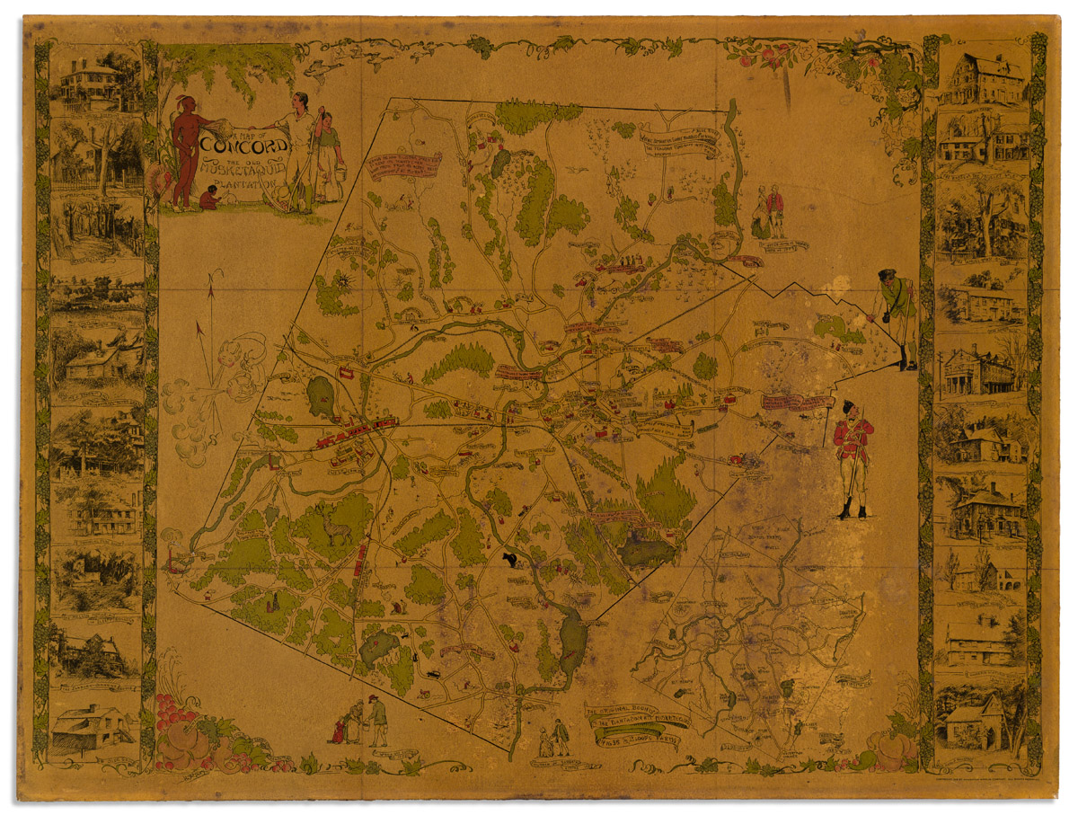
(PICTORIAL MAPS.) Group of 8 early 20th-century color-lithographed pictorial maps. 28x37 1/2 the largest, 15 3/4x19 1/2 the smallest; each mounted to board and darkened with varnish, small scattered scrapes and scratches, a few with lower imprint trimmed. sold as is. Vp, vd
Additional Details
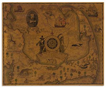
- Coulton Waugh. A Map of Cape Cod Wherein is Shown ye Discovery and Settlement of the Same; with the Tracks of ye Pilgrims Carefully Prepared According to Mourts Relation. 1926.
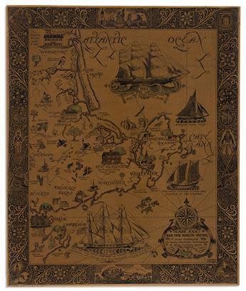
- Coulton Waugh. Cape Ann and the North Shore. A Map Displaying the Hardy Maritime Development of These Historic Parts. 1927.
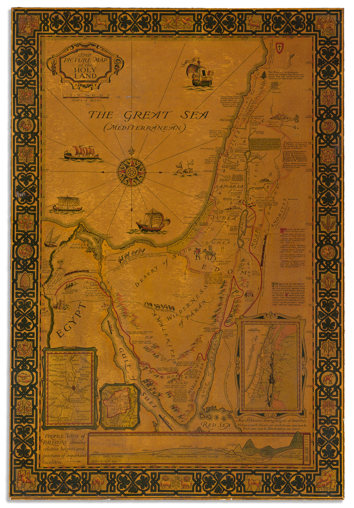
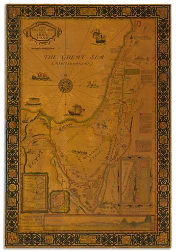
- Harold Haven Brown. The Picture map of the Holy Land. 1928.
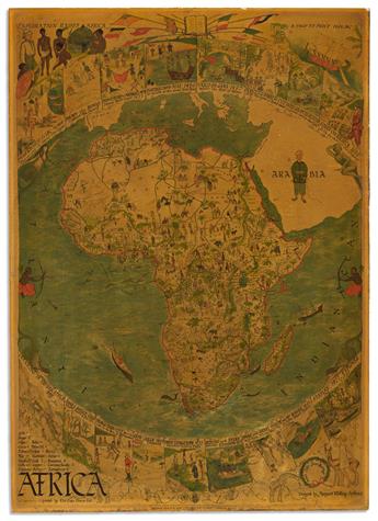
- Margaret Whiting Spilhaus. Africa. Circa 1925 (Cape Times, with George Philip & Son imprint pasted on).
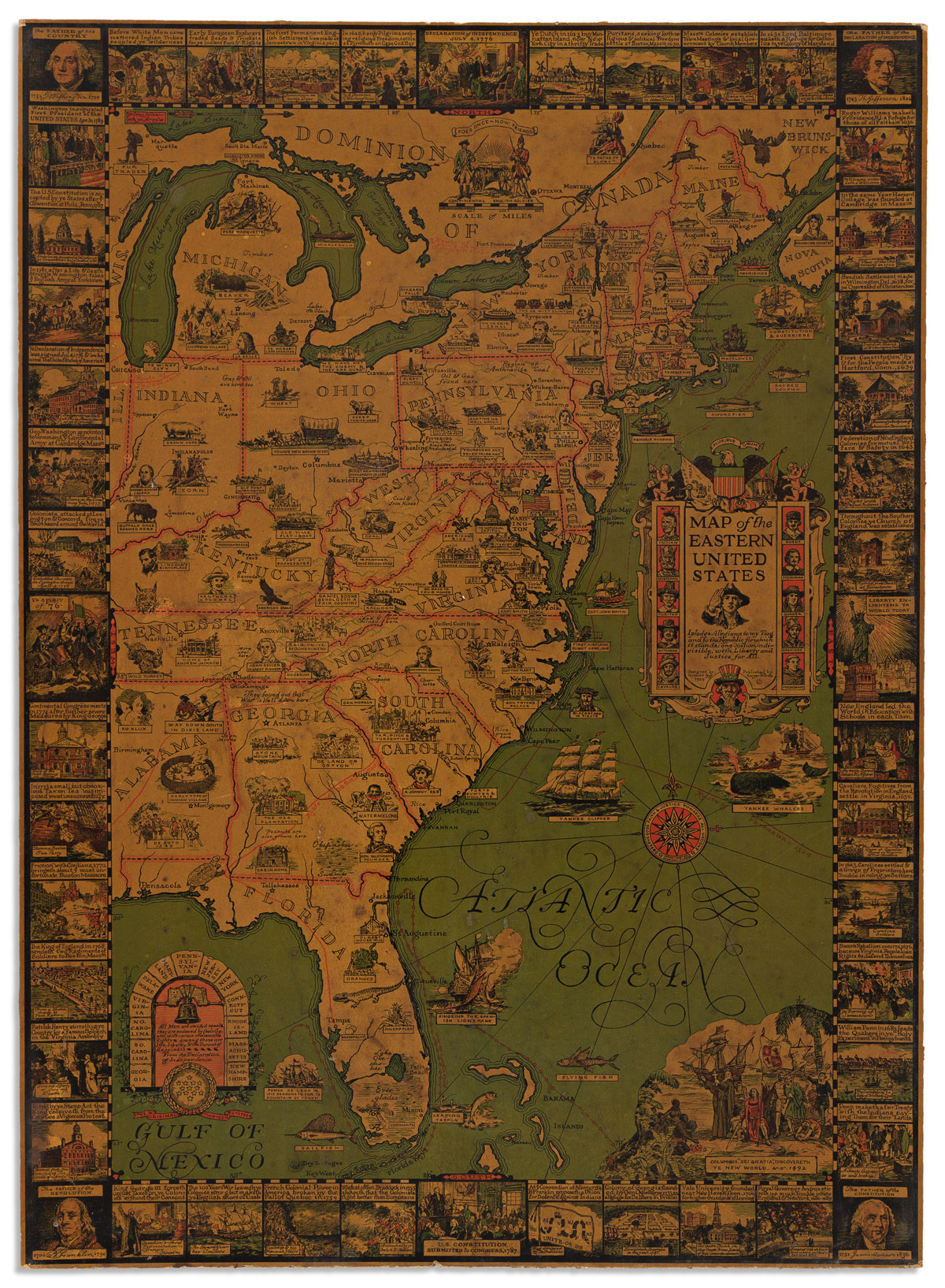
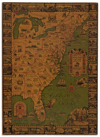
- Griswold Tyng. Map of the Eastern United States. 1929.
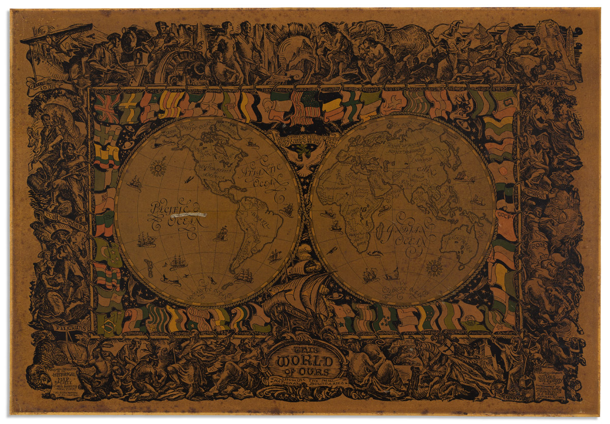
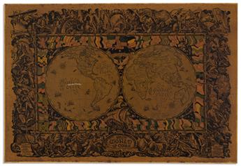
- James Daugherty, et al. This World of Ours Showing the New National Boundaries. 1929.
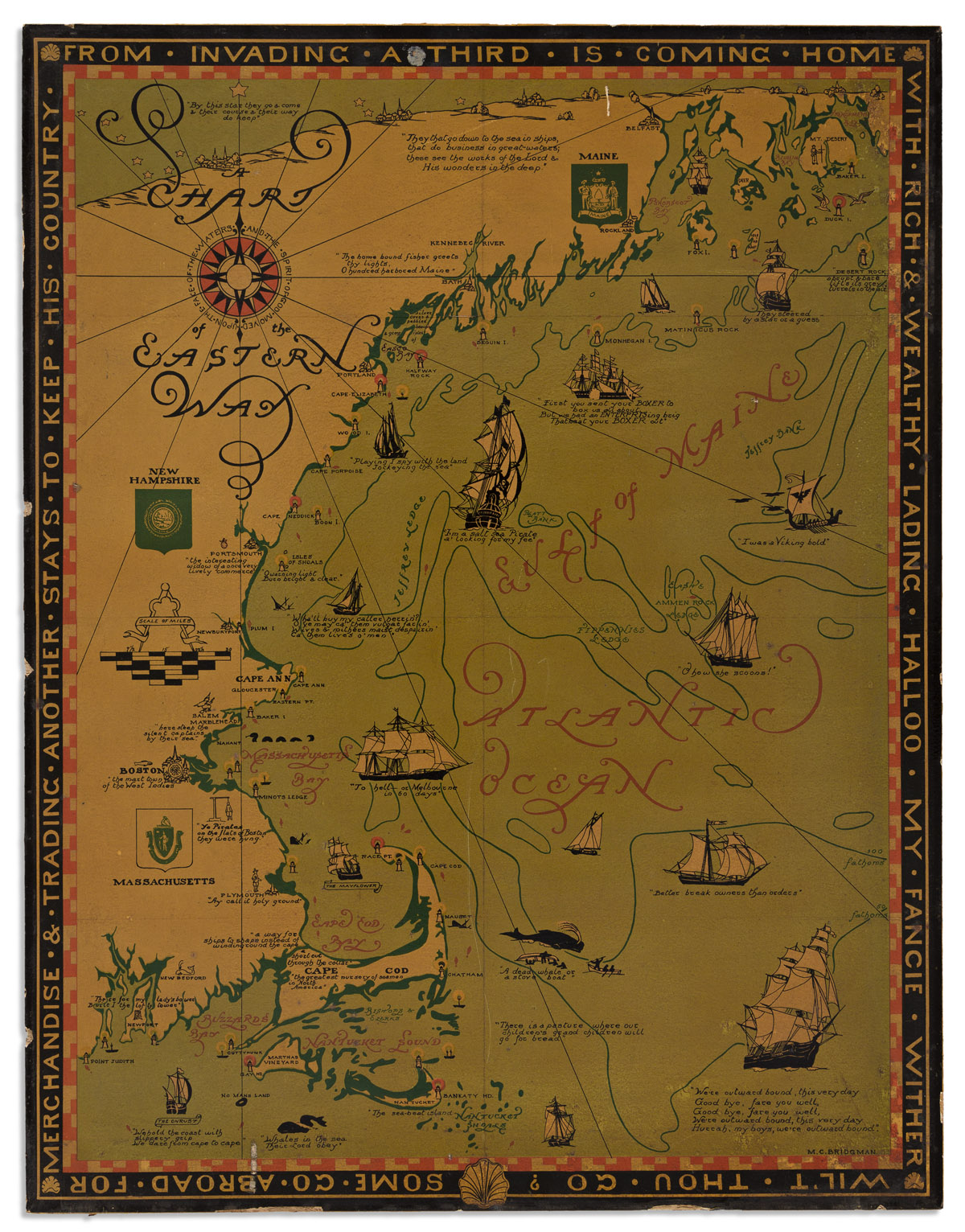
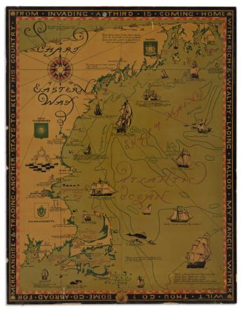
- M.C. Bridgman. A Chart of the Eastern Way. And the Spirit of God Moved Upon the Face of the Waters. 1926.
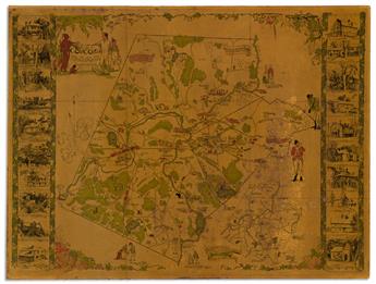
- Helen Bodley. A Map of Concord, the Old Musketaquid Plantation. 1928.
Exhibition Hours
Exhibition Hours
Aliquam vulputate ornare congue. Vestibulum maximus, libero in placerat faucibus, risus nisl molestie massa, ut maximus metus lectus vel lorem.


