Dec 17, 2019 - Sale 2527

Sale 2527 - Lot 178

Price Realized: $ 406
?Final Price Realized includes Buyer’s Premium added to Hammer Price
Estimate: $ 200 - $ 300
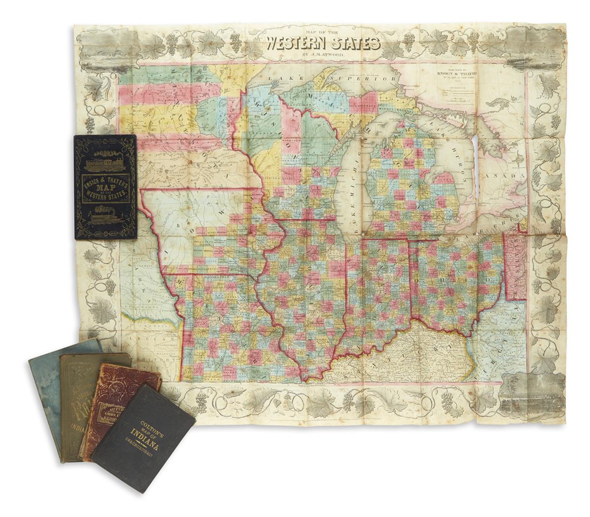
(POCKET MAPS.) Group of 5 folding pocket maps and travel guides. Vp, vd

Additional Details

Atwood, J.M. Map of the Western States. Lithograph with original hand-color; 22x27 inches, folding into publisher's pictorially gilt black morocco case with 35-page Traveller's Guide; foxing and some losses along fold lines. New York: Ensign & Thayer, 1851. Smith, J. Calvin. Guide Through Ohio, Michigan, Indiana, Illinois, Missouri, Wisconsin and Iowa. Lithograph with original hand-color; 19 1/2x25 1/2 inches, folding into publisher's gilt-lettered cloth case with 119-page Tourist and Emigrant's Guide; large tears unprofessionally sewn closed (better restoration possible). New York: J.H. Colton, 1846. Colton, George Woolworth. Colton's County & Township Rail Road Map of Ohio, Indiana, & Michigan. Lithograph with original hand-color; 30x26 1/2 inches, folding into publisher's gilt-lettered cloth case; scattered staining and splits along folds. New York: Thayer & Colton; and Chicago: Rufus Blanchard, 1860. Colton, G.W. & C.B. Colton's New Map of Indiana Reduced from His Large Map. Lithograph with original hand-color; 16x13 1/2 inches, folding into publisher's gilt and blind stamped cloth case; some repairs with discoloration. New York: Colton, 1869. Mitchell, S. Augustus. Map of the States of Ohio, Indiana and Illinois With the Settled Part of Michigan. Engraving with original hand-color; 18x22 inches, folding into publisher's worn gilt and blind stamped roan case; stains and tears. sold with all faults.