Dec 04, 2014 - Sale 2369

Sale 2369 - Lot 110

Price Realized: $ 1,875
?Final Price Realized includes Buyer’s Premium added to Hammer Price
Estimate: $ 1,000 - $ 1,500
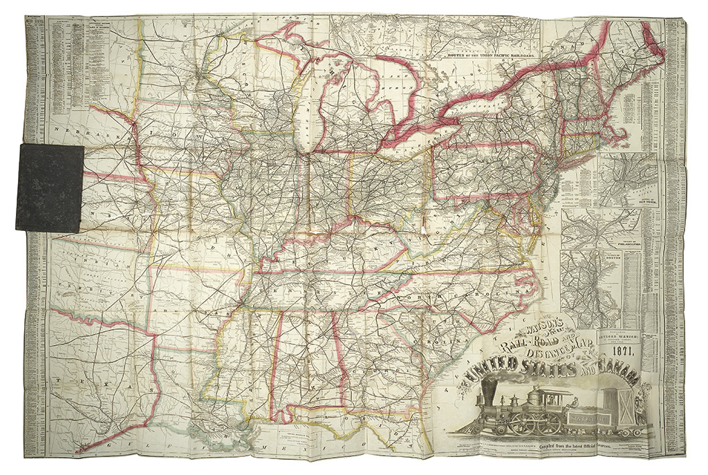
(RAILROAD.) Watson, Gaylord. Watson's New Rail-Road and Distance Map of the United States and Canada. Large folding pocket map of the railroad lines of the eastern United States. 910x1240 mm unfolded; original outline hand-color; publisher's boards; one moderate tear into the image, a bit of toning and wear at the folds. Faults seem repairable. New York: Gaylord Watson, 1871

Additional Details

Although the copyright date is 1868, it is unclear when the first edition appeared; Modelski reports no edition earlier than 1871, however several 1869 examples have been seen on the market.