Sale 2655 - Lot 157
Price Realized: $ 800
Price Realized: $ 1,000
?Final Price Realized includes Buyer’s Premium added to Hammer Price
Estimate: $ 1,500 - $ 2,000
(RUSSIA.) Group of 13 seventeenth-to-nineteenth-century engraved maps of the region. Vp, vd
Additional Details
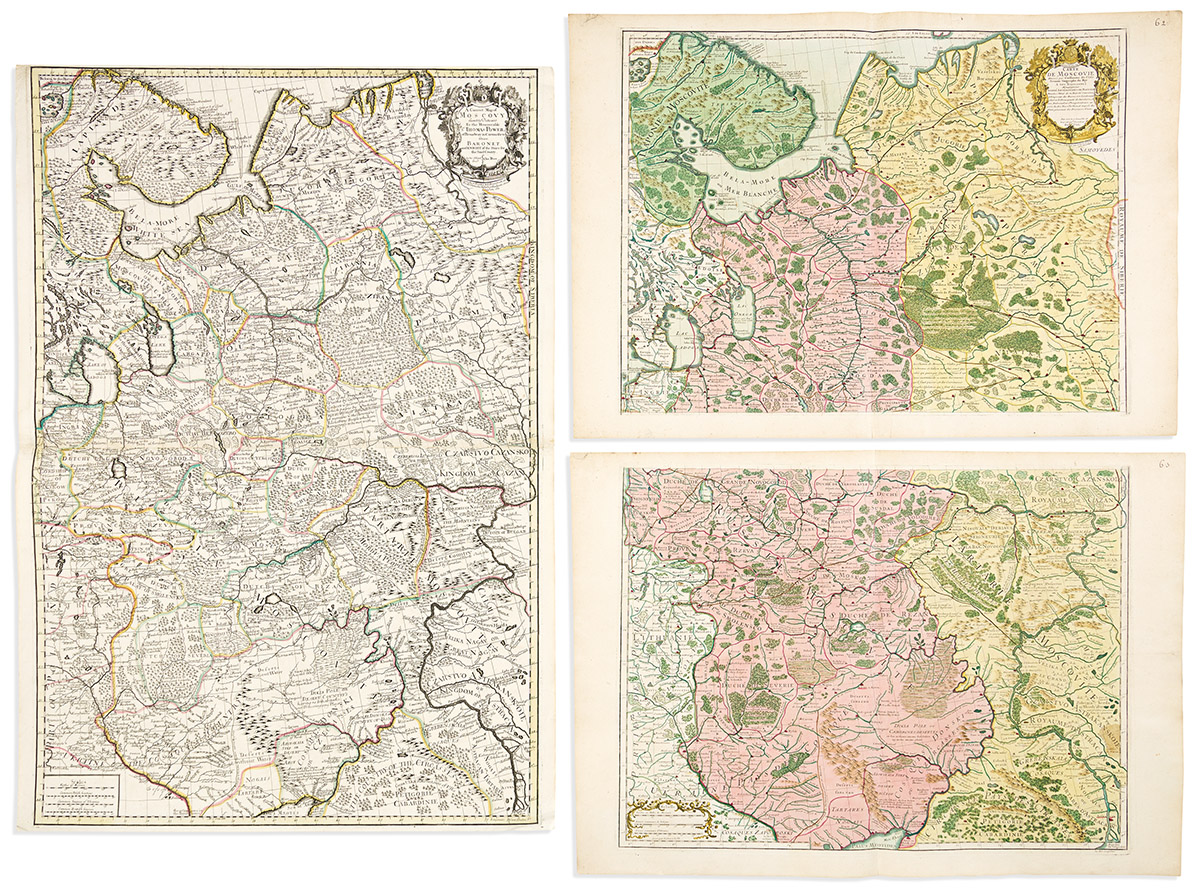
- Charles Price; and George Willdey. A Correct Map of Moscovy. Large double-page engraved map of European Russia filled with anecdotal passages. 2 sheets joined, 38 1/2x27 1/4 inches overall, ample margins; attractive original hand-color in outline; minor edge wear but largely excellent. London, 1711.
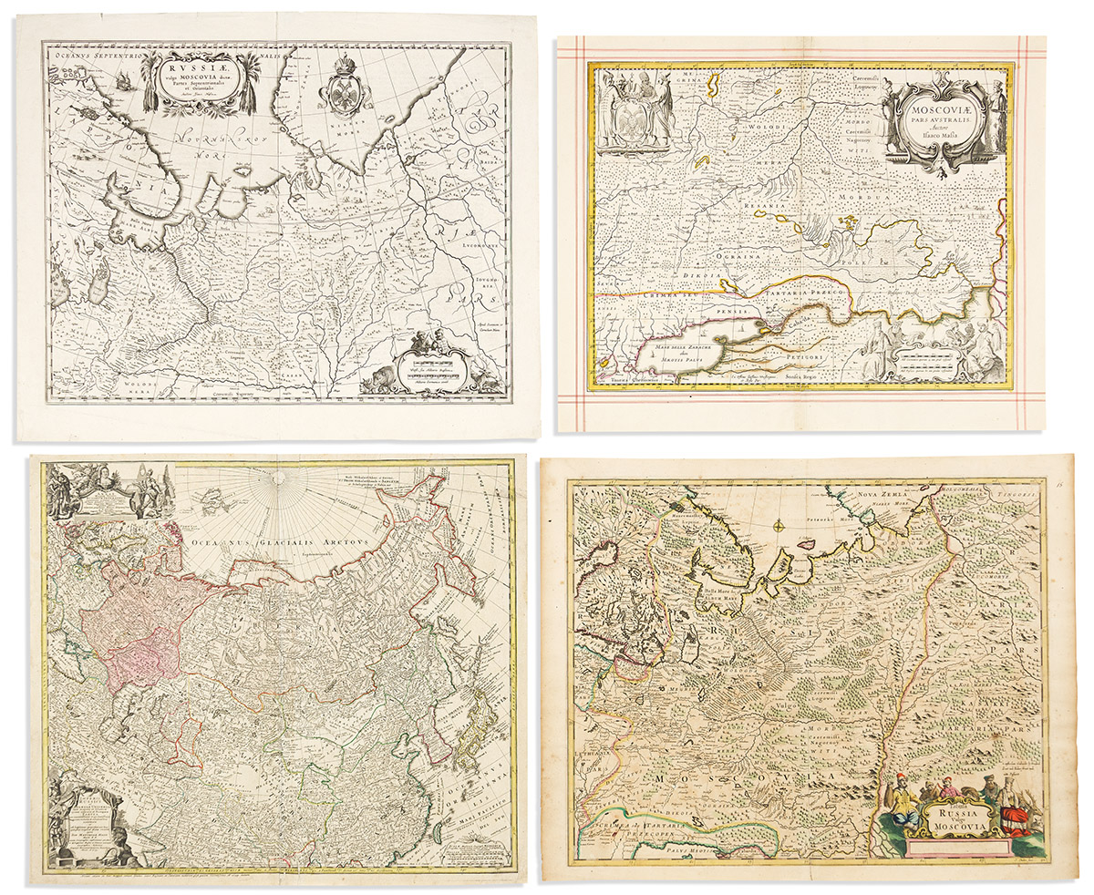
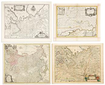
- Frederick de Wit. Tabula Russa vulgo Moscovia. Double-page engraved map of Russia with a decorative title cartouche. 19 1/4x24 1/2 inches sheet size, wide margins; original hand-color; light offset and foxing, small repair at lower center. Amsterdam, circa 1680.
- Moses Pitt; and Johannes Janssonius. Moscoviae pars Australis. Double-page engraved map of eastern Ukraine and southwestern Russia. 18x22 1/4 inches sheet size, wide margins with presentation red ruling; original hand-color in outline; center fold and verdigris stabilized on verso. Oxford, circa 1680.
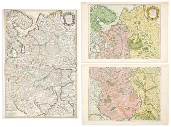
- Dezauche; after De L'Isle. Carte de Moscovie. [Upper half only]. Double-page engraved map of northwestern Russia. 21 1/2x29 1/2 inches sheet size, wide margins; original hand-color in outline; minor wear. Paris, 1780.
- Blaeu family. Russiae vulgo Moscovia dictae Partes Septentrionalis et Orientalis. Double-page engraved map of western Russia. 19 1/2x24 inches sheet size, wide margins, French text on verso; minor wear. Amsterdam, circa 1640.
- Guillaume de L'Isle. Carte de Moscovie. Two double-page engraved sheets comprising one large map of western Russia and part of Ukraine. 21 1/2x30 3/4 inches each sheet size, wide margins; excellent original hand-color in full; minor corner repairs. Paris, 1706.
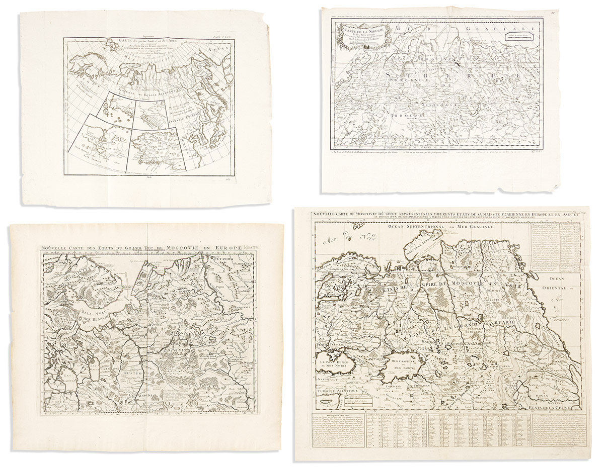
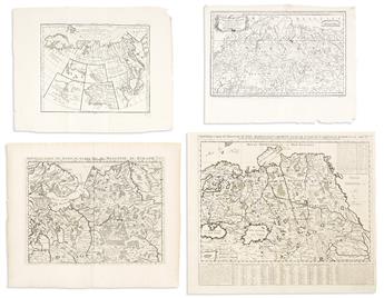
- Jacques Nicolas Bellin. Carte De La Siberie Et des Pays Voisins. Engraved folding map of Russia. 15 1/2x20 inches sheet size, wide margins with untrimmed deckle edges; fine. Paris, circa 1750.
- Henri Chatelain. Nouvelle Carte de Moscovie our sont Representes les Diferents Etats de sa Maieste Czarienne en Europe et en Asie. Engraved folding map of Russia. 21 1/4x25 inches sheet size, wide margins; fine. Amsterdam, circa 1720.
- Henri Chatelain. Nouvelle Carte des Etats du Grand Duc de Moscovie en Europe. Double-page engraved map of western Russia. 19x22 3/4 inches sheet size, wide margins; fine. Amsterdam, circa 1720.
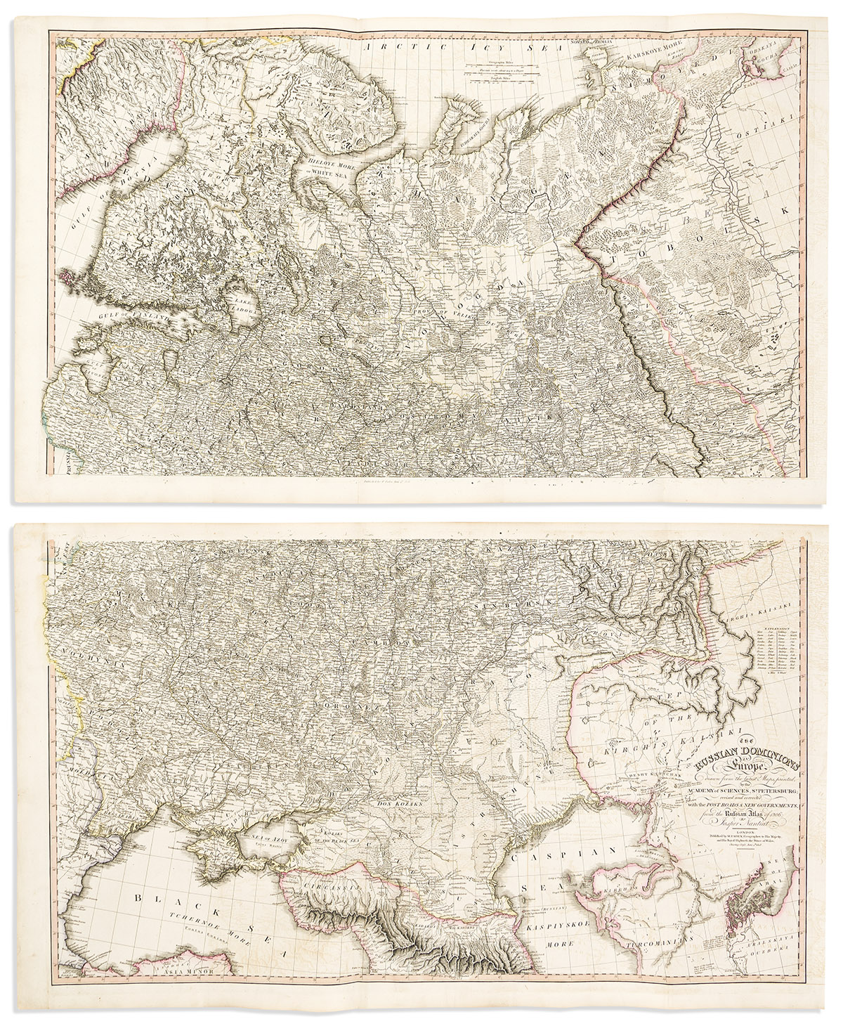
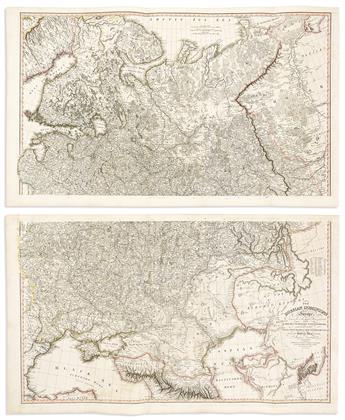
- Jasper Nantiat. The Russian Dominions in Europe. Large engraved map of western Russia and parts of Belarus, Ukraine, and Kazakhstan. 2 un-joined sheets, approximately 23x38 1/2 inches each, wide margins; original hand-color in outline; moderate offsetting. London: William Faden, 1808.
- Didier Robert de Vaugondy; and Denis Diderot. Carte des Parties Nord et Est de l'Asie. Engraved folding map of Russia and Siberia with several insets of North American regions. 16 1/2x21 inches sheet size, wide margins with untrimmed deckle edges; minor edge wear. Paris, 1772.
- Homann Heirs. Imperii Russici et Tatariae Universae. Double-page engraved map of the Russian empire. 19 1/2x22 3/4 inches sheet size, ample margins; original hand-color; lined on verso with later paper, some closed tears. Nuremberg, 1739.
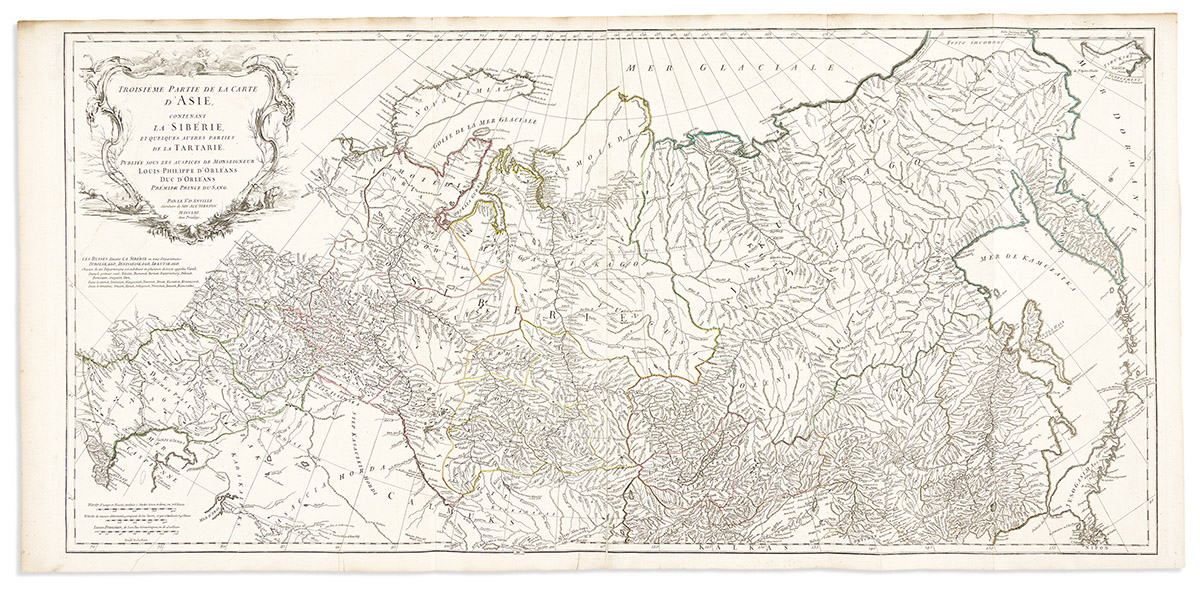
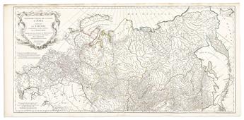
- Jean Baptiste Bourguignon d'Anville. Troisieme Partie de la Carte d'Asie, Contenant la Siberie, et Quelques Autres Parties de la Tartarie. Large engraved map of northern Russia. 2 sheets joined, 21 1/2x45 inches overall, ample margins; original hand-color in outline; minor signs of age. Paris, 1753.
Exhibition Hours
Exhibition Hours
Aliquam vulputate ornare congue. Vestibulum maximus, libero in placerat faucibus, risus nisl molestie massa, ut maximus metus lectus vel lorem.


