Sale 2642 - Lot 117
Price Realized: $ 2,600
Price Realized: $ 3,250
?Final Price Realized includes Buyer’s Premium added to Hammer Price
Estimate: $ 2,000 - $ 3,000
(SPACE.) NASA. Large archive of approximately 45 lunar mission charts and pamphlets. First editions; various sizes, one signed; all generally excellent condition. Washington, D.C., 1960s-1970s
Show moreShow lessAdditional Details
- Mercury Orbit Chart MOC-6. 10 1/2x35 inches. February 1963.
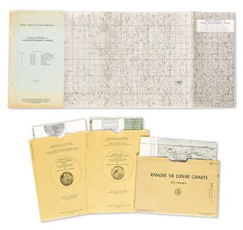
- Ranger VII Lunar Charts RLC 1 Through 5 (Mare Cognitum, Guericke Mare Cognitum, Bonpland H Mare Cognitum, Bonpland PQC Mare Cognitum, RLC 5. Original printed manila folder. 1st Edition, 1964.
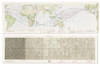
- Gemini Orbit Chart GOC-4 (GT-4). Sheets 1-3 (of 3). 9 1/2x28 1/4 inches each. May 1965.
- Gemini Mission Chart (GMC 7) Gemini Mission 7. 10 3/4x32 3/4 inches. November 1965. (Duplicate copy).
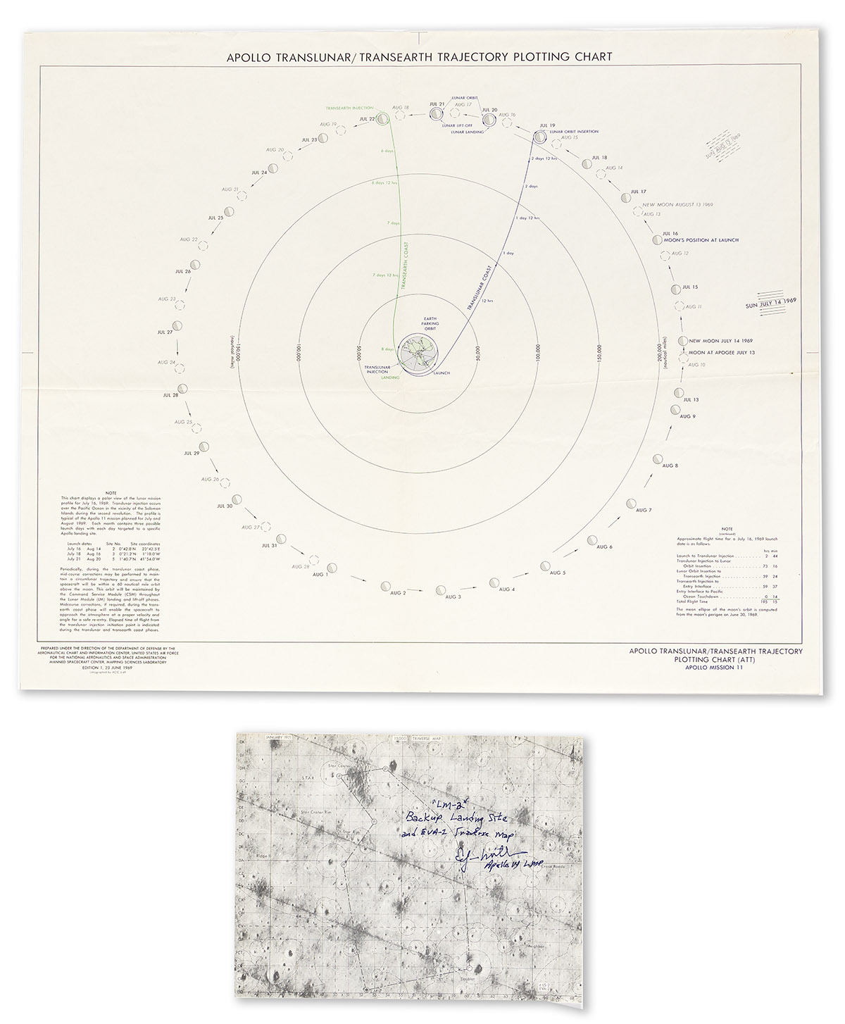
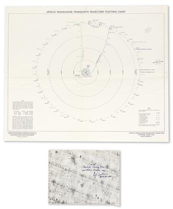
- Apollo Translunar/Transearth Trajectory Plotting Chart. 20x24 inches, flattened folds. June 1969.
- Apollo Mission Chart (AMC) 6 Apollo Mission 6. Sheet 2 only (of 2). 13 1/2x41 1/2 inches. February 1968.
- Apollo Mission Chart (AMC) 7 Apollo Mission 7. 13 1/2x41 1/2 inches. August 1968.
- Apollo Earth Orbit Chart (AEO) Apollo Mission 8. Sheets 1-3 (of 3). 13 1/2x41 1/2 inches each. November 1968.
- Apollo Target of Opportunity Flight Chart (ATO) Apollo Mission 8. 14x58 1/2 inches. December 1968.
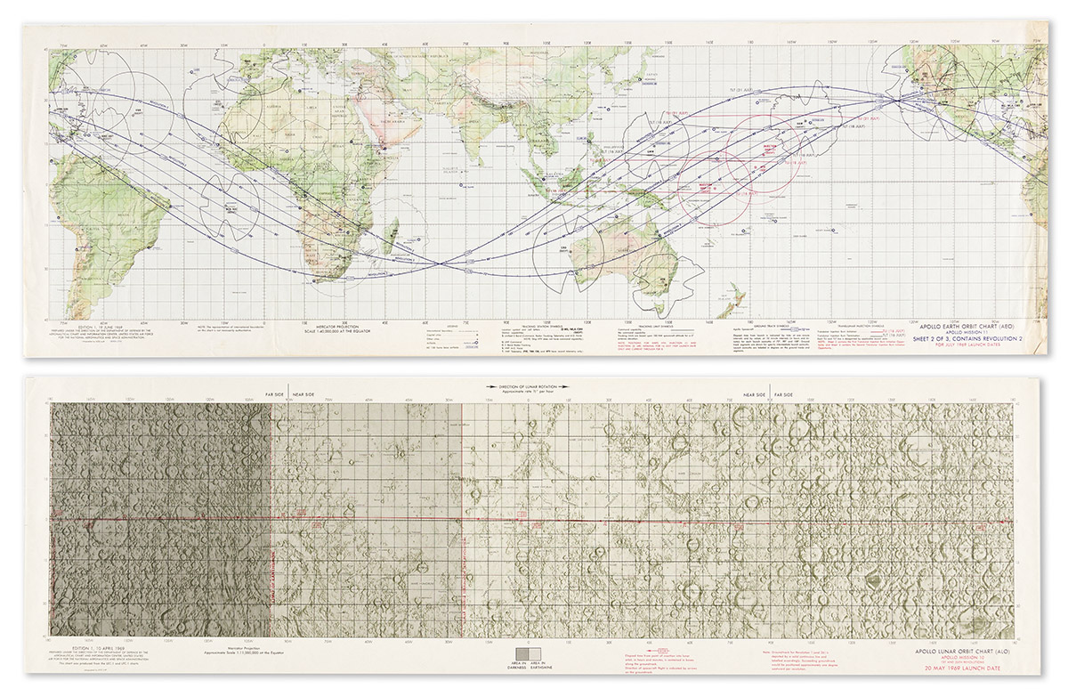
- Apollo Earth Orbit Chart (AEO) Apollo Mission 10. Sheets 1-3 (of 3). 13 1/2x41 1/2 inches each. April 1969.
- Apollo Lunar Orbit Chart (ALO) Apollo Mission 10 1st and 26th Revolutions. 12x41 inches. April 1969.
- Apollo Target of Opportunity Flight Chart (ATO) Apollo Mission 10. 14x58 1/2 inches. April 1969.
- Apollo Lunar Orbit Chart (ALO) Apollo Mission 11 1st and 30th Revolutions. 12x41 inches. June 1969.
- Apollo Earth Orbit Chart (AEO) Apollo Mission 11. Sheet 2 only (of 3). 13 1/2x41 1/2 inches. June 1969.
- Apollo Mission 10 Photography Indexes. 6 large folding charts, staple-bound blue printed wrappers. July 1969.
- Apollo Mission 14 Lunar Photography Indexes. 3 large folding charts, staple-bound printed wrappers. June 1971.
- Apollo 14 Traverse Map, LM-2. 8x10 1/2 inches, signed and inscribed "LM-2, Backup Landing Site and EVA-2 Traverse Map, Edgar Mitchell, Apollo 14 LMP." January 1971.
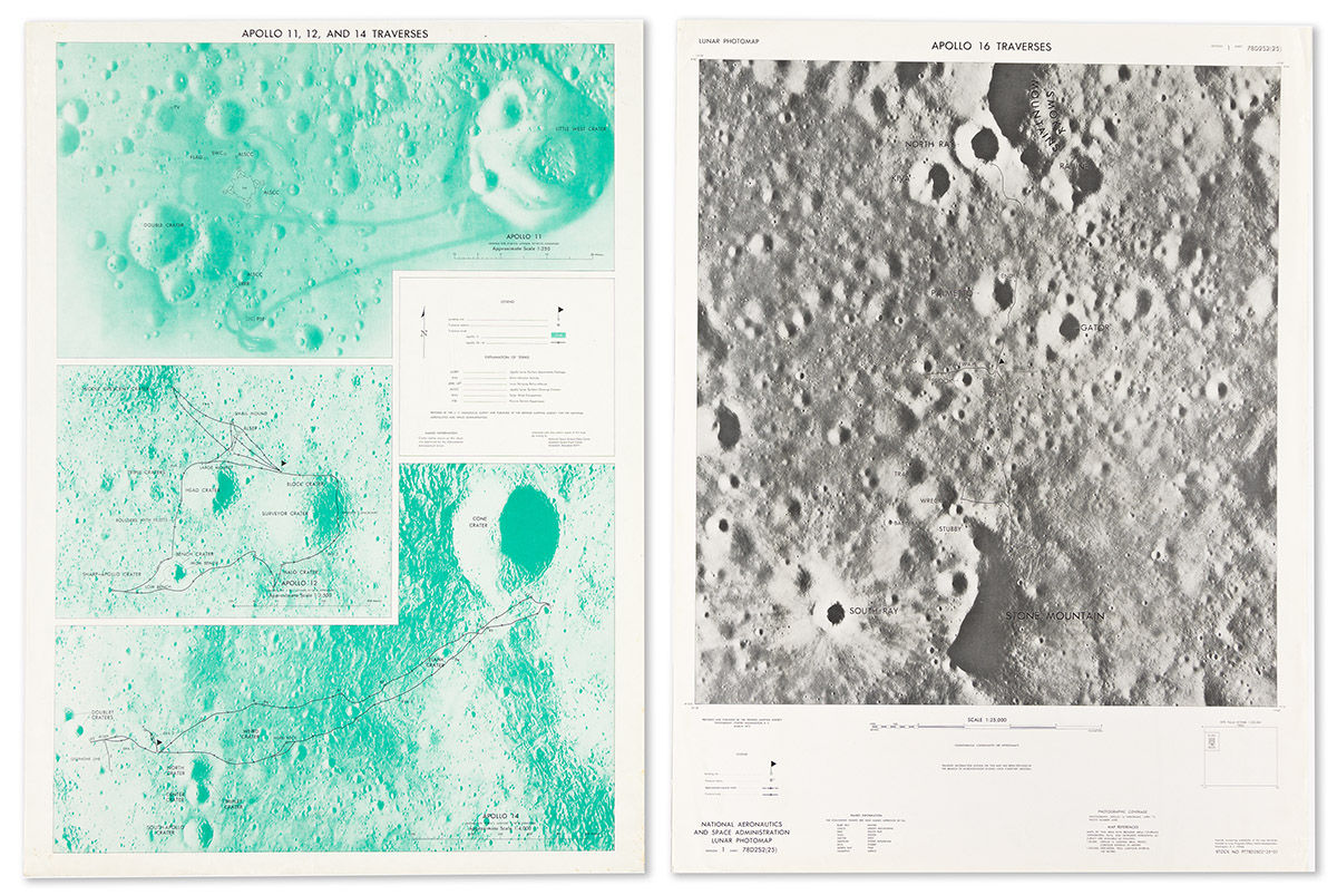
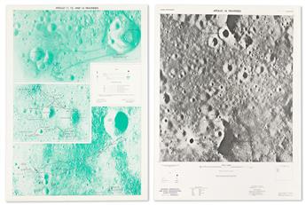
- Apollo 11, 12, and 14 Traverses. 29x21 inches. Nd, [1971]. (3 duplicate copies).
- Lunar Photomap Apollo 16 Traverses. 29x22 inches. March 1975.
- Lunar Orbital Science Flight Chart. Chart D, 1 of 3. 26 1/2x57 1/2. February 1970.
- Apollo Mission 15 Lunar Photography Index Map. Sheets 2, 5, and 6 only (of 10). March 1972.
- Apollo Mission 16 Lunar Photography Index Map. Sheet 2 only (of 6). August 1972.
- S.R. Titley and N.J. Trask. Geologic Map of Apollo Landing Site 5. 22 1/2x42 inches overall, original printed manila folder. U.S. Geological Survey, 1969.
- Mareta West and P. Jan Cannon. Geologic Map of Apollo Landing Sites 4 and 4R. 25x37 1/2 inches overall, original printed manila folder. U.S. Geological Survey, 1971.
Show moreShow less- Ranger VII Lunar Charts RLC 1 Through 5 (Mare Cognitum, Guericke Mare Cognitum, Bonpland H Mare Cognitum, Bonpland PQC Mare Cognitum, RLC 5. Original printed manila folder. 1st Edition, 1964.
- Gemini Orbit Chart GOC-4 (GT-4). Sheets 1-3 (of 3). 9 1/2x28 1/4 inches each. May 1965.
- Gemini Mission Chart (GMC 7) Gemini Mission 7. 10 3/4x32 3/4 inches. November 1965. (Duplicate copy).
- Apollo Translunar/Transearth Trajectory Plotting Chart. 20x24 inches, flattened folds. June 1969.
- Apollo Mission Chart (AMC) 6 Apollo Mission 6. Sheet 2 only (of 2). 13 1/2x41 1/2 inches. February 1968.
- Apollo Mission Chart (AMC) 7 Apollo Mission 7. 13 1/2x41 1/2 inches. August 1968.
- Apollo Earth Orbit Chart (AEO) Apollo Mission 8. Sheets 1-3 (of 3). 13 1/2x41 1/2 inches each. November 1968.
- Apollo Target of Opportunity Flight Chart (ATO) Apollo Mission 8. 14x58 1/2 inches. December 1968.
- Apollo Earth Orbit Chart (AEO) Apollo Mission 10. Sheets 1-3 (of 3). 13 1/2x41 1/2 inches each. April 1969.
- Apollo Lunar Orbit Chart (ALO) Apollo Mission 10 1st and 26th Revolutions. 12x41 inches. April 1969.
- Apollo Target of Opportunity Flight Chart (ATO) Apollo Mission 10. 14x58 1/2 inches. April 1969.
- Apollo Lunar Orbit Chart (ALO) Apollo Mission 11 1st and 30th Revolutions. 12x41 inches. June 1969.
- Apollo Earth Orbit Chart (AEO) Apollo Mission 11. Sheet 2 only (of 3). 13 1/2x41 1/2 inches. June 1969.
- Apollo Mission 10 Photography Indexes. 6 large folding charts, staple-bound blue printed wrappers. July 1969.
- Apollo Mission 14 Lunar Photography Indexes. 3 large folding charts, staple-bound printed wrappers. June 1971.
- Apollo 14 Traverse Map, LM-2. 8x10 1/2 inches, signed and inscribed "LM-2, Backup Landing Site and EVA-2 Traverse Map, Edgar Mitchell, Apollo 14 LMP." January 1971.
- Apollo 11, 12, and 14 Traverses. 29x21 inches. Nd, [1971]. (3 duplicate copies).
- Lunar Photomap Apollo 16 Traverses. 29x22 inches. March 1975.
- Lunar Orbital Science Flight Chart. Chart D, 1 of 3. 26 1/2x57 1/2. February 1970.
- Apollo Mission 15 Lunar Photography Index Map. Sheets 2, 5, and 6 only (of 10). March 1972.
- Apollo Mission 16 Lunar Photography Index Map. Sheet 2 only (of 6). August 1972.
- S.R. Titley and N.J. Trask. Geologic Map of Apollo Landing Site 5. 22 1/2x42 inches overall, original printed manila folder. U.S. Geological Survey, 1969.
- Mareta West and P. Jan Cannon. Geologic Map of Apollo Landing Sites 4 and 4R. 25x37 1/2 inches overall, original printed manila folder. U.S. Geological Survey, 1971.
Exhibition Hours
Exhibition Hours
Aliquam vulputate ornare congue. Vestibulum maximus, libero in placerat faucibus, risus nisl molestie massa, ut maximus metus lectus vel lorem.


