Dec 08, 2016 - Sale 2434

Sale 2434 - Lot 80

Unsold
Estimate: $ 2,000 - $ 3,000
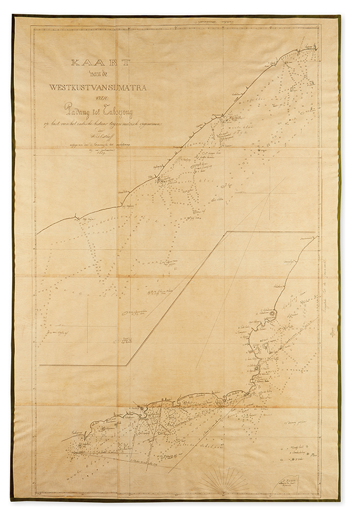
(SUMATRA - MANUSCRIPT MAP.) Osthoff, H.J. Kaart van de West Kust Van Sumatra van Padang tot Taboejoug op last van het indische bestuur trigonometrisch opgenomen. Fine early copy of a chart by Osthoff. Graphite and ink on onion skin paper, modern canvas backing with silk selvage. 37x25 1/4 inches. [Np, after 1840]

Additional Details

Osthoff surveyed the western coast of Sumatra for the government of the Dutch East Indies in the late 1830's, compiling several charts of the island. The present chart focuses on the coastline from Pedang to Taboujoug. A printed map of the same title is located in the Leiden University Library, suggesting this may be a contemporary copy of either the printed version of the map, or a copy of Osthoff's original manuscript.