May 29 at 12:00 PM - Sale 2706 -

Sale 2706 - Lot 206

Estimate: $ 1,500 - $ 2,500
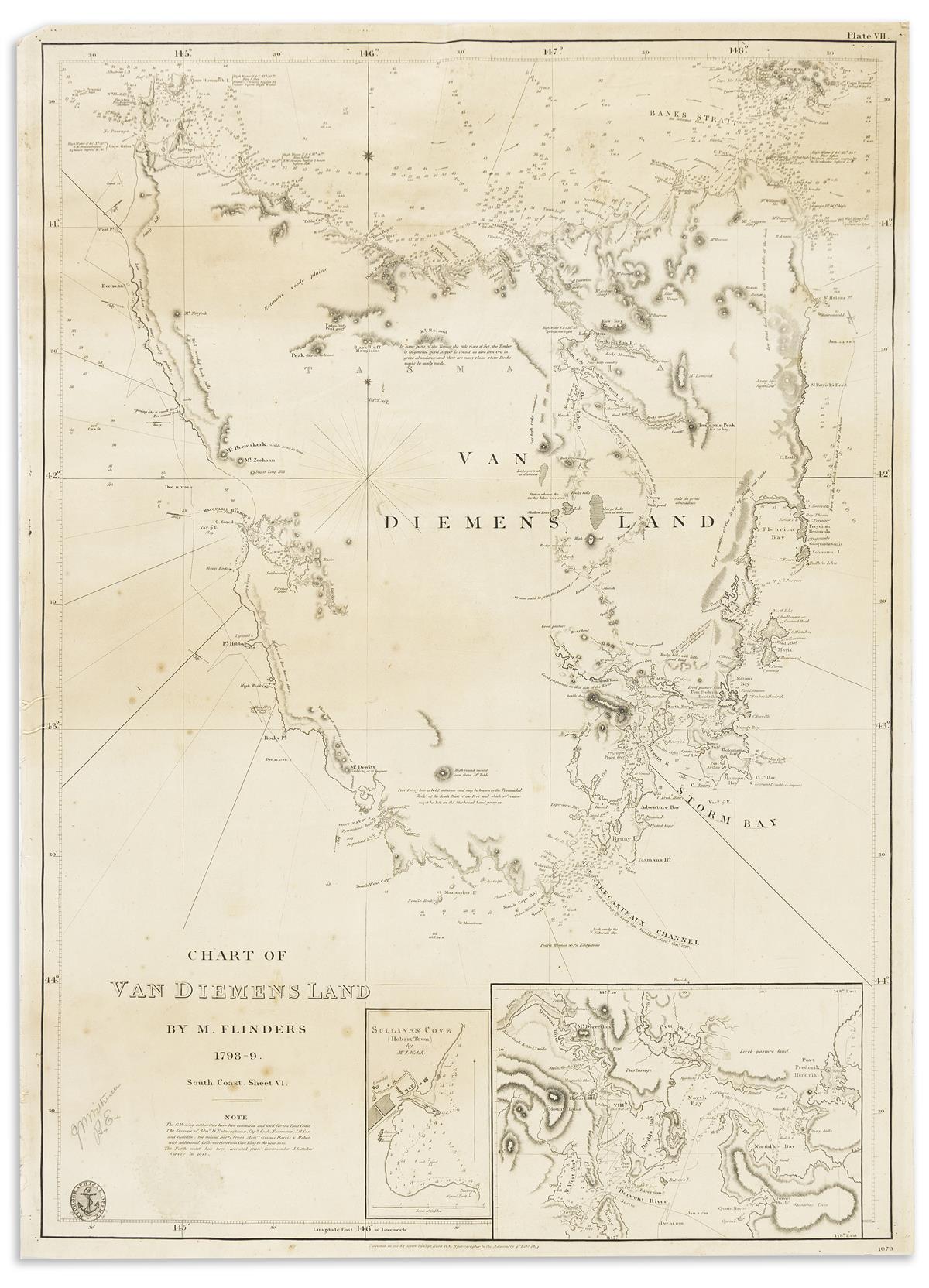
(TASMANIA.) British Admiralty. Chart of Van Diemens Land by M. Flinders 1798-9. South Coast, Sheet VI. Large engraved chart of Tasmania with insets of Sullivan's Cove (Hobart) and the River Derwent estuary. 26x19inches sheet size, ample margins; original linen backing, light staining and foxing. London, 1814 [1843]

Additional Details

Early British Naval chart detailing Matthew Flinders' important survey in the closing years of the eighteenth-century which defined the coastline of Tasmania and dispelled belief that this island was coupled to the Australian landmass. First published in 1814, the present chart is updated with information obtained by the survey of Commander J. L. Stokes in 1843.