Jun 21, 2016 - Sale 2420

Sale 2420 - Lot 311

Price Realized: $ 750
?Final Price Realized includes Buyer’s Premium added to Hammer Price
Estimate: $ 1,000 - $ 1,500
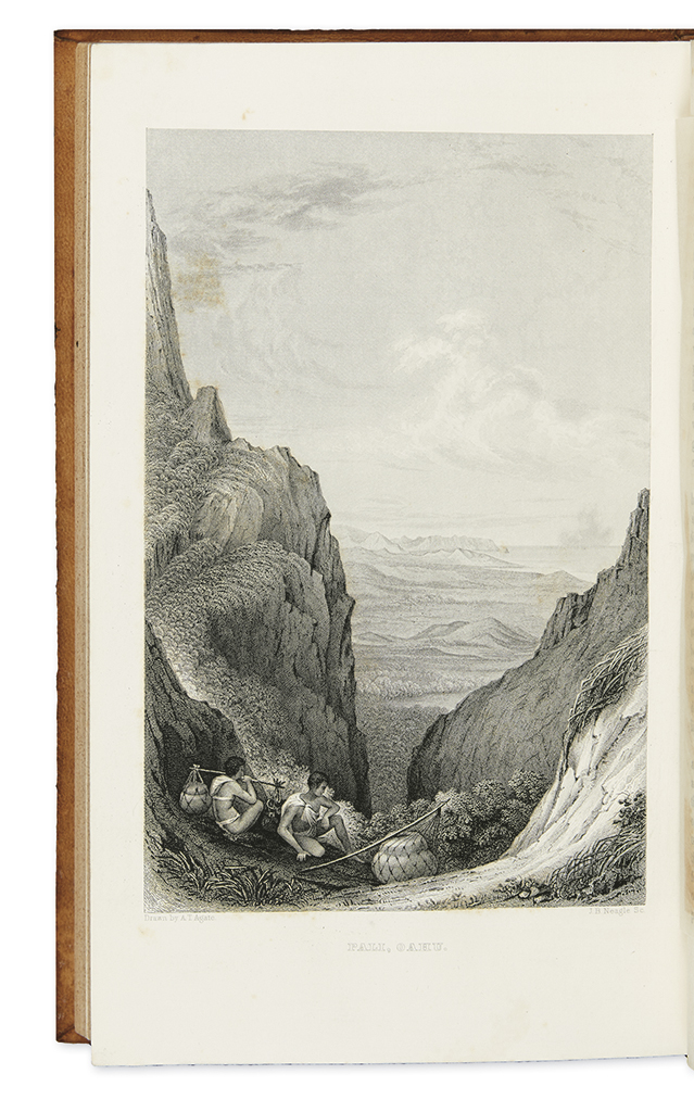
(TRAVEL.) Wilkes, Charles. Narrative of the United States Exploring Expedition. 11 maps, 64 plates, 3 folding tables, numerous text illustrations. 5 volumes. Large 12mo (the size of an 8vo), contemporary calf, minor wear; moderate foxing; lacking half-title in Volume IV. Philadelphia: Lea and Blanchard, 1845

Additional Details

The six vessels under Wilkes's command surveyed thousands of miles of Pacific coast from 1838 to 1842, and made important natural history observations. Covers South America, the coast of Antarctica, the South Pacific, Hawaii, California, Manila, Singapore, and more.
This set is apparently an intermediary state between Haskell's first regular trade edition (2B) and his stereotyped second trade edition (3). It has the complete complement of plates found in 2B, all eliminated in 3; it also includes the final blanks which were eliminated after 2B. However, it does not include the plate lists usually found in 2B, and it includes the additional signature markings in sixes, so it collates as Haskell 3 other than the presence of the plates. It contains the increased complement of 11 maps but no atlas, also corresponding with Haskell 3. See also Ferguson 4209; Forbes, Hawaii 1574; Hill 1867; and Howes W414 ("The first United States scientific expedition by sea") for descriptions of the first regular trade edition.