?Final Price Realized includes Buyer’s Premium added to Hammer Price
Estimate: $ 1,500 - $ 2,000
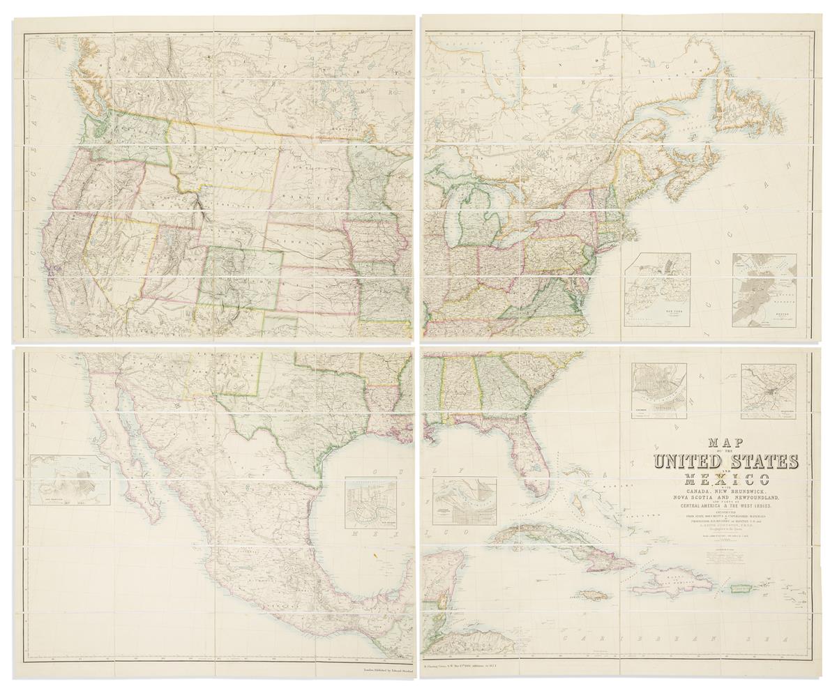
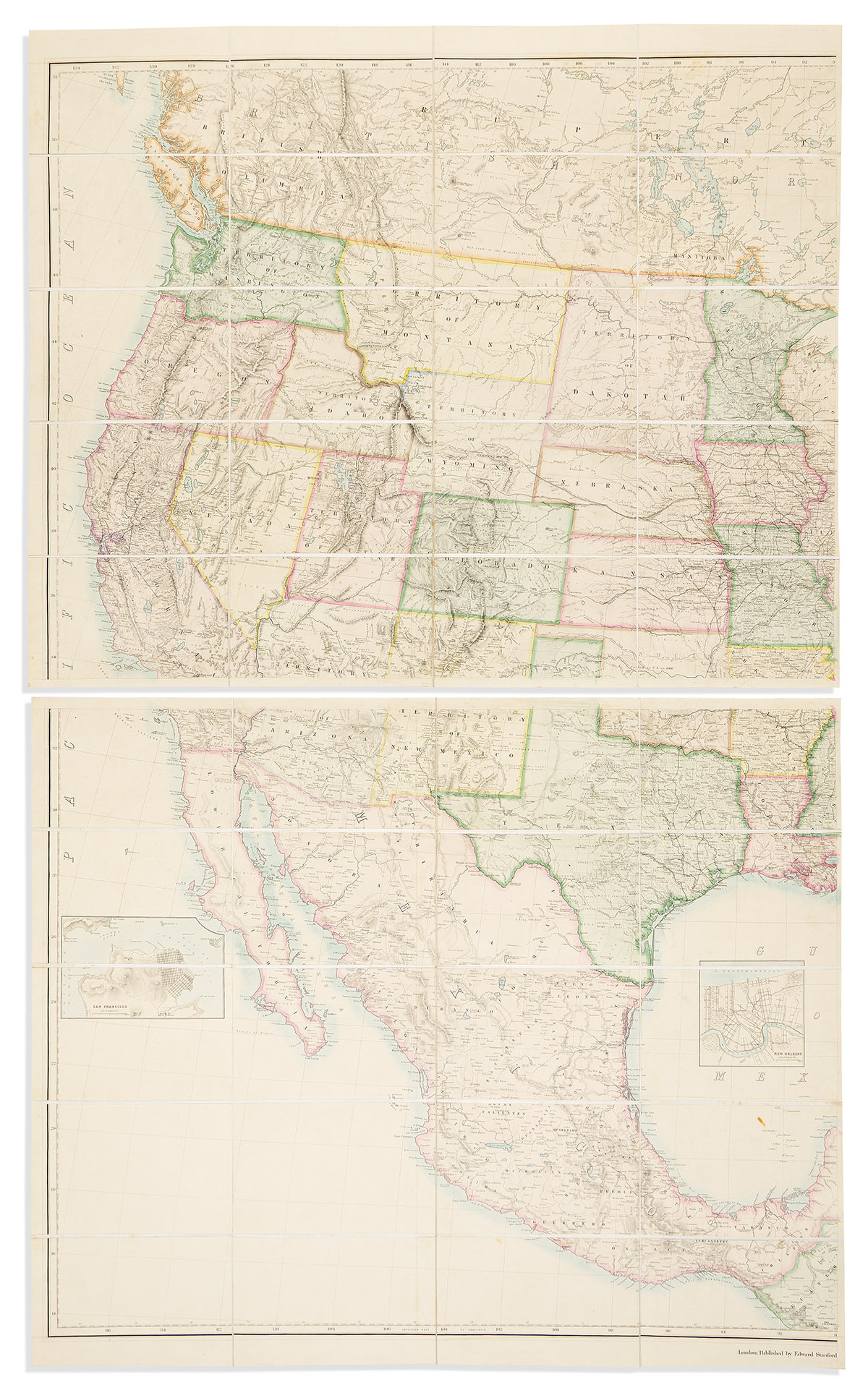
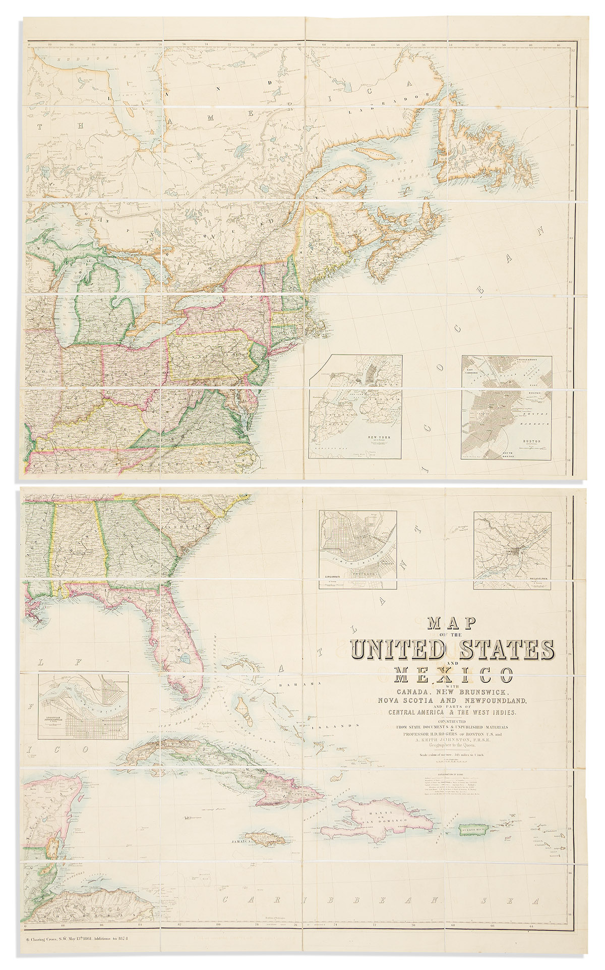
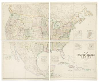
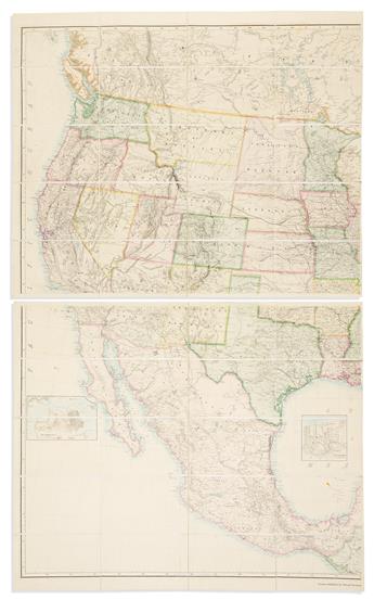
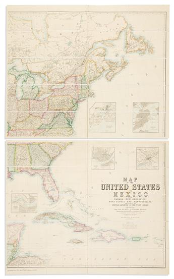
(UNITED STATES.) Henry Darwin Rodgers; and Alexander Keith Johnston. Map of the United States and Mexico with Canada,New Brunswick, Nova Scotia and Newfoundland, and parts of Central America & the West Indies. Constructed from State Documents & Unpublished Materials. Massive hand-colored engraved case map of the United States showing expansive Territories in the Trans-Mississipi West and detailed inset plans of 7 major port cities. 4 sections, approximately 29½x35½ inches each, segmented, mounted on original linen backing with marbled paper self-wrappers and folding into publisher's 8vo format book-styled morocco slipcase; case worn and cover flap separated, map sections with light offset and very occasional spots of foxing. London: Edward Stanford, 1874