Sep 28, 2023 - Sale 2646

Sale 2646 - Lot 274

Unsold
Estimate: $ 2,500 - $ 3,500
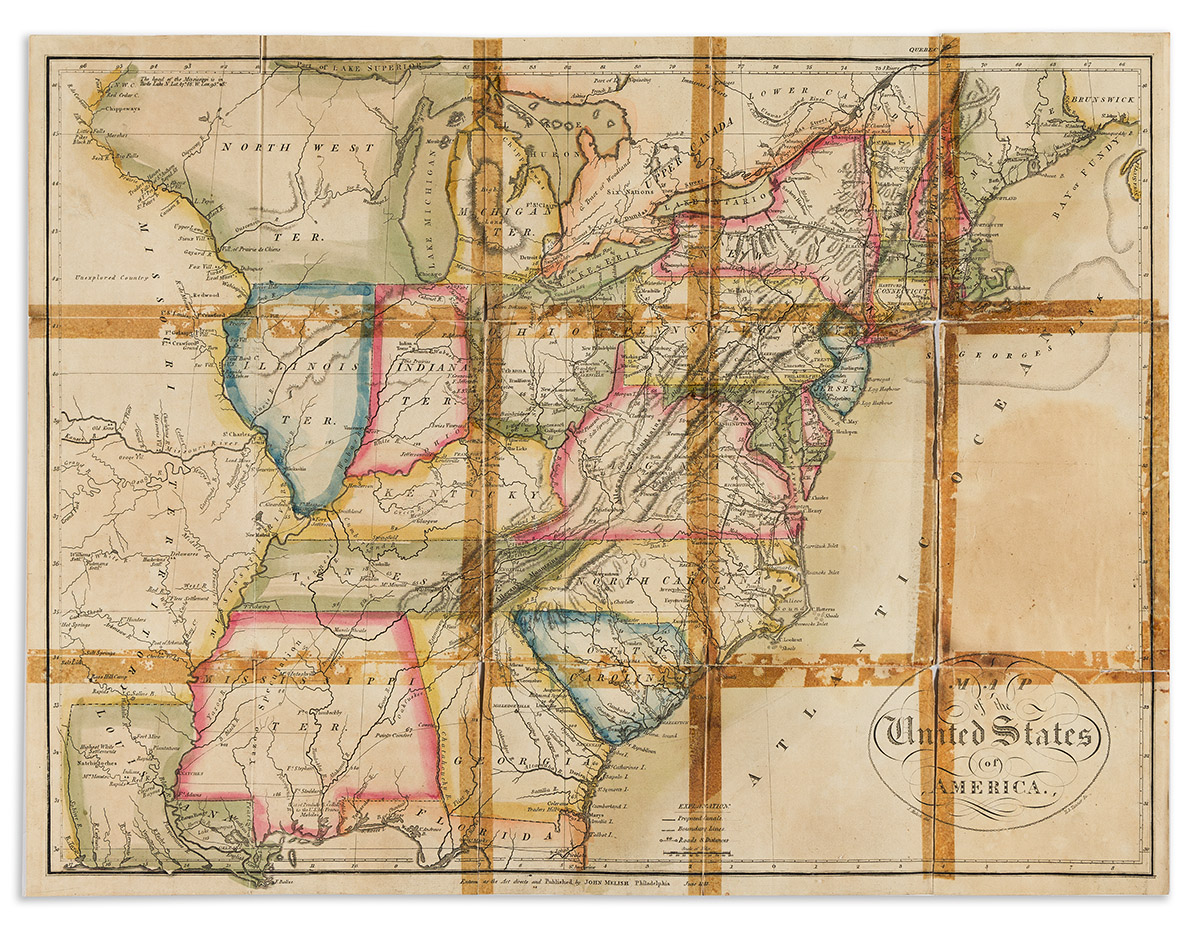
(UNITED STATES.) John Melish. A Statistical Account of the United States . . . from the Census of 1810. Hand-colored folding map. 8, 7-35, [1] pages. 12mo, contemporary 1/2 calf over marbled boards, light staining; text block coming detached, minor dampstaining to text, map detached from pastedown, silked on verso, separations at folds with failed cello tape repairs; early owner's signature on front flyleaf. Philadelphia: G. Palmer, 1813

Additional Details

First edition. The text offers a state-by-state statistical summary, incorporating the newly added but scarcely explored Louisiana Purchase. The map by John Melish, titled simply "A Map of the United States of America," was engraved by H.S. Tanner, and measures 13 1/4 x 17 3/4 inches. Full of period details, such as the "Pro. canal" from Albany to Buffaloe, the "Highest White Settlements" on the Red River just north of Natchitoches, a note dismissing what is now the heart of Iowa as "unexplored country," a note placing the head of the Mississippi at Turtle Lake, and "Yazoo Speculation" sweeping across Mississippi Territory. Chicago and Lake Michigan are misplaced above Indiana Territory, quite distant from Illinois Territory.

Shaw & Shoemaker 29145; not in Graff, not traced in Howes M493, which listed the 1814 edition as first. 5 in OCLC, and one other traced at auction in the past century, at the 1999 Siebert sale.