?Final Price Realized includes Buyer’s Premium added to Hammer Price
Estimate: $ 20,000 - $ 30,000
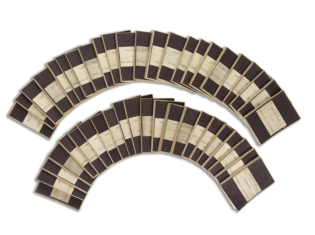
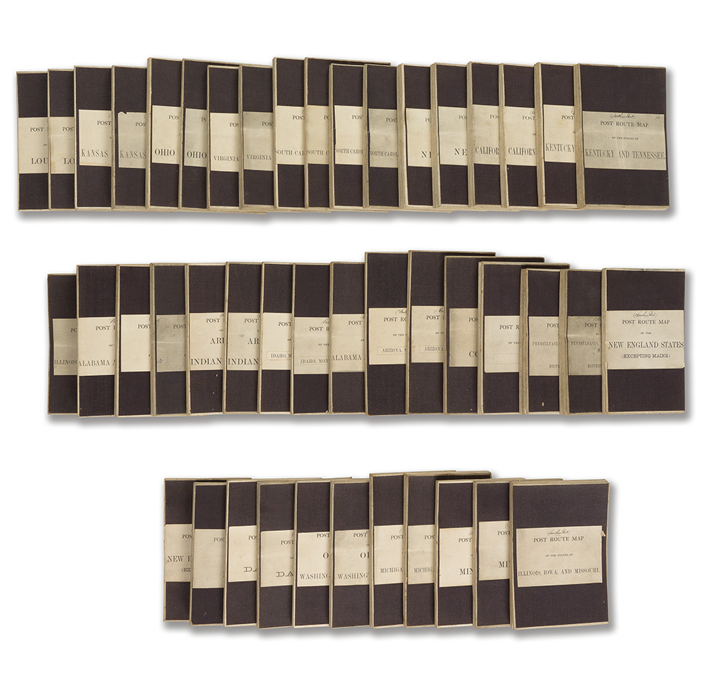
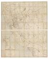
(UNITED STATES.) Nicholson, W. L.; topographer; et al. Collection of Post Route Maps encompassing the contiguous US(excluding Florida). 24 large lithographed folding maps, dissected and laid on 45 linen sheets (all but three maps on two linen sheets), various large sizes; some color printing and outline hand-coloring; original linen and paper title labels, slightest toning in places, all very nice examples. list available. Washington, 1860s-70s (updated to 1880s)
An incredible set of maps documenting the width of the United States in exceptional detail. Large matching sets of post route maps are seemingly unrecorded on the market. The group's fine condition makes it still more desirable. A must-have for the truly serious collector of 19th century American maps.