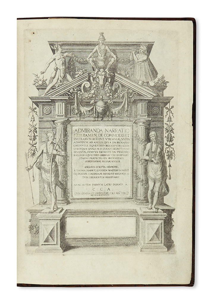
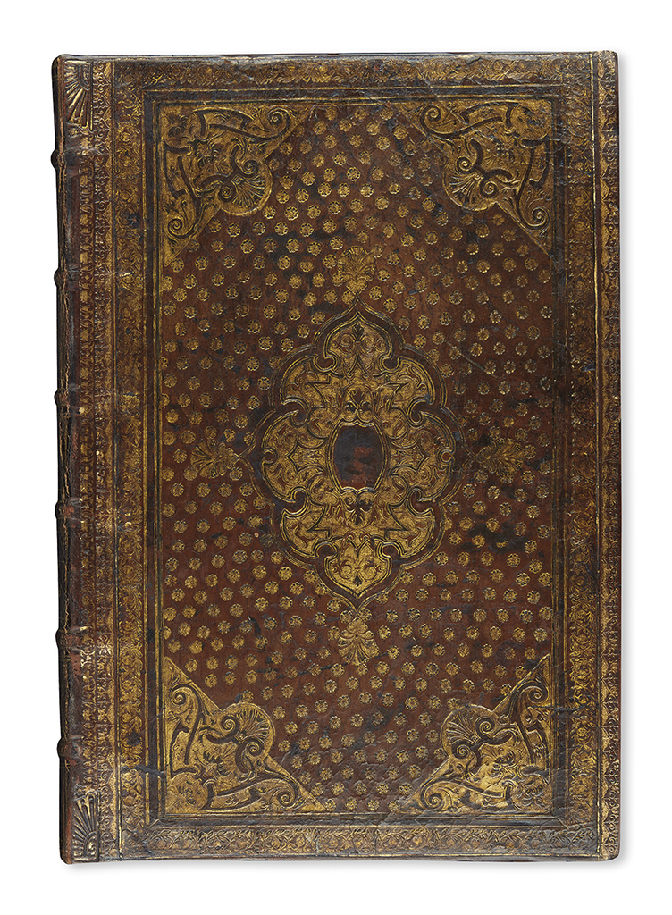
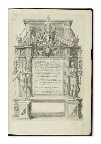
(VIRGINIA.) Bry, Theodore de. Admiranda Narratio Fida Tamen, de Commodis et Incolarum Ritibus Virginiae. Folding map, 28 plates, many of them trimmed as issued. 34 pages including engraved title page, [2], xxiii, v, [3] printed leaves. Folio, contemporary calf, center and corner ornaments lavishly gilt-tooled, minor wear, rebacked and recased to style; endpapers renewed, many of the trimmed plates were originally pasted to the text leaves, and they are now detached and bound in. [Frankfort: Wecheli, circa 1608]
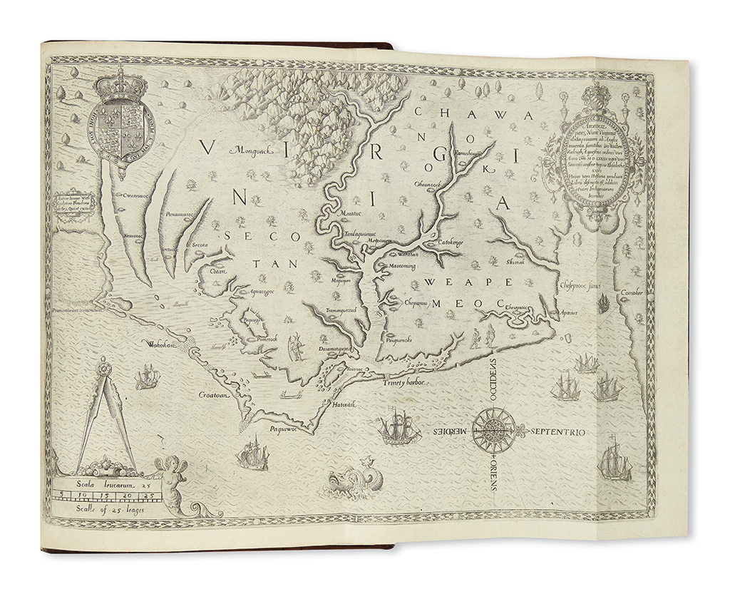
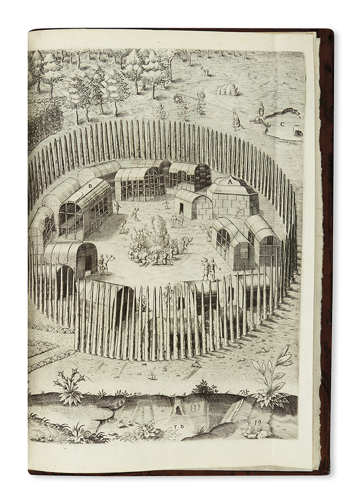
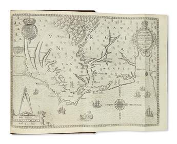
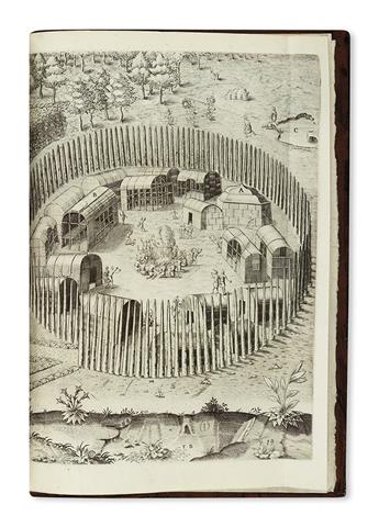
Second Latin edition, third issue, of the first volume of De Bry's Great Voyages. This issue leaves the imprint area blank at the base of the engraved title page. Most of the volume is devoted to a Latin translation of Thomas Harriot's "Briefe and True Report of the New Found Land of Virginia." This account of the Roanoke Colony was written as a promotional tract to attract new settlers. Europe did not learn of the Roanoke Colony's mysterious disappearance until John White returned to England on 24 October 1590. The Virginia text is illustrated with 23 stunning engravings after watercolors by John White, who had commanded the 1585 expedition to Roanoke. It also includes the important double-page map, based on John White's 1585 manuscript, which depicts the stretch of coast from what is now Chesapeake Bay, VA to Cape Lookout, NC. Cumming calls it "the first printed map of this degree of detail and accuracy for any part of the present area of the United States." Burden calls it "one of the most significant cartographical milestones in colonial North American history" and notes that it "records the first English attempts at colonisation in the New World." It also featured the first identification of the Chesapeake Bay on a map (here called "Chesepiooc sinus"). The last five plates and accompanying text are devoted to Picts, most of them heavily tattooed. Burden, Mapping of North America, 76 (second state) and 77; Church 144; Cumming, Southeast in Early Maps 12, 13, plate 14; European Americana 608/78 (variant issue).