?Final Price Realized includes Buyer’s Premium added to Hammer Price
Estimate: $ 2,000 - $ 3,000
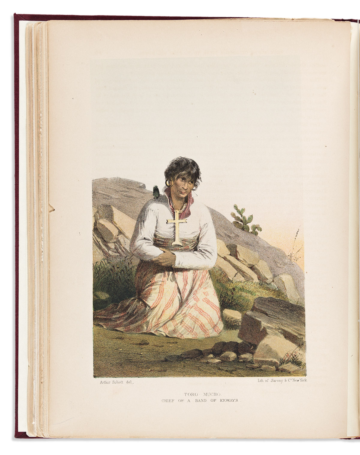
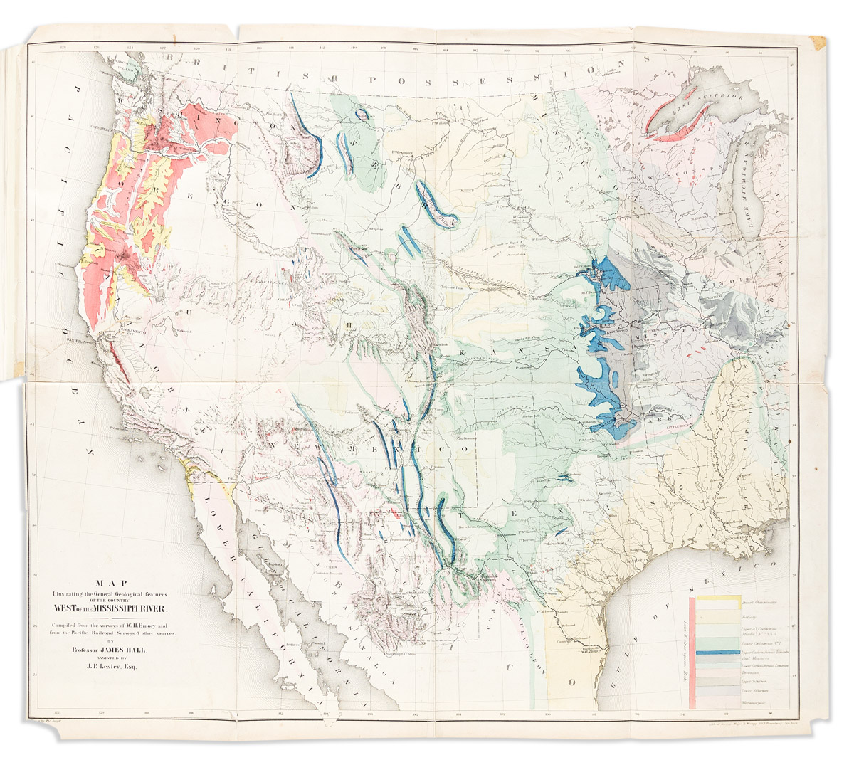
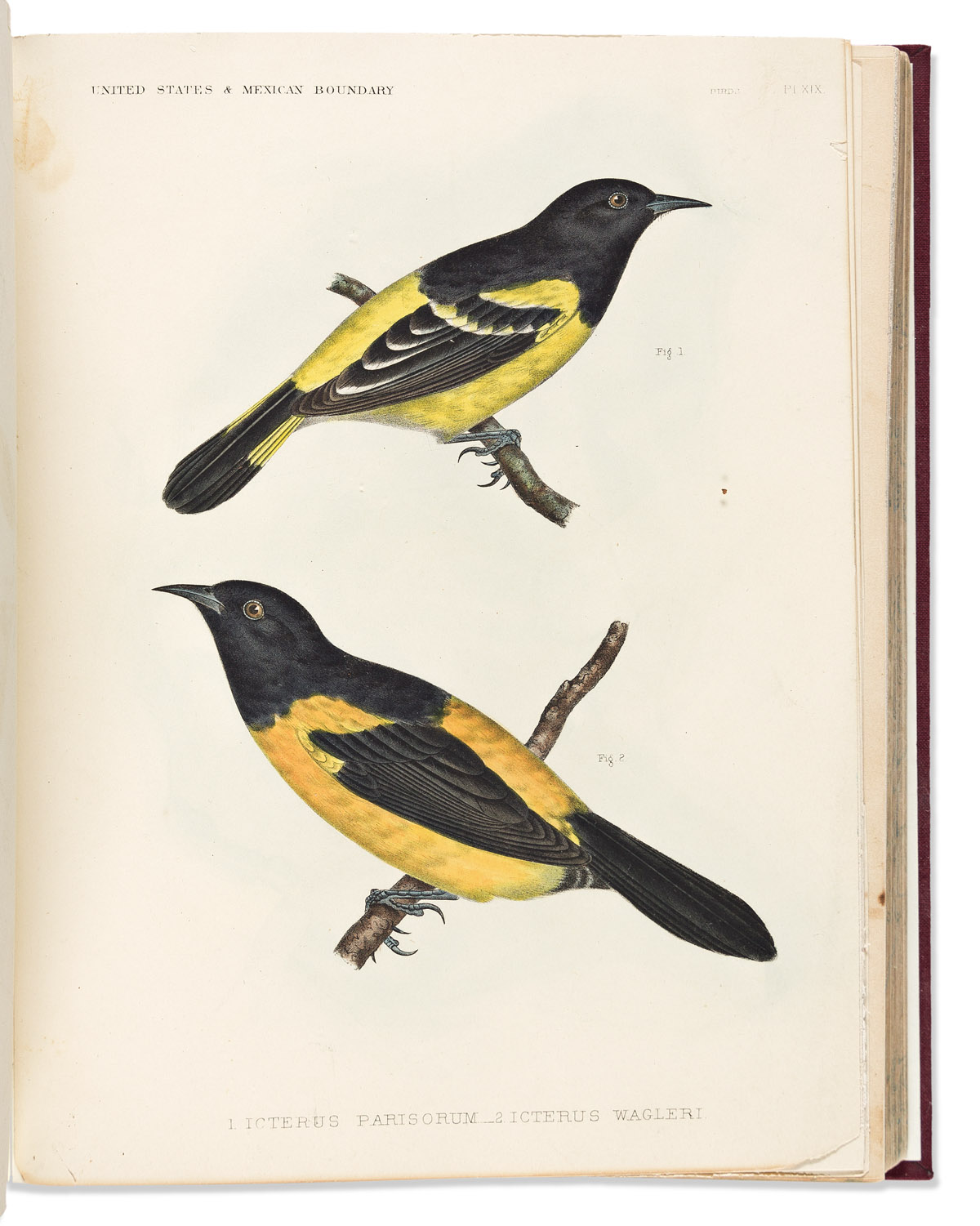
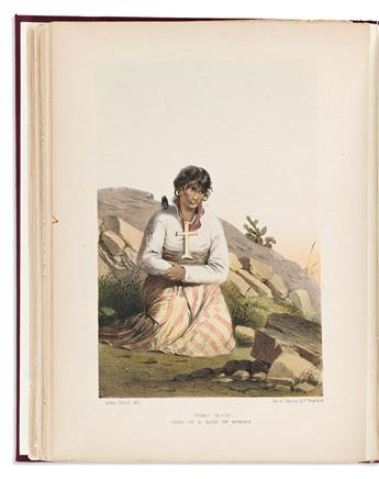
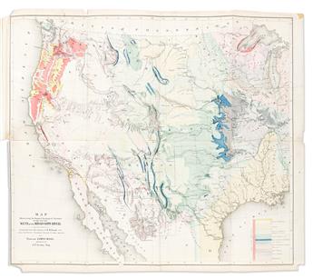
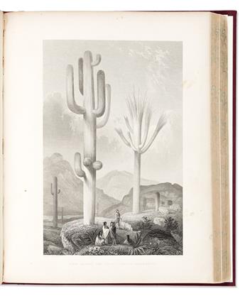
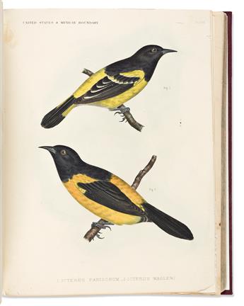
(WEST.) William H. Emory. Report on the United States and Mexican Boundary Survey. 5 folding maps and plans (one hand-colored), 37 hand-colored lithographic plates (laid down on modern stubs), 288 other plates, numerous text illustrations. xvi, 258, viii, 174; 270, 78; [2], 62, 32, [1], 35, 85, ii pages. 2 volumes in 3. 4to, modern cloth; intermittent offsetting and minor foxing, a few paper clip marks, one extraneous leaf bound in to second volume, a few leaves worn with tape repairs. 34th Congress, 1st Session, Senate Ex. Doc 108. Washington, 1857, 1859
First edition of the cornerstone government report on the southwest, with the often absent two-part Volume II. This set includes three plates not recorded in Wagner-Camp and not found in all copies: a colorful "Map Illustrating the General Geological Features of the Country West of the Mississippi River" (facing page I:258); "View of Monument Mountain" facing page I:96; and "View Along the Gila (Cereus Giganteus)" facing the last text leaf in the second volume.
The first half of Volume I is devoted to a general description of the border region, with the remainder devoted to geodetic, geological and paleontological reports. Volume II addresses botany in the first part, and zoology in the separately bound second part. Howes E146; Wagner-Camp 291; Wheat, Transmississippi West III, 822 and pages 242-4.