Apr 15, 2021 - Sale 2564

Sale 2564 - Lot 340

Unsold
Estimate: $ 1,500 - $ 2,500
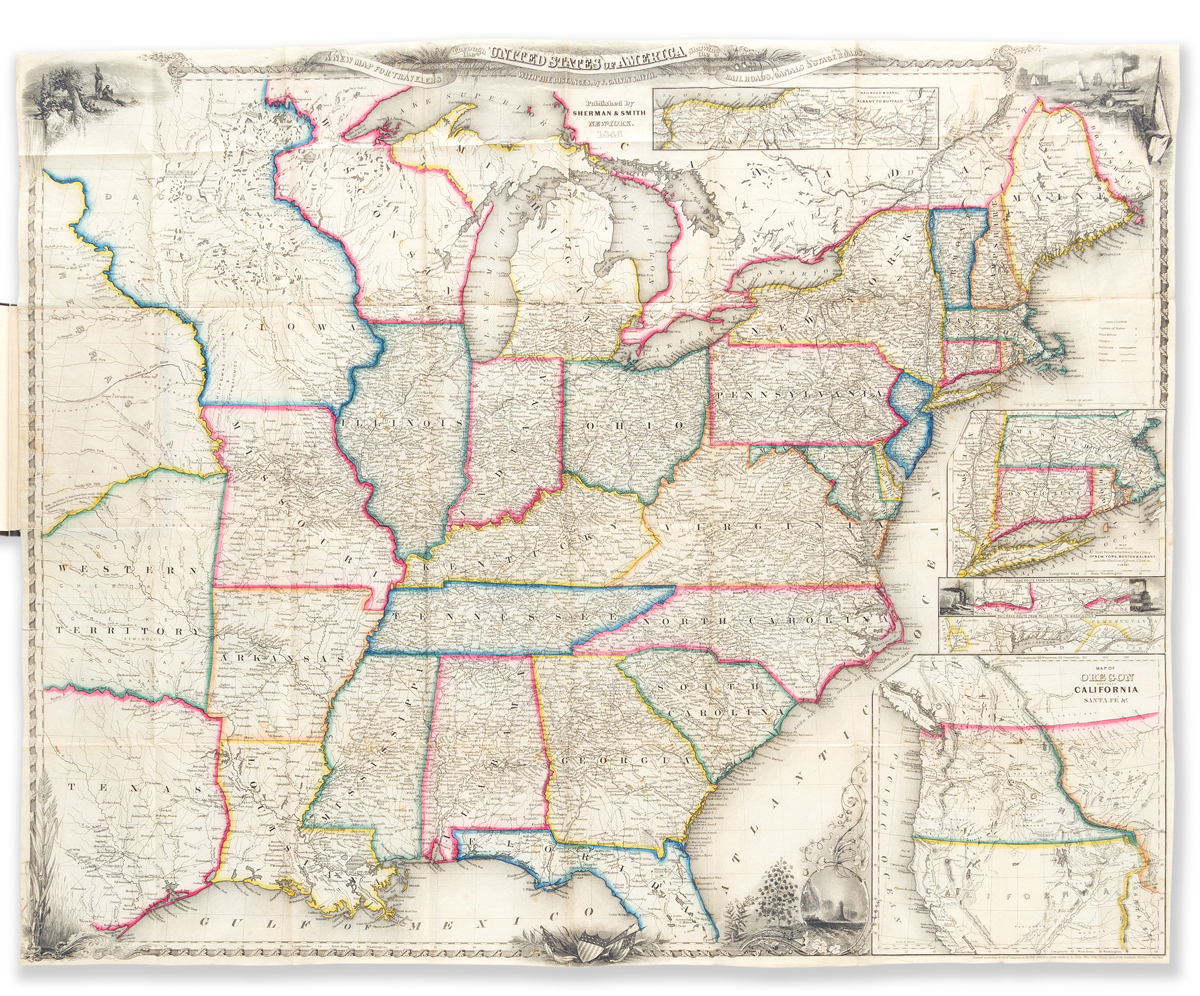
WITH THE FIRST APPEARANCE OF DALLAS ON A MAP (WEST--TEXAS.) J. Calvin Smith. A New Guide for Travelers through the United States . . . Containing all the Railroad, Stage, and Steamboat Routes. Folding map, hand-colored in outline, mounted to rear pastedown. 79 pages. 12mo, publisher's gilt cloth, very skillfully rebacked, minimal wear; lacking front free endpaper, possibly lacking an ad leaf, minimal wear to contents. New York: Sherman & Smith, 1846

Additional Details

The first abbreviated edition of the 233-page "Illustrated Hand-book . . . for Travelers through the United States," which was issued annually from 1846 to 1850. The text consists mainly of distance tables, with some descriptive summary of canals in the rear. The map is 20 1/2 x 26 inches and titled "A New Map for Travelers through the United States of America Showing the Railroads, Canals, & Stage Roads." It extends as far west as Texas. There, quite alone in the wilderness far up the Trinity River, in the smallest italic type, is the frontier settlement of Dallas--believed to be its first appearance on a map. The map also contains several attractive vignettes and 5 inset maps including "Map of Oregon, Northern California, Santa Fe &c." Howes S614; Sabin 82929; Wheat, Transmississippi West 522. None traced in OCLC, though one is held by the American Antiquarian Society.