?Final Price Realized includes Buyer’s Premium added to Hammer Price
Estimate: $ 300 - $ 400
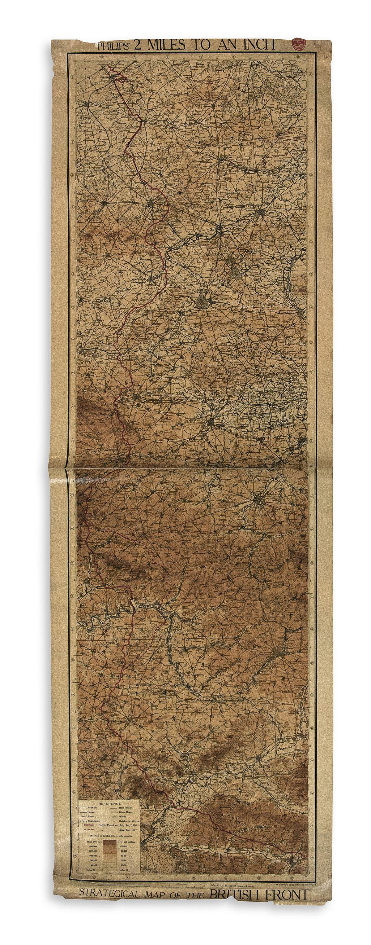
(WORLD WAR I.) George Philip & Son. Philips' 2 Miles to an Inch Strategical Map of the British Front. Large chromolithographed map of northern France and western Belgium comprising the towns of Nieuwpoort, Ypres, Lille, Douai, Cambrai, St. Quentin and Soissons delineating battle front lines as of July 1st, 1916 and March 1st, 1917. Two sheets joined, 67x21 1/4 inches overall, title and scales pasted on; backed on original linen, creased at center (sheet join), edge chipping and closed tears, "compiled from official sources" sticker pasted to upper margin, original wooden rollers detached but present. [London, circa 1917]