Apr 12, 2018 - Sale 2473

Sale 2473 - Lot 240

Price Realized: $ 358
?Final Price Realized includes Buyer’s Premium added to Hammer Price
Estimate: $ 500 - $ 750
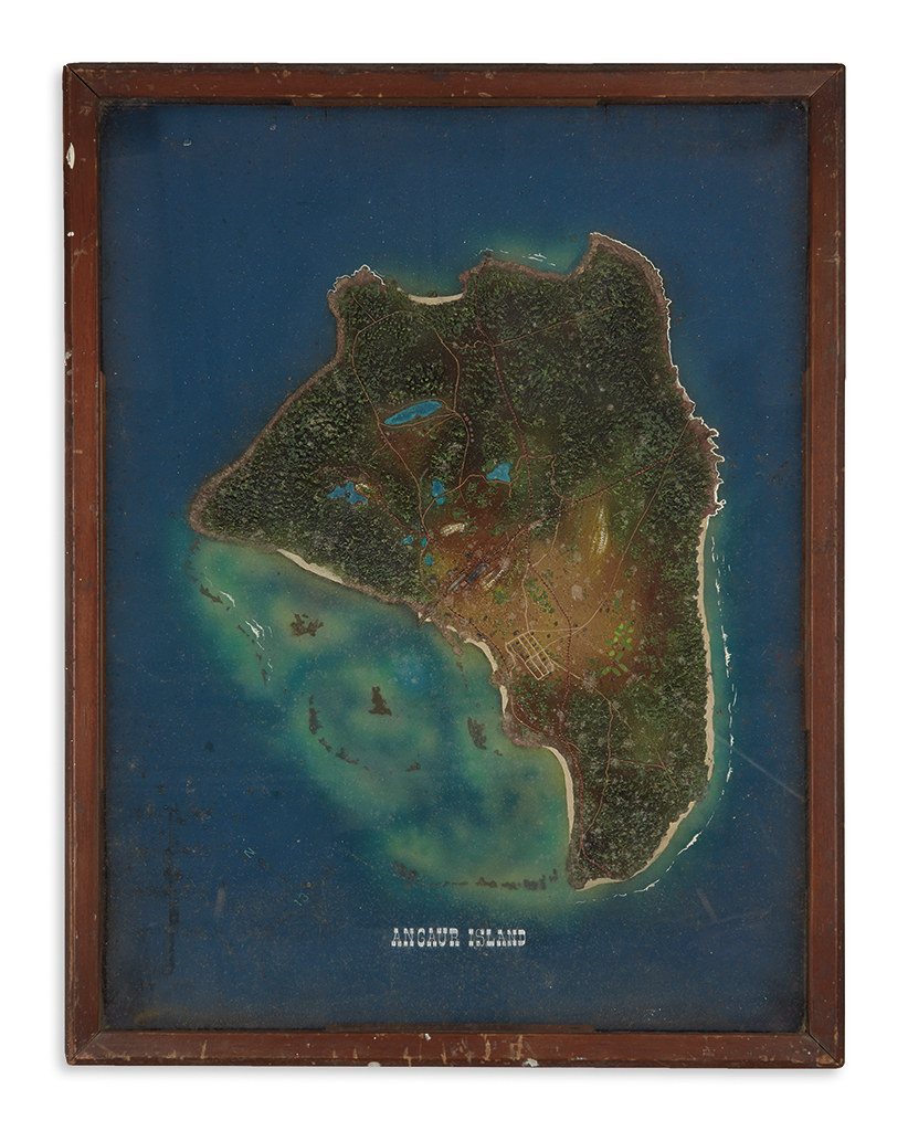
(WORLD WAR TWO.) Relief map of Anguar Island. Painted map on board, 24 x 17 1/2 inches, with buildings, vegetation, hills, scale, and compass rendered in relief in an unknown medium, in frame of 2 inches thickness with raised glass; light soiling on inside of glass, otherwise minimal wear apparent. Not examined outside of frame. Np, circa 1944?

Additional Details

Anguar is a small island (3 square miles) in the island nation of Palau in the western Pacific. It was the site of German and then Japanese phosphate mines from 1908 until the war, and was site of the extended Battle of Anguar in 1944. American forces took the island from the Japanese after prolonged fighting from 11 September to 22 October 1944. This extremely detailed relief map, captioned in English, depicts Anguar as it existed before the assault, and may have been prepared as part of the military planning. Even before the fighting was completed, American Seabees were building a military airstrip that ran half the length of the island, not shown here.