Sale 2610 - Lot 219
Price Realized: $ 28,000
Price Realized: $ 35,000
?Final Price Realized includes Buyer’s Premium added to Hammer Price
Estimate: $ 10,000 - $ 15,000
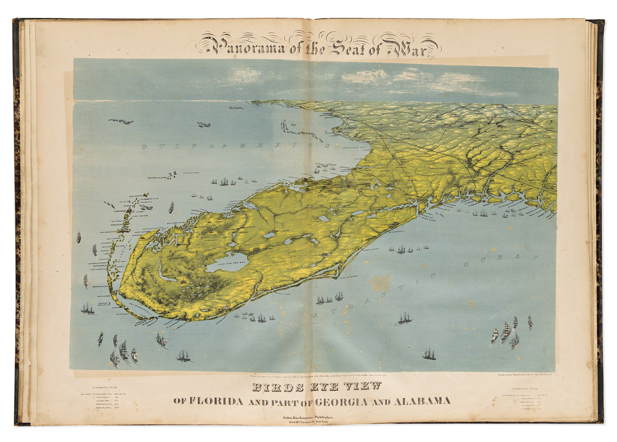
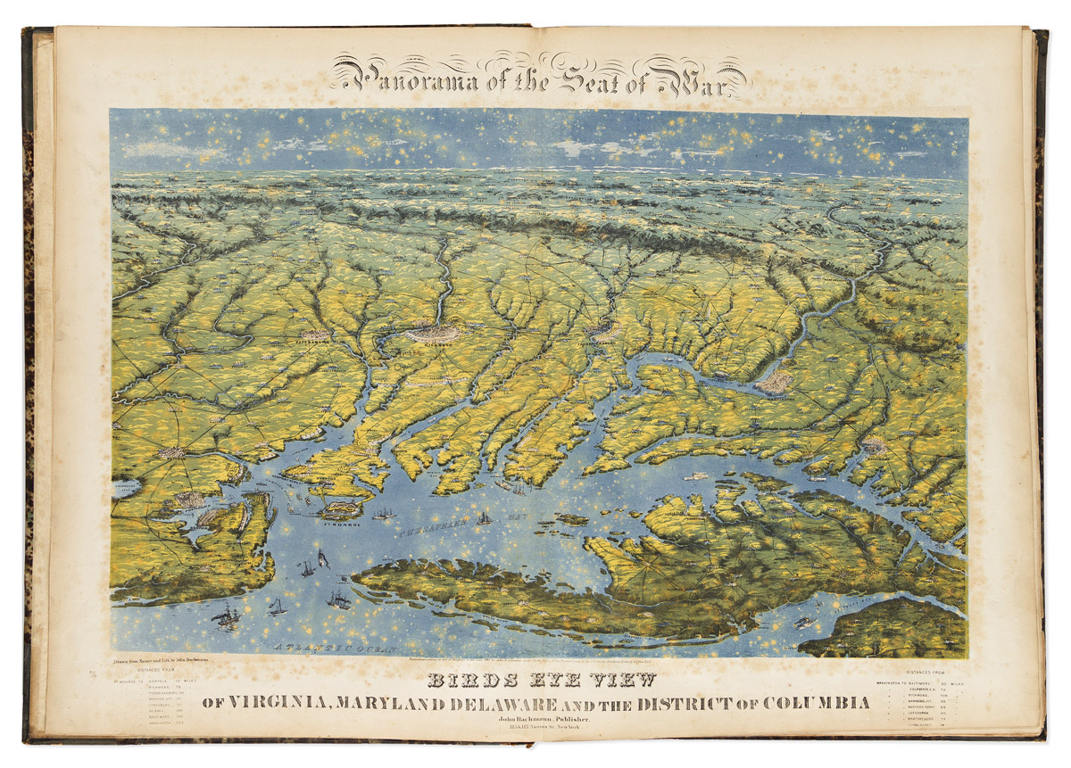
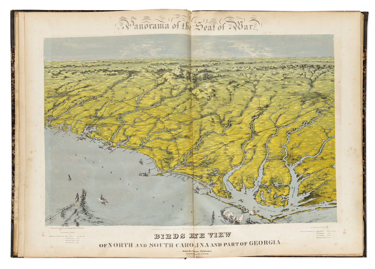
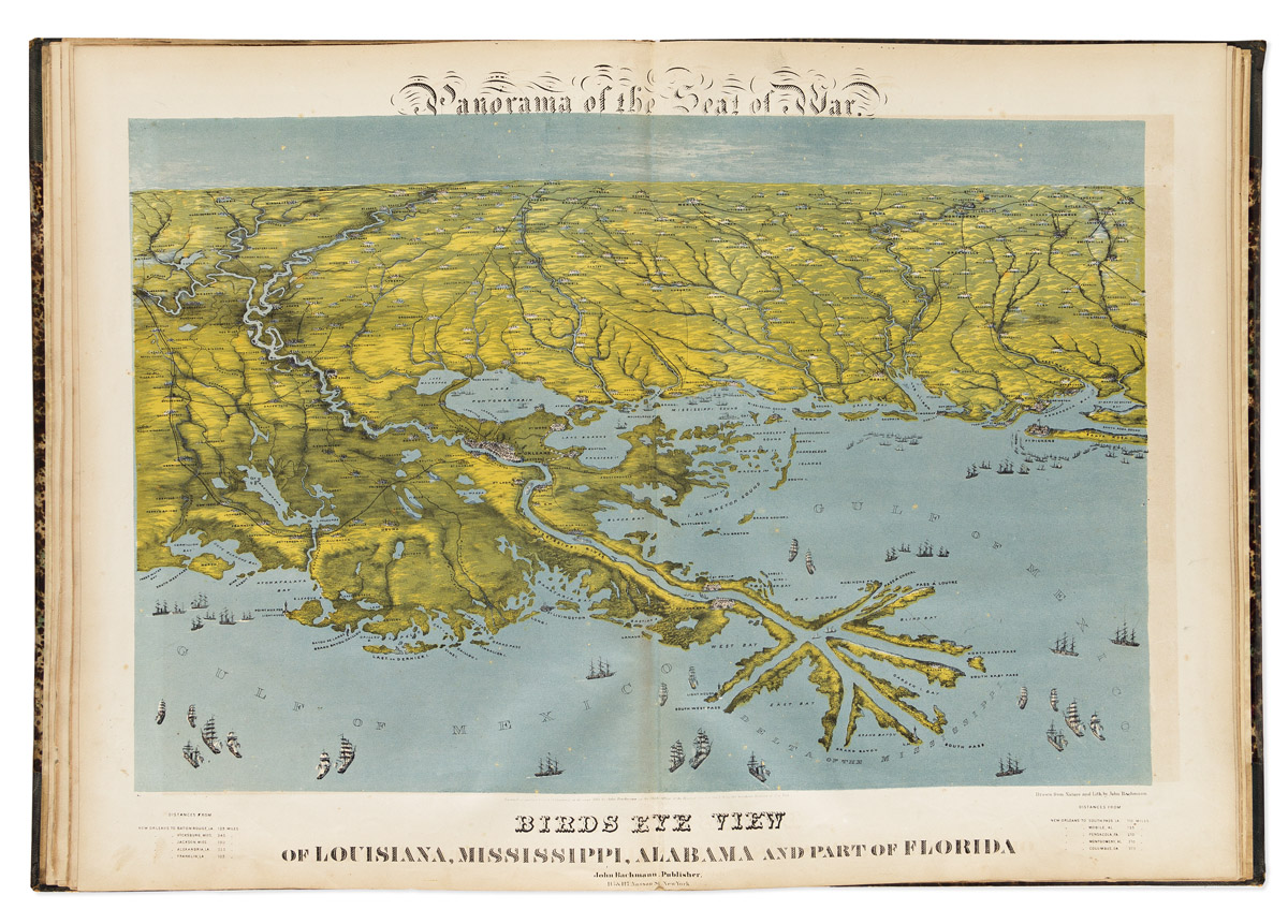
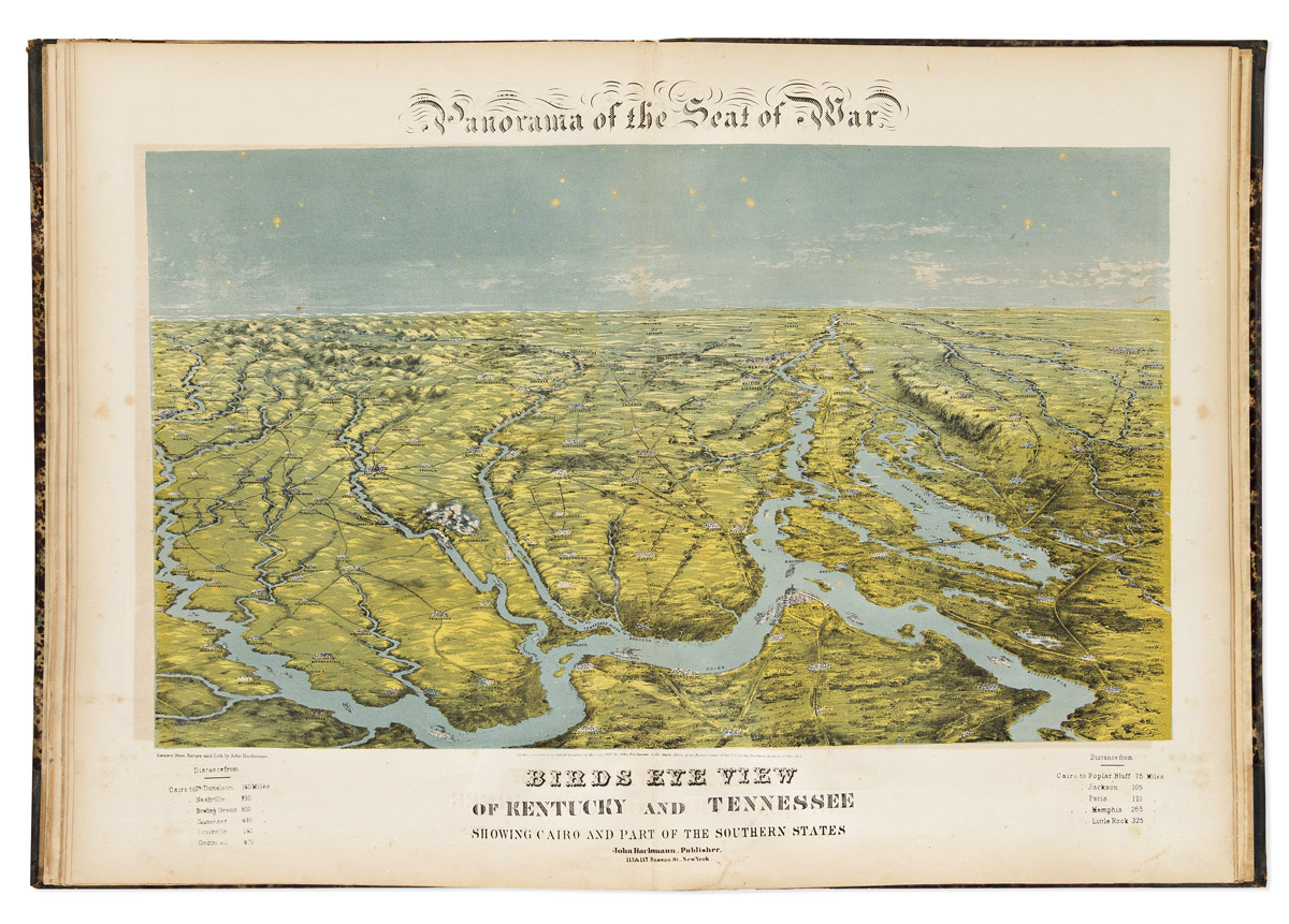
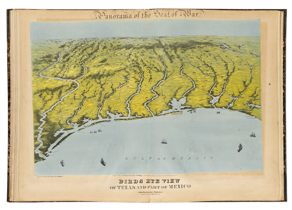
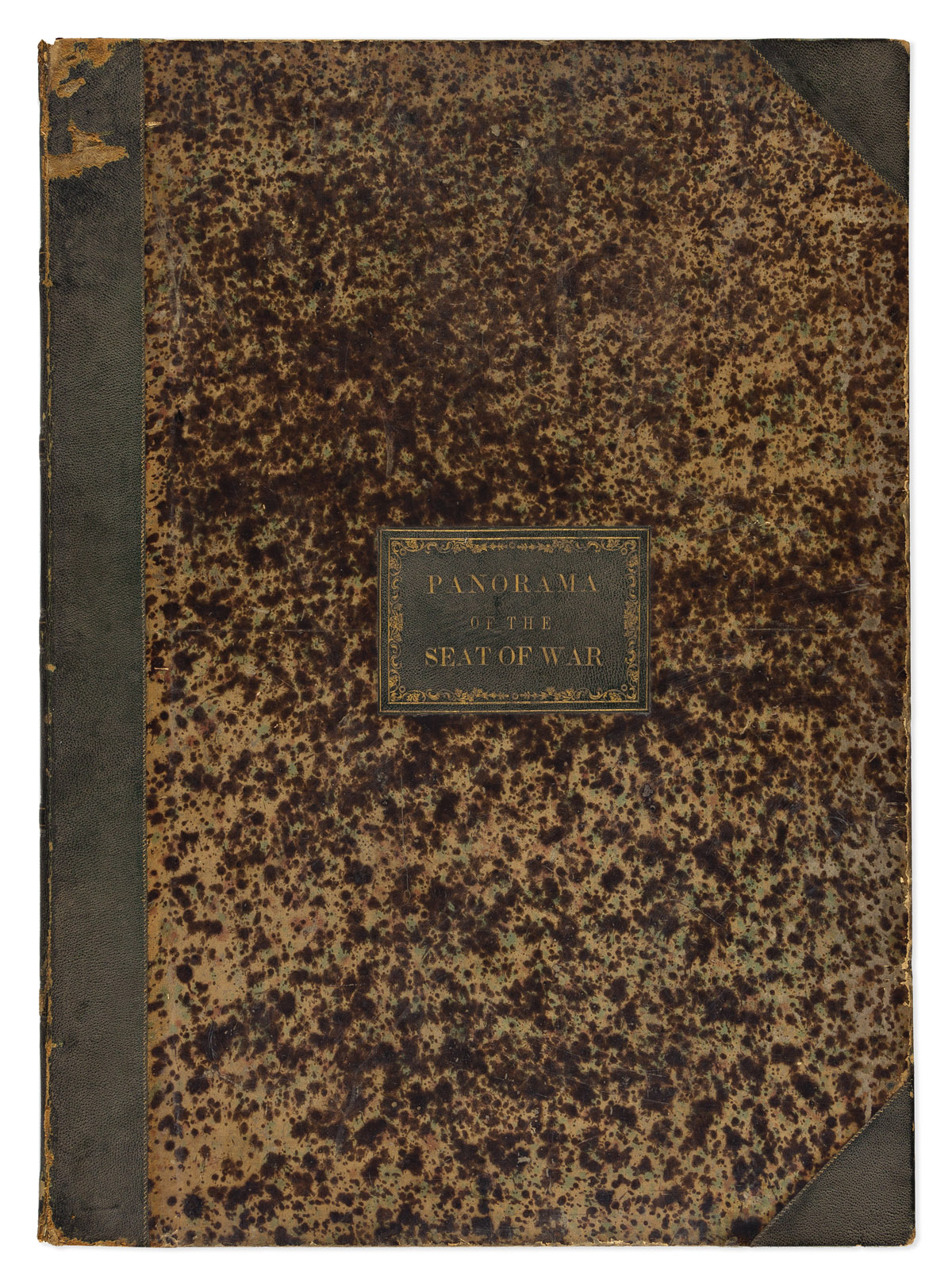
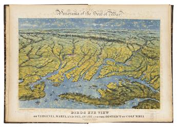
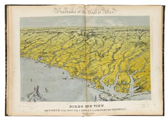
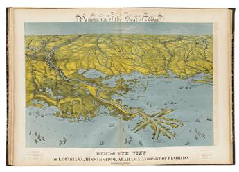
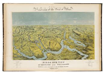
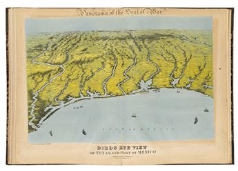
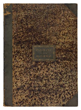
(CIVIL WAR.) John Bachmann. Panorama of the Seat of War. Portfolio of 6 double-page chromolithographed panoramic perspective maps of Confederate states. Folio, 23 1/2x17 inches, contemporary half morocco with gilt title piece to upper cover, moderately rubbed, hinges starting; foxing and offset, upper title of final plate a little shaved; Wagner Free Institute of Science blindstamp and withdrawn ink stamp to verso of first plate. New York, 1861 [-1862]
Additional Details
Rare bound collection of all six spectacular large-scale topographic vistas by nineteenth-century America's most successful viewmaker.
- Birds Eye View of Virginia, Maryland Delaware and the District of Columbia.
- Birds Eye View of North and South Carolina and Part of Georgia.
- Birds Eye View of Florida and part of Georgia and Alabama.
- Birds Eye View of Louisiana, Mississippi, Alabama and Part of Florida.
- Birds Eye View of Kentucky and Tennessee Showing Cairo and Part of the Southern States.
- Birds Eye View of Texas and Part of Mexico.
"The panoramic map in fact became a popular and effective technique for conveying information about the Civil War. Early in 1861, the skillful artist and lithographer John Bachmann of New York City conceived the idea of producing a series of bird's-eye views of the likely theaters of war. These visually attractive panoramas were easily understood and perhaps more meaningful to a public largely unskilled in map reading" - Stephenson, Civil War Maps, page 15; 1.7, 2, 23.5, 117.2, 304.6, 446.8.
Exhibition Hours
Exhibition Hours
Aliquam vulputate ornare congue. Vestibulum maximus, libero in placerat faucibus, risus nisl molestie massa, ut maximus metus lectus vel lorem.


