Jun 03, 2021 - Sale 2571

Sale 2571 - Lot 85

Price Realized: $ 688
?Final Price Realized includes Buyer’s Premium added to Hammer Price
Estimate: $ 400 - $ 600
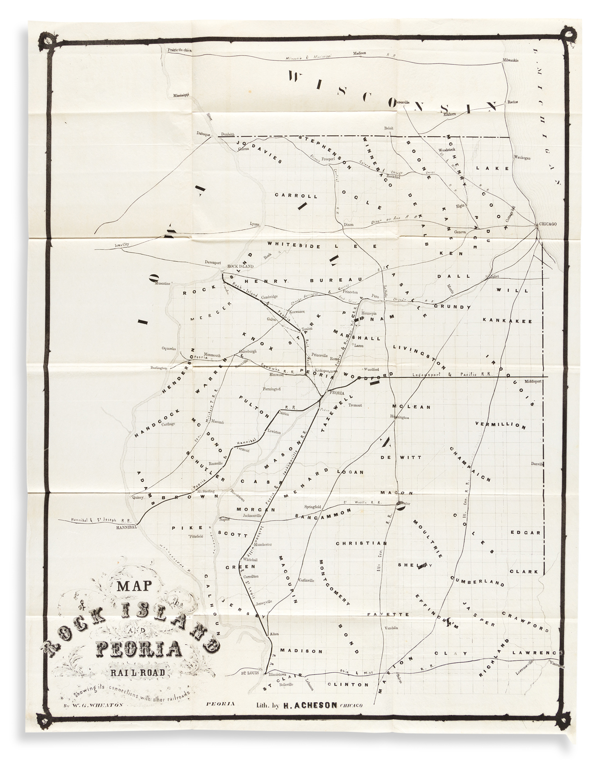
(RAILROADS -- ILLINOIS.) W.G. Wheaton. Map of the Rock Island and Peoria Railroad Showing Its Connections with Other Railroads. Railroad map of Illinois north of St. Louis lithographed by Henry Acheson. 28x21 3/4 inches sheet size, wide margins; old folds, no real flaws. Peoria and Chicago, circa 1855

Additional Details

Uncomplicated railroad map identifying well over a dozen contemporary lines and connections within the state of Illinois. No copies located, however a similar map with updates by Wheaton can be found at the Beinecke Library, Yale University.