Dec 08, 2005 - Sale 2060

Sale 2060 - Lot 1

Price Realized: $ 920
?Final Price Realized includes Buyer’s Premium added to Hammer Price
Estimate: $ 700 - $ 1,000
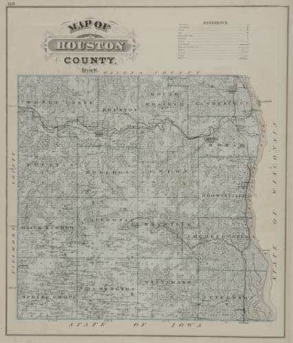
ANDREAS, A. T. An Illustrated Historical Atlas of the State of Minnesota. Profusion of hand-colored mapsheets, numerous lithographed views and portraits of local characters. Folio, 440x370 mm, publisher's 1/2 roan, quite worn, backstrip partially perished, covers loose, front close; page 193 lacking lower outer corner with about 5-mm loss into the printed border, light finger-soiling in margins, otherwise quite bright and clean internally. Chicago, 1874

Additional Details


A landmark production in the field of State atlases. After publishing more than 25 county atlases, Andreas expanded his activities to include the publication of the Illustrated Historical Atlas of the State of Minnesota in 1874. This work introduces a new atlas format and an innovative distribution policy for such publications. For Andreas the atlas of Minnesota was a daring venture. The state had entered the union only in 1858, 16 years prior to the publication of Andreas' atlas and compilation data was meager - maps and atlases had been published for only two or three Minnesota counties. Andreas organized and directed an elaborate collecting, surveying, compiling, and drafting operation. Surveyors were sent into the field. For areas previously surveyed by the U.S. General Land Office, the official plats were used as bases. Concurrent with these mapping operations, the state was thoroughly worked by skilled and aggressive canvassers who solicited subscriptions for the atlas and contracts for biographies, portraits and sketches. At the peak of operations more than one hundred Andreas employees were engaged in various activities throughout the state. This Minnesota atlas is scarcer than Andreas' Atlas of Iowa. Ristow, pages 434-435; Rumsey 17.