Dec 08, 2016 - Sale 2434

Sale 2434 - Lot 44

Price Realized: $ 6,500
?Final Price Realized includes Buyer’s Premium added to Hammer Price
Estimate: $ 2,000 - $ 3,000
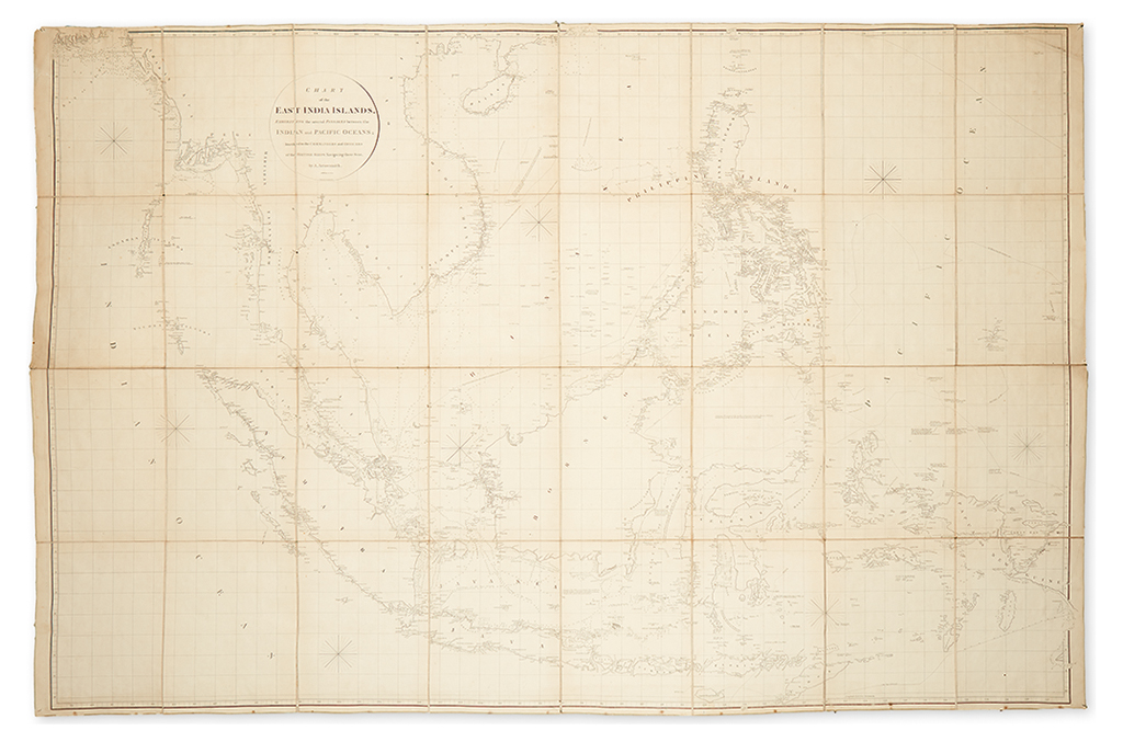
ARROWSMITH, AARON. Chart of the East India Islands Exhibiting the Several Passages Between the Indian and Pacific Oceans; Inscribed to the Commanders and Officers of the British Ships Navigating those Seas. Large engraved map of the East Indies, dissected into 32-sections, mounted on linen, silk edged. 50 1/2x76 1/2 inches; light toning, small tack holes in each of the four corners, small amount of wear to linen at a few intersections, areas of selvage frayed or missing, generally very good. London, 1800 [but 1809]

Additional Details

Arrowsmith's outstanding four sheet chart of Indonesia in a folding format, detailing the best trade routes and seasons for English navigation through the South China Sea into Canton and the Philippines. One of the most accurate navigational charts of the region from the turn of the 19th century. From a contemporary account: "This is an important chart, and Mr. Arrowsmith's talents are singularly adapted to hydrography… It would be fruitless to enlarge further on the subject, as Mr. Arrowsmith's name is sufficient recommendation of a chart; and this becomes the more important from the celebrated commercial advantages of the countries delineated, and the intricacy of the navigation amidst the multiplicity of islands, rocks, and shoals: hence a chart of this portion of the globe may perhaps be regarded as the utmost trial of the author's abilities in this department; and we doubt not that mariners will approve our recommendation of this chart to their particular attention." (The Critical Review, vol. XXXIII, p. 567. London, 1801.)