Jun 07, 2017 - Sale 2450

Sale 2450 - Lot 12

Price Realized: $ 18,750
?Final Price Realized includes Buyer’s Premium added to Hammer Price
Estimate: $ 20,000 - $ 30,000
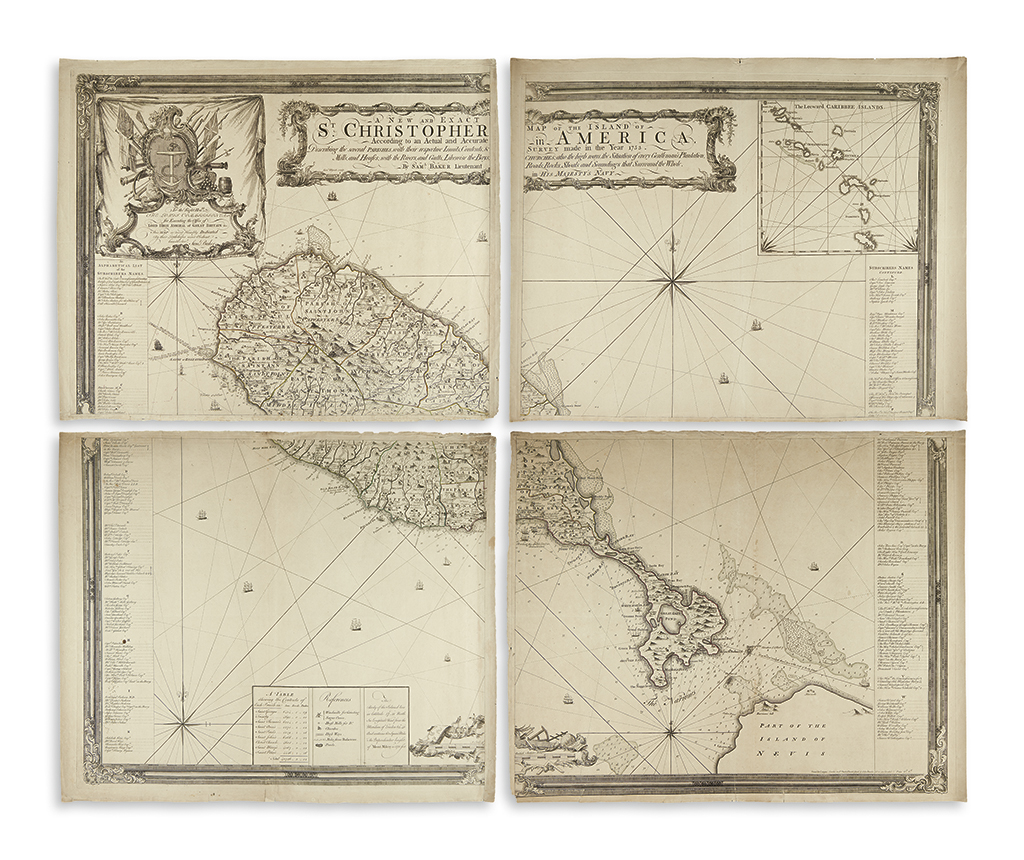
BAKER, SAMUEL. A New and Exact Map of the Island of St. Christopher in America, According to an Actual and Accurate Survey Made in the Year 1753. Describing the Several Parishes with their Respective Limits, Contents, & Churches, also the High Ways, the Situation of every Gentleman's Plantation, Mills and Houses; with the Rivers and Gutts. Likewise the Bays, Roads, Rocks, Shoals and Soundings that Surround the Whole. Large engraved map of St. Kitts on four separate untrimmed folio sheets. Engraved by James Mynde. Approximately 24x30 inches each sheet size; approximately 47 1/2x59 inches overall; ample margins; original outline hand-color; minor edge wear with a few short tears. London: Printed for Carington Bowles in St. Pauls Church Yard, & John Bowles No. 13 in Cornhil, [1753]

Additional Details

A remarkable example of this rare and important map, preserved as printed with the sheets untrimmed and unjoined. The "detailed and carefully executed map" (Sellers and Van Ee) shows the island of St. Christopher, or St. Kitts, divided into parishes with a wealth of early information relating to the houses, churches, forts, sugar mills and individual properties; soundings, shoals, ports and bays are delineated along the coast-line with the capital of Basseterre Town appearing in the lower center of the map. The title, scale and dedication to the Lords Commissioners of the Navy are presented in an attractive Baroque ornamental style. An inset of the "Leeward Caribbee Islands" appears at the upper right; a list of subscriber's names including government officials, agencies and all the major early planters of the island appear in columns along either side of the map. Tooley, "Printed Maps of St. Kitts, St. Lucia & St. Vincent" (MCS 81), 28; Sellers & Van Ee 1985.