Jun 07, 2017 - Sale 2450

Sale 2450 - Lot 228

Price Realized: $ 18,750
?Final Price Realized includes Buyer’s Premium added to Hammer Price
Estimate: $ 15,000 - $ 20,000
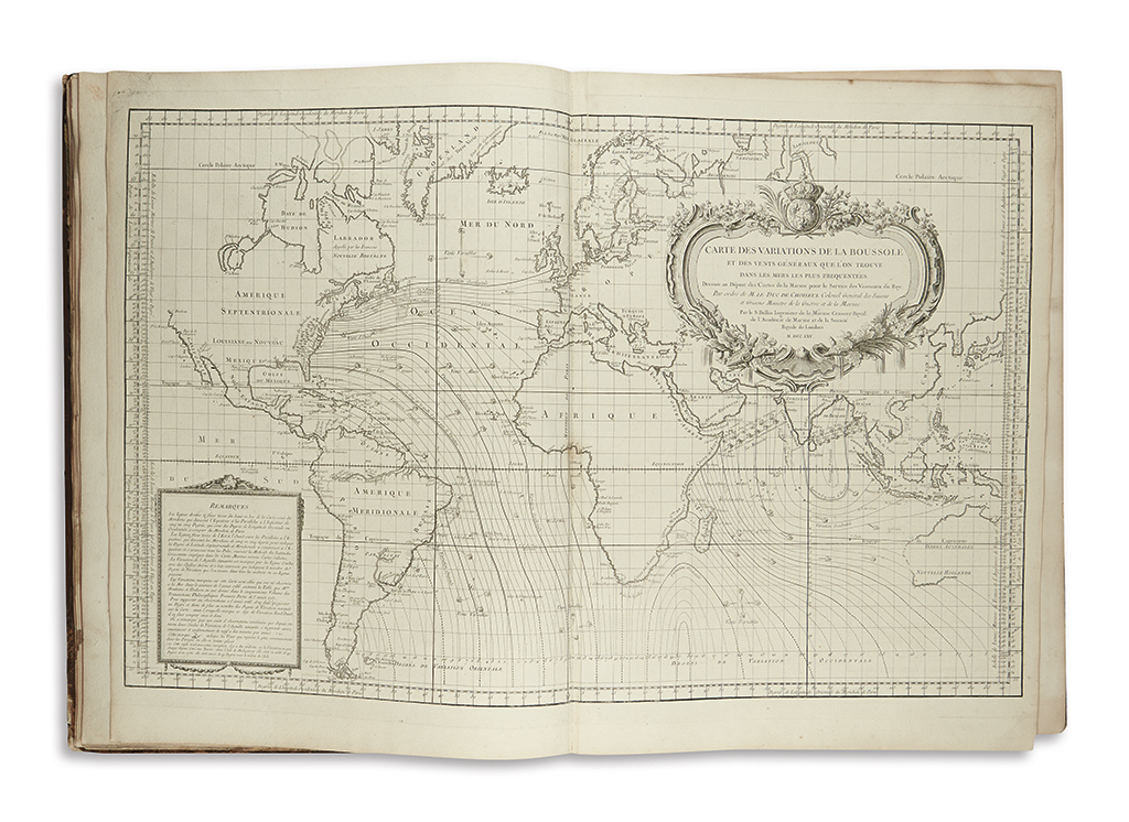
BELLIN, JACQUES-NICOLAS. L'Hydrographie Françoise recueil des cartes générales et particulieres qui ont êté faites pour le service des vaisseaux du Roy. Par ordre des Ministres de la Marine depuis 1737 jusqu'en 1765. 92 engraved charts, mostly double-page, engraved plate of national maritime flags, two engraved title-pages, engraved allegorical frontispiece. 2 volumes. Large folio, 25x19 inches, contemporary mottled calf, worn, hinges split but holding, spine and corner leather defective; three charts with original outline hand-color; dampstaining to volume 1 title, frontispiece and flag plate, smaller areas of light dampstain throughout keeping mostly to the margins or gutter, few minor marginal tears and stains, chart of the Mediterranean with small hole near gutter. Paris, circa 1770

Additional Details

Large atlas of Bellin's excellent marine charts of the world. Bellin served as the chief cartographer to the French naval ministry and for his apt skill was rewarded with an appointment as the official hydrographer to King Louis XV. In this position he was allowed access to the most recent and up-to-date information of the day. As a result, Bellin was able to produce the most precise and accurately detailed French seafaring charts of his time. A sense of scientific authority, accuracy and balanced artistic appeal is demonstrated in each plate. The charts in the present atlas date between 1740 and 1770. Phillips 587; Sabin 4554.