Dec 07, 2023 - Sale 2655

Sale 2655 - Lot 23

Price Realized: $ 1,250
?Final Price Realized includes Buyer’s Premium added to Hammer Price
Estimate: $ 700 - $ 1,000
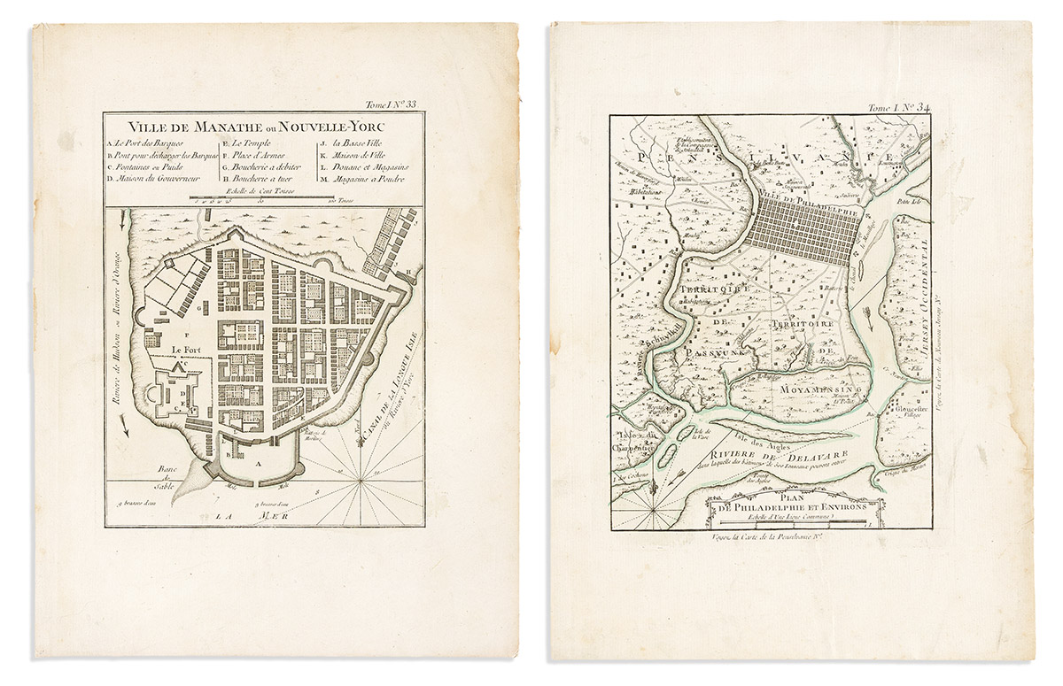
BELLIN, JACQUES-NICOLAS. Two eighteenth-century engraved city plans (New York and Philadelphia) from Le Petit Atlas Maritime. 12 1/2x9 1/2 inches each sheet size, wide margins; original hand-color in outline; early linen backing, dampstained but would conserve nicely if desired. Paris, 1764

Additional Details

- Ville de Manathe ou Nouvelle-Yorc. "...the earliest printed plan of the city acquirable by the collector today" -- Augustyn & Cohen, Manhattan in Maps, pages 50-51.

- Plan de Philadelphie et Environs. "...somewhat north of the grid of city streets but extended south below the juncture of the Schuylkill with the Delaware... the identifications of Bellin's points of interest are quaint and the original hand coloring adds to the decorative quality of this small map" -- Snyder, City of Independence, pages 60-61.