Jun 07, 2017 - Sale 2450

Sale 2450 - Lot 25

Price Realized: $ 2,000
?Final Price Realized includes Buyer’s Premium added to Hammer Price
Estimate: $ 2,000 - $ 3,000
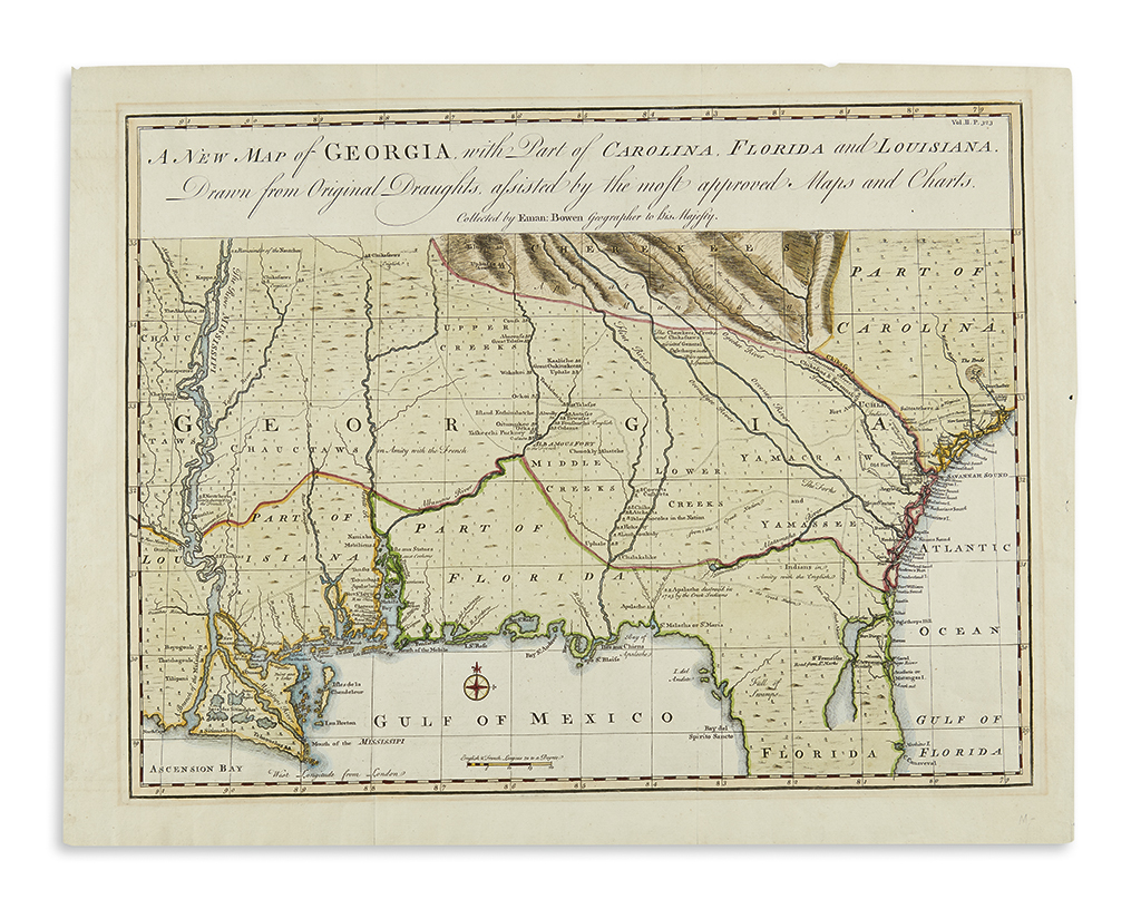
BOWEN, EMANUEL. A New Map of Georgia, with Part of Carolina, Florida and Louisiana. Engraved folding map of the American Southeast. 16 1/4x21 inches sheet size, wide margins; hand-colored in full; faint mat stain, deckle edges on three sides, stitching stab marks at right edge. London, 1748

Additional Details

Scarce colonial map of the Southeast, originally appearing in John Harris' Navigantium atque Itinerantium Bibliotheca or, Complete Collection of Voyages and Travels. Compiled from source maps and published little more than a dozen years after the founding of the colony, Bowen presented an entirely new map for the period, showing Georgia extending from the Atlantic as far west as the Mississippi River. Detailed information can be seen along the coast from Charleston to New Orleans, while much of the expansive interior is concerned with the settlements, the "Amity", and the trading roads of the Creek, Choctaw and Chickasaw tribes. Cumming 267.