?Final Price Realized includes Buyer’s Premium added to Hammer Price
Estimate: $ 20,000 - $ 30,000
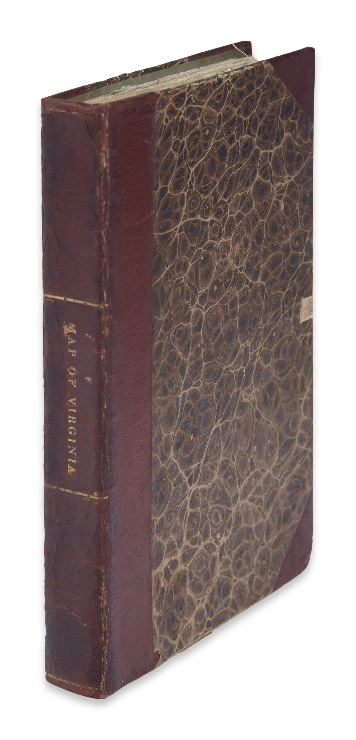
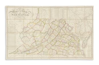
BOYE, HERMAN. A Map of the State of Virginia Reduced from the Nine Sheet Map of the State, in Conformity to Law. Large engraved case map of Virginia. 31 1/2x49 1/2 inches, dissected into 40 segments mounted on original linen with pale-blue silk selvage, folding into marbled paper self-wrappers; complete with original half morocco 8vo format case. Very fine original outline hand-color by county; minor selvage fray, but on the whole an exceptional, practically fault-less example. [Philadelphia]: H.S. Tanner and E.B. Dawson, 1827
1827 edition of one of the most important maps of the state of Virginia published in the 19th century. The map is a reduction of a virtually unobtainable 9-sheet version from a year earlier. A re-issue from 1859 makes an occasional appearance on the market, but an example of the present 1827 edition has not been publicly recorded for sale since a 1963 Edward Eberstadt catalog.
Finely engraved by Tanner and Dawson, a map containing such accuracy and detail had never before been attempted and certainly could not have been realized without the recommendation and financial support of the Virginia legislature. The state passed an act in 1816 authorizing the creation of an official map of the state. Supported by Thomas Jefferson, John Wood was initially selected to compile a county by county survey of the state. On his death in 1822, Wood was succeeded by Herman Boye. The project took 10 years to complete, culminating in this map, the prototype for all maps of Virginia over the next several decades. In 1924, historian Fairfax Harrison described the map as "altogether a credit to the Commonwealth. Not only does it show the physical features of the country, mountains, streams and roads, but it shows them correctly for the first time on any map." Ristow 121-123; Stephenson & McKee pages 121-124; Rumsey 3130.