Dec 05, 2017 - Sale 2464

Sale 2464 - Lot 25

Price Realized: $ 2,750
?Final Price Realized includes Buyer’s Premium added to Hammer Price
Estimate: $ 2,500 - $ 3,500
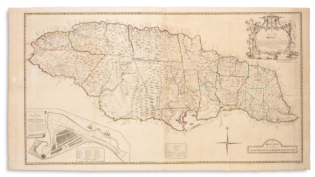
BROWNE, PATRICK. A New Map of Jamaica, In Which the Several Towns, Forts, and Settlements are Accurately Laid Down... the Greatest Part Drawn or Corrected from Actual Surveys Made by Mr. Sheffield and Others, from the Year 1730 to the Year 1749. Large engraved folding map on four sheets joined. 29x54 inches overall sheet size, wide margins; original outline hand-color; a nice example with small marginal tears and no major faults. London, 1755

Additional Details

First state with the imprint of John and Carington Bowles. The key locates towns, churches, forts, taverns and gentlemen's seats along with ginger, coffee and indigo settlements. "The first large-scale map of Jamaica" (Kapp, The Printed Maps of Jamaica up to 1825, MCS 42, 71.)