?Final Price Realized includes Buyer’s Premium added to Hammer Price
Estimate: $ 4,000 - $ 6,000
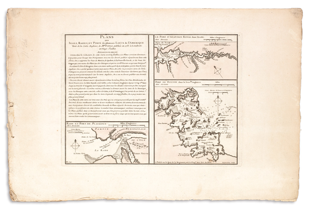
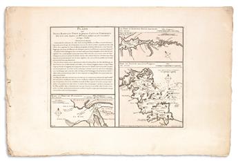
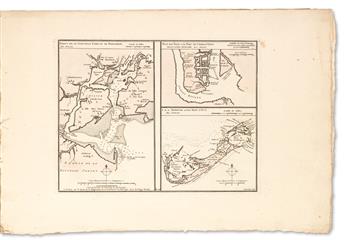
BUACHE, PHILLIPE. Plans des Isles, Rades et Ports de Plusieurs Lieux de l'Amérique,Tirés de la Carte Angloise de Popple Publiée en 1733. 19 engraved maps on 6 sheets. 13 3/4x21 inches sheet sizes, wide margins, stitch bound with a single cord; original light wash hand-coloring. Paris, 1740
Very rare French series adapting the inset charts which appeared on Henry Popple's large map of the British Empire in America. Each sheet is signed in the plate PB 1740 and numbered in the upper right; the individual maps include their own titles and scales. The first sheet bears the overarching title and an "Avertissement" describing the production, declaring it to be an improvement of the available information to French navigators for these waters, and also an invitation to communicate new information for future publications. Important harbors include Boston, New York, Charleston, Bermuda, St. Augustine, Havana, Cartagena and Kingston, Jamaica. Full sheet maps of Jamaica and Antigua also appear. A complete set of the six sheets has not appeared at auction since 1951 and only 3 complete institutional copies can be located.