Dec 17, 2020 - Sale 2555

Sale 2555 - Lot 38

Price Realized: $ 1,950
?Final Price Realized includes Buyer’s Premium added to Hammer Price
Estimate: $ 1,000 - $ 1,500
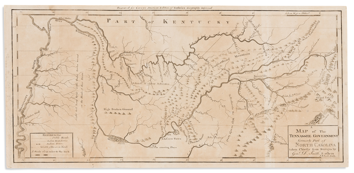
CAREY, MATHEW; and SMITH, DANIEL. A Map of the Tennassee Government Formerly Part of North Carolina. Engraved folding map of Tennessee on watermarked laid paper. 10x21 inches sheet size, ample margins; lightly age toned, right vertical fold reinforced on verso. Philadelphia, [1795]

Additional Details

The first printed map of Tennessee published in America, delineated by rivers, mountains, settlements, roads, and Indian boundaries and villages. Wheat & Brun 650.