Dec 13, 2018 - Sale 2496

Sale 2496 - Lot 40

Price Realized: $ 22,500
?Final Price Realized includes Buyer’s Premium added to Hammer Price
Estimate: $ 6,000 - $ 9,000
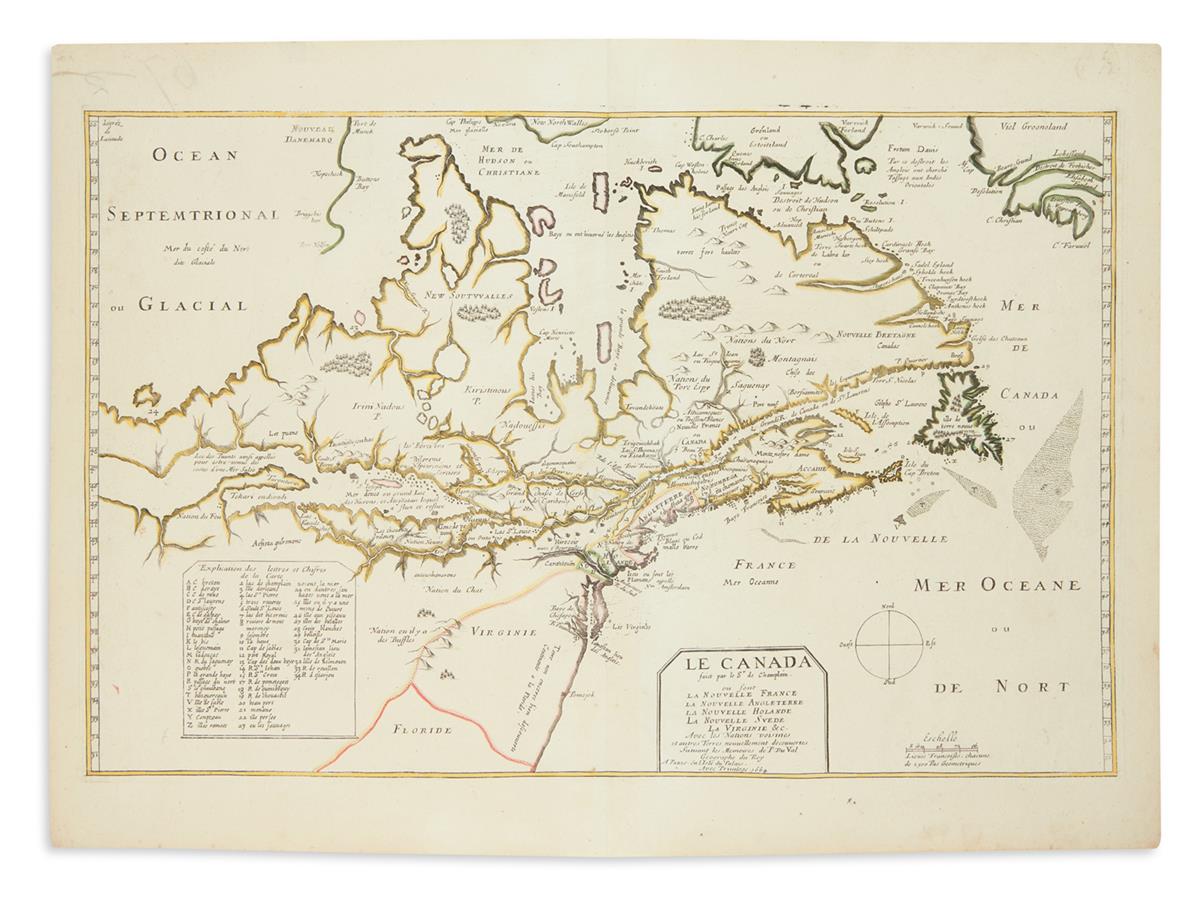
CHAMPLAIN, SAMUEL De.; and DU VAL, PIERRE. Le Canada Faict par le Sr de Champlain ou sont La Nouvelle France, La Nouvelle Angleterre, La Nouvelle Holande, La Nouvelle Suede, La Virginie &c. Avec les Nationes Voisines. Double-page engraved map of eastern Canada and the Atlantic Seaboard. 16 3/4x23 inches sheet size, wide margins; original hand-color in outline; early ink number on verso slightly oxidized through the sheet, minute worm track filled, wholly an exceptional and desirable example. Paris, 1664

Additional Details

A beautiful and scarce map depicting Champlain's later discoveries in Canada. The cartography was originally engraved in France circa 1616 and a lone example of a proof printing of the map during that period survives at the John Carter Brown Library. The copperplate from which that proof was printed was acquired by Du Val in 1653 who began publishing it with an added title cartouche and updated nomenclature. The map was never issued in the interim, making Du Val's the first obtainable map to show Champlain's newer discoveries, including Lake Huron and Lake Ontario. "For whatever purpose the map was made, it was largely based on [Champlain's] earlier more general map of 1612. Taking in even more territory, it attempted to show the various possibilities of reaching the western sea route to Asia" (Burden). The map also records the English presence at Jamestown and the Dutch presence at the Hudson River. The Chesapeake Bay is derived from the Captain John Smith map of 1612, the first map to use this information following Smith's original. Burden 188 and 309, fourth state; Kershaw 77, second state.